Maryland state parks now allow Class 1 pedal-assist e-bikes on many multi-use trails, with regulations taking effect July 1 to expand access for riders.
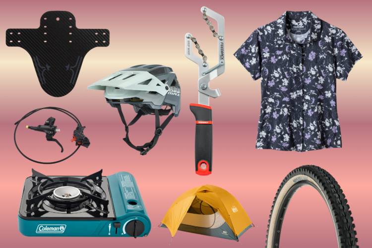
Today is the last day for many of the best cycling deals of the summer including clothing, tools, bikes, and components.
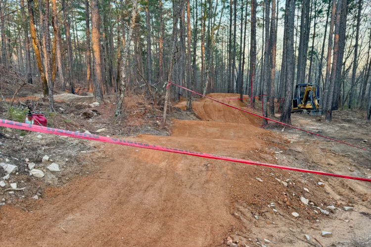
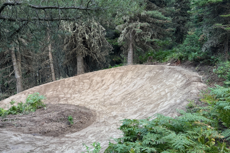
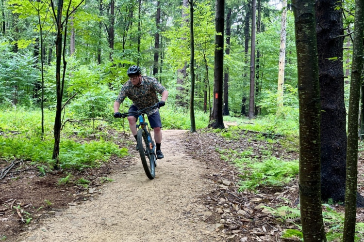
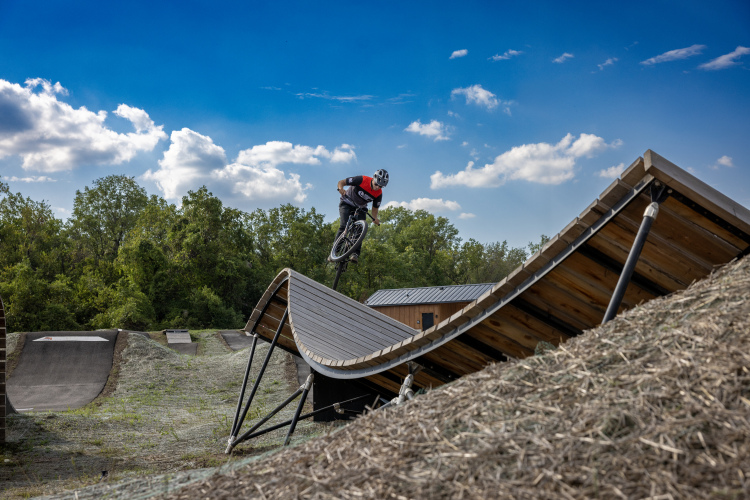
Joplin, Missouri's new 95-acre MOmentum Bike Park features 10 miles of trails, a pump track, jump lines, and facilities for all skill levels.
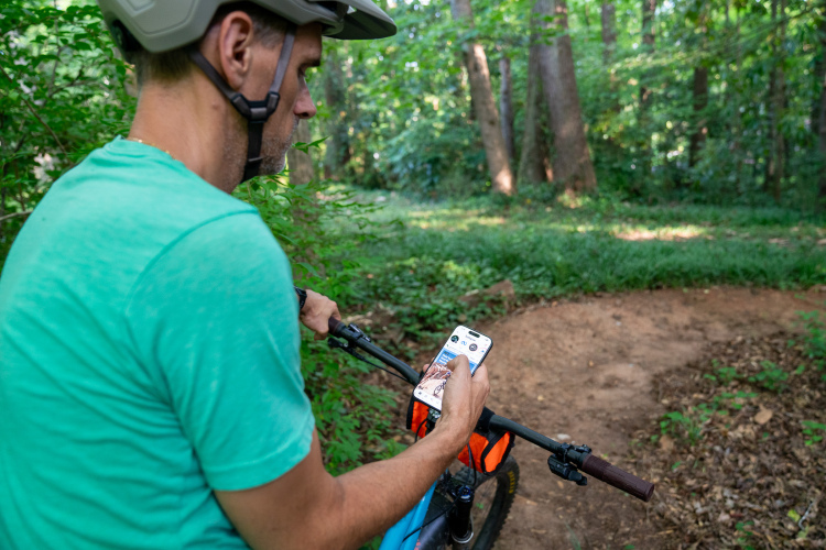
We want to know if you share your mountain bike rides on social media: regularly, occasionally, passively, or not at all.
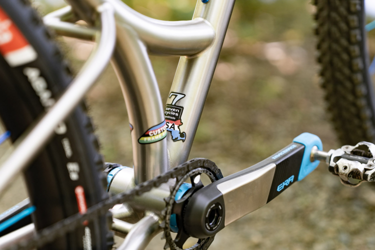
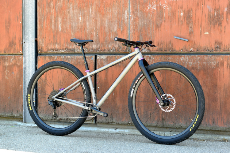
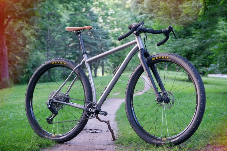
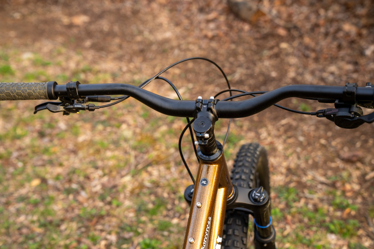
The Seven Cycles SolaRay is a titanium hardtail featuring unique frame design elements that are meant to deliver more than just a cool look.
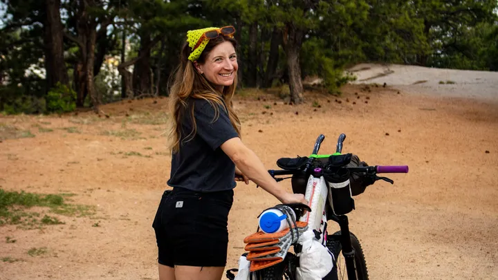
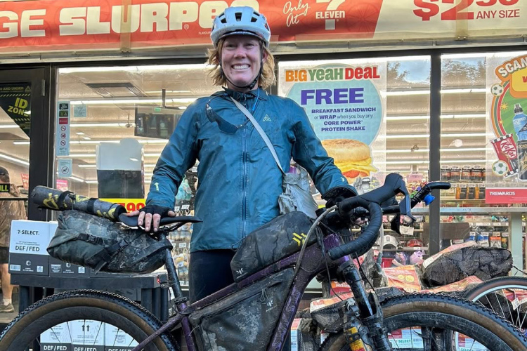
Just 60 miles from becoming the second woman to finish this year's Tour Divide, Alyssa Secreto was struck by a car, suffering severe injuries including fractured vertebrae and broken ribs.
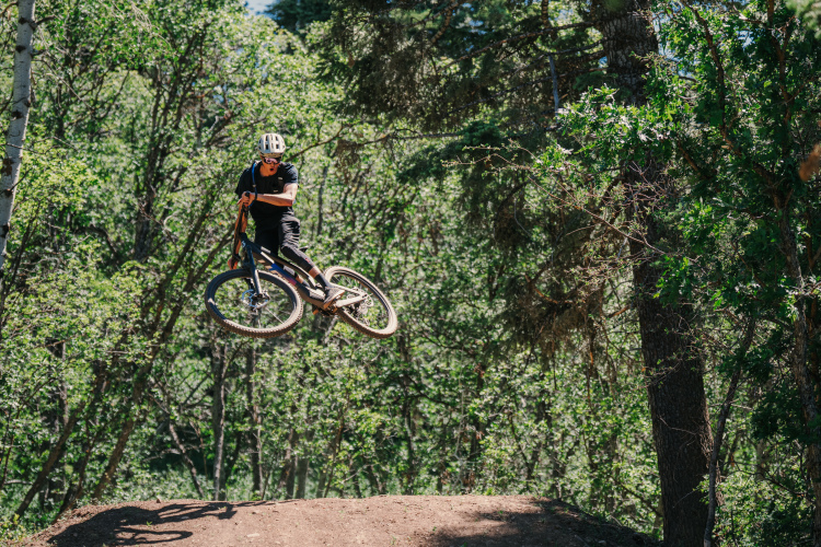
Snowbasin Resort near Salt Lake City, Utah, just officially added a bike park featuring four new trails from beginner to advanced. And more is likely coming.
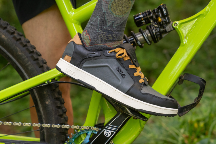
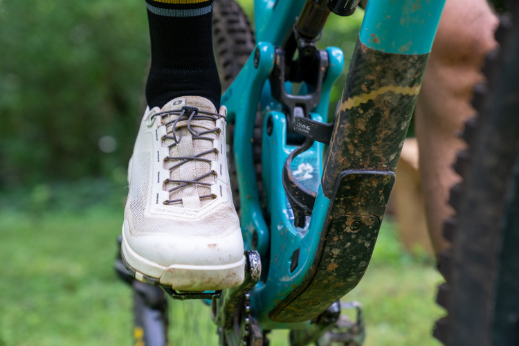
The Drift ARC is a waterproof, leather mountain bike shoe that works with clipless or flat pedals and looks like a casual sneaker.
Multiple user groups are collaborating to restore trails and build new ones at Washington's first community forest, Teanaway Community Forest.
The Nordest Gimonde is a titanium 32er downcountry frame with a slack 66° head tube angle and bikepacking mounts, priced at €1,799.
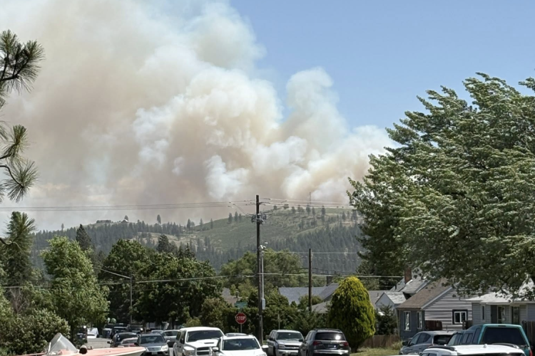
A wildfire at Spokane's Beacon Hill has closed 238 acres at Camp Sekani, and the extent of the damage and when the trails will reopen remain unknown.
Twin Six launches the Standard Ti 3x2, a titanium 32er frame designed for flat or drop bars, blurring the line between mountain and gravel bikes.
Nine trail organizations across California, Colorado, Georgia, Michigan, North Carolina, Tennessee, and Texas are all receiving a Trail Accelerator grant in 2026.
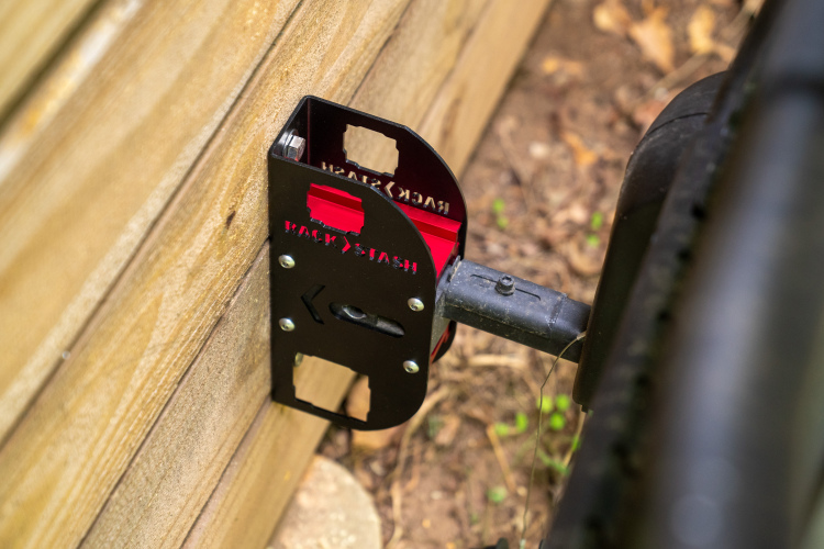
The 1UP USA Rack Stash is a wall-mounted hitch receiver that stores bike racks when not in use.
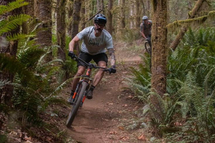
The Northwest Trail Alliance expanded Portland-area mountain biking with 12 new trails at Rocky Point and a growing system at Cascade Locks.
An event company has applied for a permit to return Red Bull Rampage to its original Virgin, Utah site for the 25th anniversary of the iconic freeride mountain bike competition.
Save on mountain bikes from Orange, Scott, Specialized and Niner ahead of July 4th. Plus, check out these excellent accessory and component discounts from our favorite online retailers.
Niner bikes are now available at 40% off through Jenson USA as the brand's parent company has paused operations indefinitely.
We want to know if you hit the trail running, or if you spend time warming up before a mountain bike ride.
The recently released BOLT Coalition Report proposes adding 13 long-distance trail routes to the portfolio, which would bring the total inventory to more than 13,000 miles of trails.
Meaghan Hackinen broke her own Tour Divide record, finishing in under 15 days and beating the women's ITT marker by over half a day.
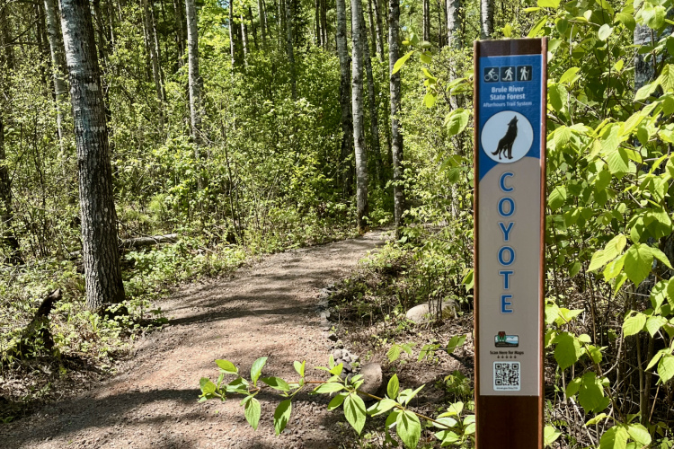
Brule River State Forest had singletrack but it was only open to hikers. Switching the trail to multi-use created a good problem for the area: they would need a lot more trails. Now, the forest boasts 9 miles and counting.
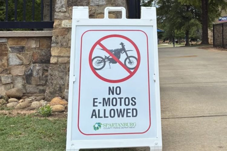
New Jersey, California, and Washington are implementing state-level regulations to distinguish between e-bikes and e-motos, targeting power limits and manufacturer labeling practices in response to dangerous incidents.
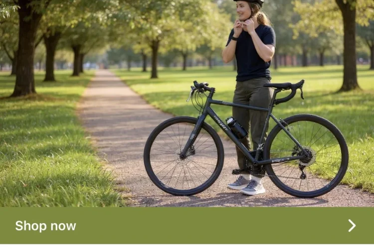
Meta automatically enrolled REI in an AI ad program that generated a nonsensical gravel bike image, prompting the retailer to remove the ad after consumer backlash.
Former racer and bike coach Ben Turits shares his ongoing recovery from Central Cord Syndrome after a serious mountain bike crash.
Speeding up the NEPA process sounds wonderful, but IMBA and other organizations are worried that a reformed NEPA takes away many of the safeguards that protect our public lands.
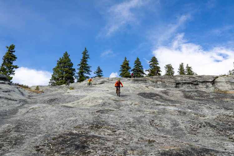
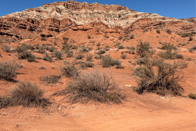
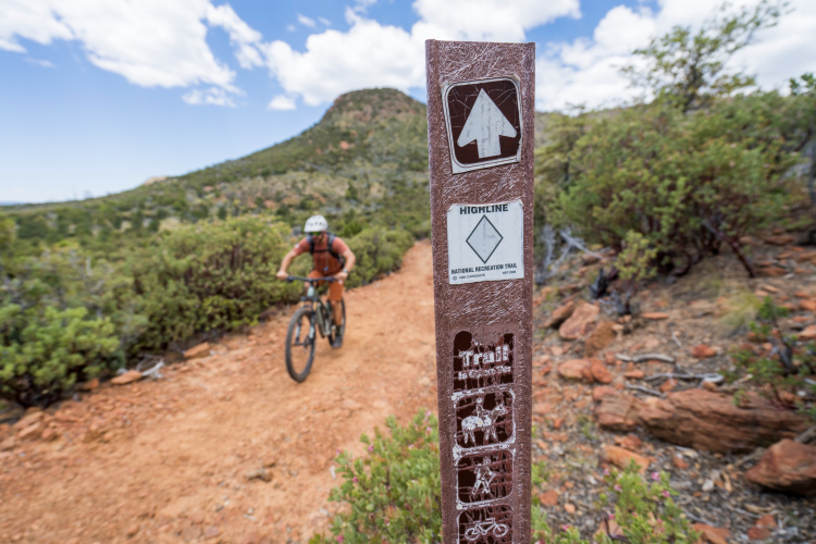
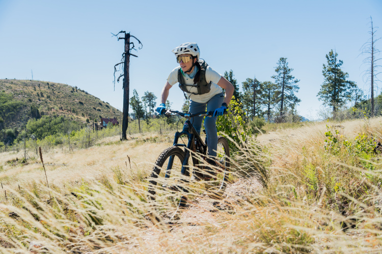
Is riding the Red Ridge Trail in Tucson, Arizona a good way to spend the day? We saddled up to find out.
French rider Victor Bosoni sets new Tour Divide record, completing the 2,700-mile route in under 12 days on a rigid drop-bar mountain bike.
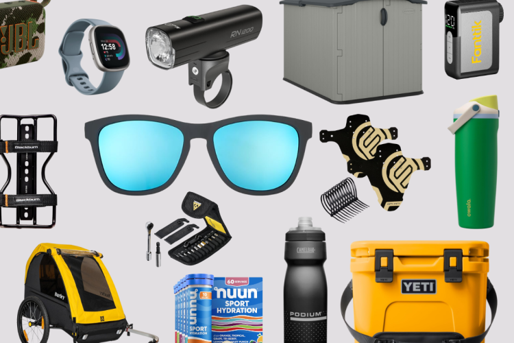
Amazon Prime Day delivers massive discounts on mountain bike gear, outdoor equipment, and electronics with deals running through the week for Prime members.
Industry veteran Rick Vosper discusses bike pricing, market trends, e-bike growth, the local bike shop landscape, and opportunities for brands in the post-COVID era.
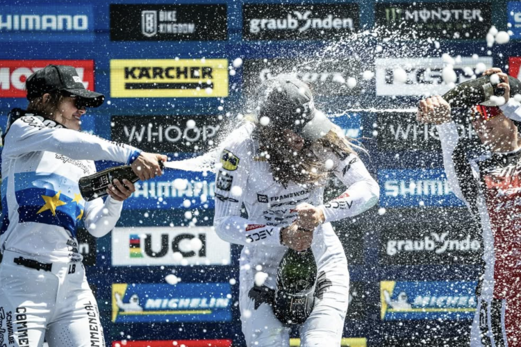
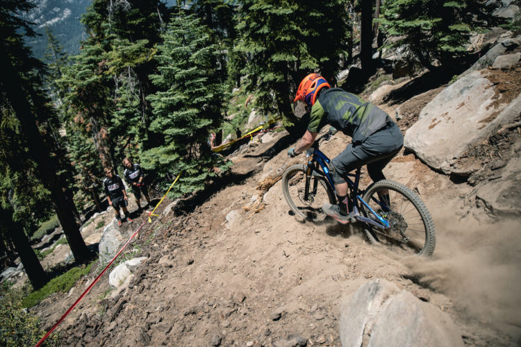
She's among a fresh crop of North American riders who are giving the Europeans, long dominant, some serious competition.
Following another sellout this month, two additional colorways of the Lems Trail Thrasher mountain bike shoe are in stock again. Save 15% with our exclusive coupon code.
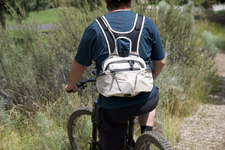
While the style of the Arctos Swift 6.2 pack may not be for everyone, the ample room, comfort, and security it provides on big rides is welcome.
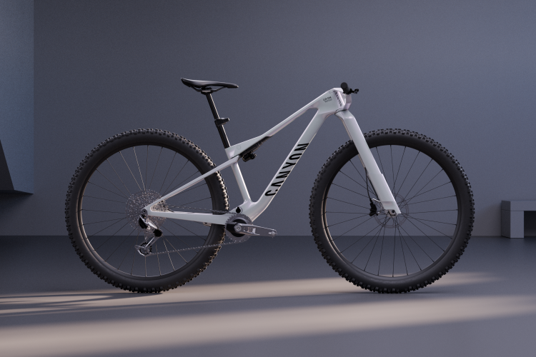
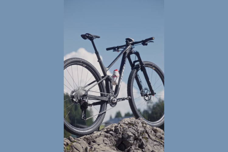
The Canyon Lux Era concept XC race bike features 32-inch wheels, ab inverted fork, aerodynamic design elements, and a dual-position bi-plane handlebar system.
In the last year, Bozeman has embarked on building its first flow trails, but the trail organization has had to turn to private land to be able to do so.
No mountain bike build is ever perfect. We want to know which stock part is generally the first to go when you buy a new bike.
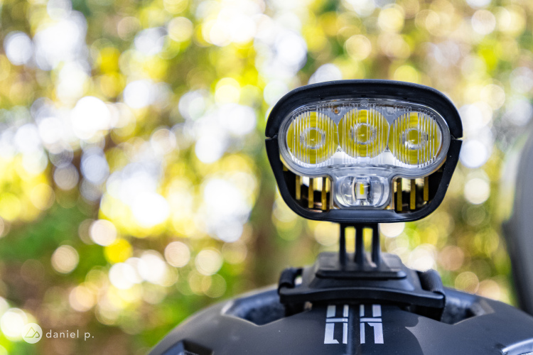
The Full On Lighting MB6 is a premium-quality 6,100-lumen helmet light that adjusts the brightness based on your speed.
Despite the buzz around 32-inch wheels, no one has raced one at the World Cup until today. Not only that, a 32er made the podium.
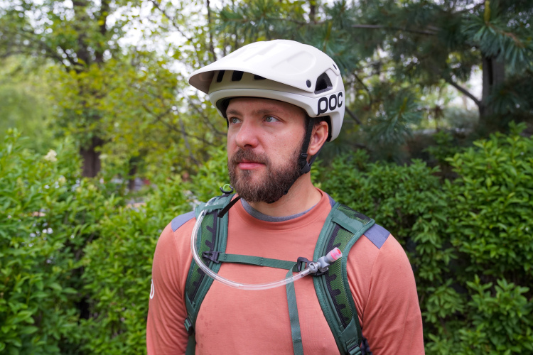
The new POC Cularis Pure helmet is adaptable when the weather turns sour, thanks to an interchangeable helmet cover.
China Peak Mountain Resort, outside of Fresno, California, will shut down bike park operations after this season, adding to the growing list of bike parks struggling in 2026.
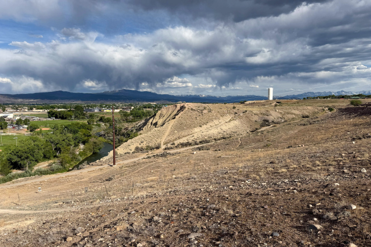
The city of Montrose, Colorado is planning a brand-new bike park in the center of town filled with gravity-style trails.
For years, locals and visitors have skipped the lifts at Deer Valley, opting to "pedal up" and ride the DH mountain bike trails for free. Well, those days are over.
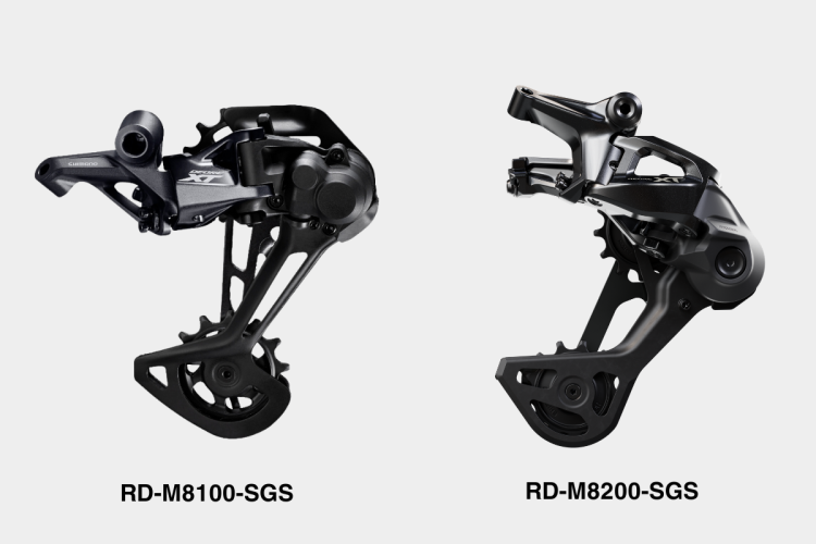
Shimano updates XT mechanical drivetrain with a wedge-shaped derailleur design, revised shifter ergonomics, and refreshed pedal platforms. Along with the changes, weights and prices have generally increased across the lineup.
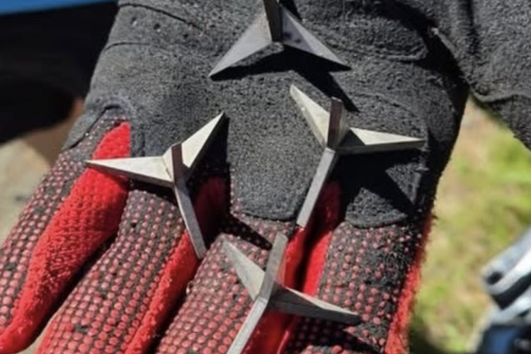
British Columbia officials are asking the public to be aware of their surroundings, as booby-trap spikes were found at local trails.
The Crankbrothers Mallet Trail Speed Lace Vent clipless pedal bike shoes feature extensive mesh ventilation and a light colorway to keep feet cool during hot summer rides.
The only thing better than a shuttle ride is a cheap shuttle ride! These picks around the US will haul you and your bike so you can access some epic MTB descents.
Save on Santa Cruz e-bikes and get a free Bosch PowerMore Range Extender with select models.
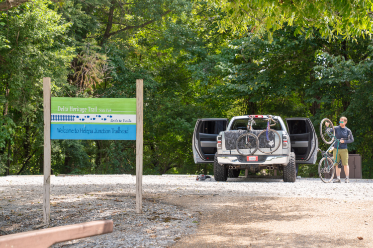
Forget the Kokopelli Trail: there's a new multi-day epic in town, and it's chock-full of sweet, sweet singletrack.
 1
1