

Just as relocating from Wyoming to North Dakota proved to be a real challenge for a brand new mountain biker in 2001, a later move in 2006, from Montana to the nation’s capital, would also throw me a rather unpleasant curveball. While my eventual residence in Fairfax County sat nicely in the middle of a triangle outlined by the Fountainhead trail system, Laurel Hill trails, and Wakefield / Accotink Park, all decent trail systems, none were what anybody would call epic. In fact, reaching anything “epic” would be a minimum of three hours driving each direction.
Wanting to get in an epic mountain bike ride, I had to get rather creative. Learning about the Cross County Trail (not cross country, indeed it is cross county, without the “r”) would prove to be my springboard to an epic, mostly off-road adventure, all within the confines of suburbia and even dense pack urban areas.

Officially the Gerry Connolly Cross County Trail, this urban/suburban route runs 40.5 miles in an arc across Fairfax County, Virginia, starting at Great Falls National Park at the north end and terminating in the quaint village of Occoquan at its south end. At first, I didn’t consider making the journey on a mountain bike as it isn’t all dirt, often incorporating long stretches of paved path, and even a couple extended sections of city streets to join segments. However, one day I glanced at a map of the county and noticed the cross county trail (CCT) incorporated some legitimate mountain bike trails, and passed closely to a number of others. So I hatched a plan: ride the length of the trail, periodically detouring off the main route to pull into each of these mountain bike trails, hop back on the CCT and continue to the next mountain biking area, ultimately sampling most of Fairfax County’s singletrack in a single ride.

Kicking It Off
I noticed that the beginning of the CCT started at one end of Great Falls National Park, so I had my wife drop me off at the park entrance. By riding through the park, I would add a few miles to my trek, and how often does one get to ride in a National Park? To be fair, the trek through the park was not on singletrack, but rather a rugged old carriage road that began with a climb up a ridge and occasional views of the Potomac River, before descending the ridge and meeting singletrack near the park boundary. This was the entrance to CCT proper on a segment also known as the Difficult Run trail.

The name “Difficult Run” doesn’t refer to the level of challenge of the trail, but rather comes from the name given to the stream by early longboatmen who had difficulty navigating a couple sharp bends. As for the trail, it was very level and free of any kind of challenge save for some muddy spots, as the area has very poor drainage.

Going the Extra Mile(s)
Less than four miles in, it was time to make the first detour and hop off the CCT proper to go grab some adjacent singletrack. The detour would take me on slightly more interesting singletrack through Colvin Run and on into Lake Fairfax Park. The Colvin Run trail sits a little higher than Difficult Run and drains better, so conditions were much improved, and the two-mile connector, with mostly good sight lines, went quick. Once in Lake Fairfax Park, the woods get more dense and even at 9am it got mighty dark in places, curbing speed. After looping close to three miles in the park, it was back out Colvin Run to the CCT. I had ridden Lake Fairfax as a stand-alone and found it wanting, but as a mileage upper for today’s epic, it was quite welcome.

Hitting Pavement (More than planned)
In short order, the CCT met the Washington & Old Dominion Trail, a 45-mile paved rail trail running east-west, as I was heading south. The CCT route joins the W&OD, briefly heading west before hopping off to the south on a segment called the Reston Trail. Unfortunately, I didn’t realize just how brief the joining was. After hitting the paved trail, I cranked up the speed and mindlessly pounded out a couple miles on the super-fast surface before deciding I had missed my turn. I turned around and headed back east, much more slowly so I could look for the turn. The entrance to the Reston Trail was rather inconspicuous, so it was easy to see how I missed it while pedaling along with my eyes out front rather than scanning the sides. But on a day like this, a few extra miles wouldn’t hurt anything.

The Reston Trail hops back into the Difficult Run Stream Valley and is mostly dirt, but joins a busy road for a while and crosses a few more. During this segment, it was time for my next major detour, hitting some residential streets to arrive at Fox Mill (now known as Fred Crabtree Park) and on to the Folkstone trail (aka Little Difficult Run Stream Valley Park). The singletrack in these small venues is not the best in the county, but it was well-worth the detour to get back onto dirt at this point. After passing through Oak Marr Park, the trail hits its first true bit of extended urban riding. Upon joining Jermantown Road, it’s genuine city riding, onto Blake Lane and until hitting Thaiss Park, another rather hard-to-find bit of trail. This was a slightly depressing part of the voyage; route finding on a mountain bike in the woods is fun… in the city, not so much.

Back in the High Life
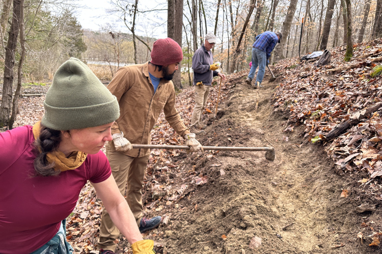
After emerging from Thaiss Park, the smile started to return to my face. No, I wasn’t back on singletrack yet; this segment of wide trail alternated between asphalt and stonedust surfaces, but I knew I was nearing my next detour–this time into Wakefield Park, home to some high quality singletrack and very familiar territory for me, as this was the closest venue to my residence. Before hitting Wakefield proper, I stumbled onto some dirt jumps which have since gone legit. After a little air time, it was on into Wakefield for roughly six extra miles from stream bottoms to a ridgetop with a huge, bermed slalom descent.

Wakefield’s mileage was never enough for me to get a good ride in, especially since I don’t like repeating laps. Fortunately, Wakefield lies almost adjacent to another singletrack venue, Lake Accotink Park, and I always rode them together. Indeed, I always referred to the area as “Wakotink,” indicating the two venues to essentially be one. Today was no different. After emerging on the south side of Wakefield, I took a slight detour and entered the north end of Accotink for an additional five miles of loops before coming out the south end and back onto the CCT proper. Accotink’s tighter trees and seemingly-incessant roots necessitated a slightly slower speed, but the variety was most welcome.

Going Urban, Again
Below Lake Accotink Park, the CCT is one with the Accotink Stream Valley Trail. While the first portion of this segment is largely wooded, it is on concrete or asphalt for its entire length. Late in the segment, it then joins the very wide and busy Rolling Road for a spell, followed by more pavement heading through a residential area. This was the second relatively depressing portion of the trip. But like the previous urbanized section, the frown didn’t last long, as I knew it would be emerging from the asphalt and back onto dirt soon, as I was nearing the Laurel Hill area with its additional nine miles of singletrack.

Finishing Up
Arguably the best trail at Laurel Hill is the Giles Run trail, which is separated from the rest of the area. Not wanting to miss it, I hopped off the CCT onto Giles Run, completed it, rejoined the CCT, and headed for the rest of the network. The Laurel Hill trails are built on the grounds of a long since decommissioned major prison network, and each of the remaining trails is named after the prison activity that occupied that portion of the complex. There are trails like the Slaughterhouse Loop, Apple Orchard Loop, Power Station Loop, and Dairy Barn Loop, each with its own character. While none are strenuous, they did require some resilience at this point, over 50 miles into my day. Upon successfully completing all loops, it was time to rejoin the CCT for the very short stretch to its terminus, and return to Laurel Hill where I had left my vehicle that morning.

I did this ride in the days before Strava, so I don’t have a precise track, but I estimate the total distance at close to 75 miles, the second greatest distance I’ve ever pedaled, and by far the greatest distance I’ve pedaled on a mountain bike. While there was little elevation change relative to distance (the CCT lists at around 1,400ft of total climbing, and my side trips probably doubled that), no matter how you slice it, 70 miles is a lot of pedal strokes. In the end, it was definitely mission accomplished with regard to creating a true mountain biking epic in an urban area.

Your Turn: Have you ever linked segments into one huge epic ride or found serious singletrack in the city? Tell us about it in the comments section below.


2 Comments
Mar 2, 2017
Mar 2, 2017
Thanks for this great write up. I lived in the DC area for 9 years (have since moved out to the mountains of West Virginia), all of these trails, locations are still very fresh in my mind, especially Laurel Hills. I wish I had considered such a ride while I lived in the area, still probably a little more tarmac than I would care to ride but worth it for the experience.
Cheers