These are five of the best beginner mountain bike trails in the Phoenix area.
The Patagonia Nine Trails 8L Waist Pack includes a hydration bladder and room for two bottles for all-day MTB shreds.
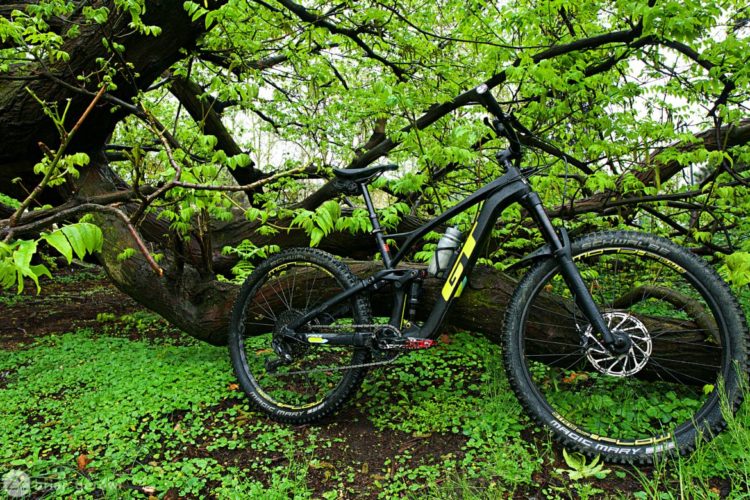
The GT Force Expert is an all-mountain bike that is eager to pop off whatever you point it at. With 27.5" wheels and 150mm of rear travel, this all-carbon, aggressive trail bike retails for $4,000.
We check out a Singletracks reader's customized bike. This Scott Contessa is decked out in pink and ready to race.
Pietra Ligure: Come for the beach, and stay for the mountain bike trails! Plus, an epic report from a surprisingly snowy enduro race.
We check out Pearl iZUMi's 2019 mountain bike line up, including rain jackets, bib liners, shorts, and jerseys.
Riders know the obvious dangers of mountain biking, but the woods harbor insects that carry all kinds of diseases. One bite from the lone star tick can cause the victim to develop an allergy to meat.
Matt takes a brief test ride on the Santa Cruz Megatower on the singletrack mountain bike trails just outside Santa Cruz headquarters.
Sea Otter recap: The mountain bikes we tested, the new and wacky products we found, and what Sea Otter means for mountain bike culture.
Jill Kintner shares her outlook on how mountain bike races are won, gives cornering tips, and dishes on her favorite places to ride.
The Axis hip pack from Mission Workshop is a simple, sturdy pack designed to carry just the right amount of trail gear.
The first two races of the 2019 NAES series visit Eureka Springs, Arkansas, and Revelstoke, Canada, leaving all of the celebratory duties to the final event at Snow Summit, California.
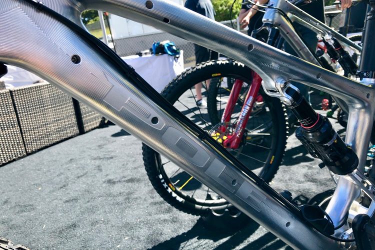
This was the weirdest looking new product at Sea Otter. We had to take it for a ride to see what this front end linkage mountain bike is all about.
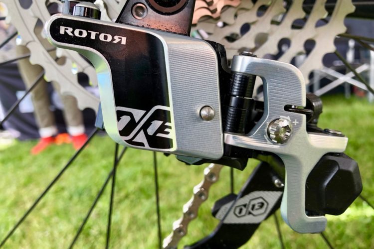
Brands like Rotor and e*thirteen are finding new and innovative ways to add more range to one-by mountain bike drivetrains.
A stand up mountain bike, full suspension gravel bike, vintage telescoping fork, race day tire sealant, and more from Sea Otter 2019. Or maybe it's 3019?
Remot Bikes are igniting their brand new fire with a carbon trail bike for under $4,000 that looks ready to party.
CushCore has new product with wider applications, and some science they say backs up their claims.
The Raleigh Tokul 3 hardtail mountain bike ticks most of the right boxes on the spec chart and looks great too.
The MRP Ramp Control PRO gives riders even more adjustability than the MRP Ramp Control. We also check out the new Raven mountain bike fork.
We round up 6 notable and interesting hardtail mountain bikes from Sea Otter 2019, ranging from steel to carbon and titanium. Every one of them sports at least 120mm of front travel.
A few new items around Sea Otter including shoes with impact-resistant soles, waterless bike wash, and lights by Knog.
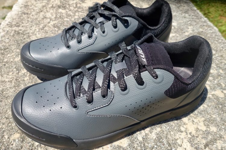
Giant launches a brand new flat pedal mountain bike shoe, the Shuttle Flat. Here's what we know so far after wearing them for a couple days.
Go big or small on your mountain bike rides with these bags from Ortlieb and Evoc.
Walmart's Viathon M.1 mountain bike is a racy, XC bike being marketed as fun, comfortable, and practical which begs a few questions.
US distributor Cycle Monkey brings German Brands Nicolai and Tout Terrain to the states with Gates Carbon Drive and Pinion gear boxes.
In this episode of the Singletracks podcast we talk about what enduro is, and why it matters to the sport of mountain biking. From athletes and races to bikes and gear, enduro is a reflection of how many of us approach riding.
This multi-sport GPS watch has a ton of features, but it misses the mark in a couple key areas.
We test out Patagonia's 2019 mountain bike line which includes the Dirt Roamer short, Nine Trails jersey, and Endless Ride bib liner.
Hutchison's pro mountain bikers asked for a faster gravity tire, and worked alongside company engineers to create just that.
The Urge Archi-Enduro RR full face mountain bike helmet was designed by the most qualified enduro experts in the business.
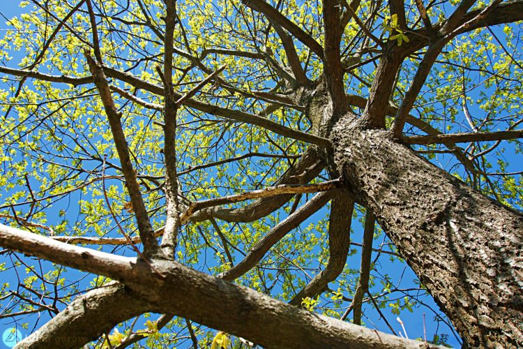
Oak trees are native to six of the seven continents on earth, so chances are you have mountain biked among them. Learn more about this magnificent tree species.
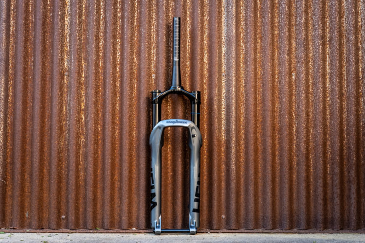
Updated Norco Revolver XC bike comes with 100mm or 120mm of rear travel. Plus, there are new forks from Cane Creek and Marzocchi, moto-inspired MTB rims from Zipp, and tall tires for wet and loose conditions from WTB.
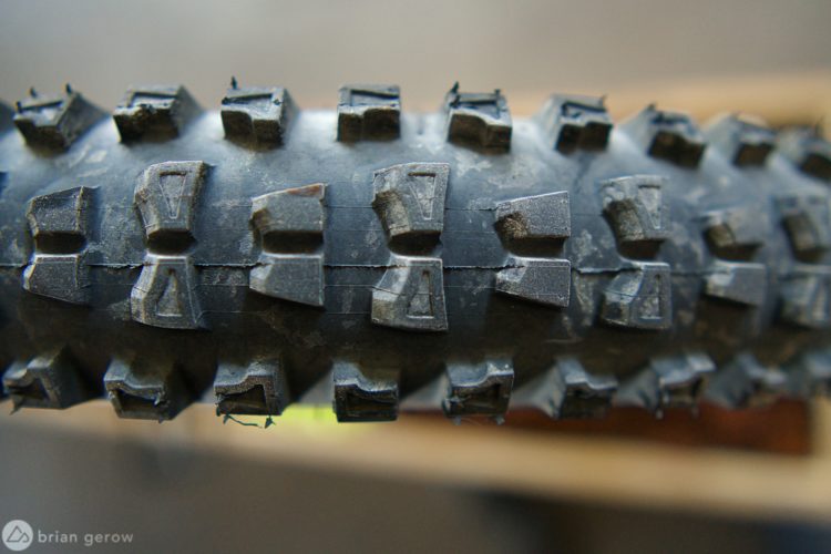
The Vee Flow Snap is an enduro mountain bike tire from the Thai company. It's a little on the heavy side, but seems to be a great aggressive trail tire.
The Mountainsmith Cycle Cube is a bike-specific duffel bag meant to manage lots of awkward and stinky bike gear.
Deborah Meghen and Niall Davie talk about the development of new mountain bike trails all over Ireland.
The Bluegrass Eagle Armour Lite D3O is a lightweight and simple vented spine protector.
A San Diego mountain biker finds a barbed wire trail trap and a rider in Colorado leaves the scene of another trap with several broken bones.
There's a lot of hype about the new WaveCel structure in new Bontrager helmets. Competitor responses came just as quickly, and it's hard to recognize who's right in the end.
We check out mountain bike multi-tools from top brands like Pro, SIlca, Pedro's, Topeak and Pro Bike Tool.
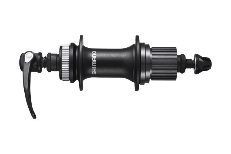
New 12-speed hub options, alongside a more affordable 4-piston brake and 203mm rotor option, show Shimano's dedication to entry-level riders.
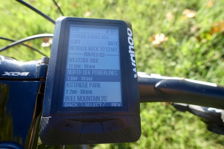
Link your Singletracks and Wahoo accounts to get free mountain bike trail routes on your GPS.
It's easy to let negative externalities ruin mountain biking's moments. Here are a few tips and philosophies to focus on the now.
Pro mountain bikers like Katy Curd know how to adapt and learn a new game. Katy shares her tips for building skills and managing fear.
We test ride the new Revel Rascal trail bike in Moab.
The Clear Creek 10 is Mountainsmith's first hydration pack marketed for mountain bike. It's fairly simple and affordable.
This week we get news on who's dominating the EWS, new bikes from Diamondback and Bold, and another NICA expansion.
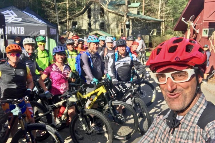
Check out the trails, bikes, skills, and good times from the 2019 Singletracks Ride-N-Rally.
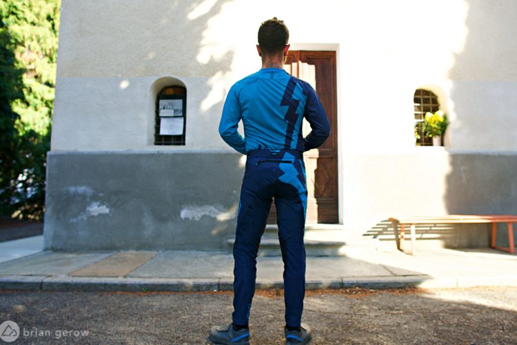
The Leatt DBX 4.0 pants are tailored, tough, and ready for the trail.


 6
6












![<!-- wp:shortcode -->
[feature]<img class="alignnone size-large wp-image-261036" src="https://images.singletracks.com/blog/wp-content/uploads/2019/04/best_bike_trails_phoenix-1170x653.jpg" alt="" width="1170" height="653" />[/feature]
<!-- /wp:shortcode -->
<!-- wp:paragraph -->
<p>If you're new to <a href="https://www.singletracks.com/Mountain-Bike-Trails-bike-trails_0.html?filterBy=|loc:33.448333~-112.073333~25~Phoenix%2C+AZ">Phoenix</a> you might be surprised at not only the number of <a href="https://www.singletracks.com/mountain-bike-trails/">mountain bike trails</a> spread throughout the metro area's many parks and reserves but by the quality and variety as well. That's right, not all of the trails are full-face-helmeted, body-armored, technical drop fests (like <a href="https://www.singletracks.com/bike-trails/national-trail.html">South Mountain's National Trail</a>). There are also miles upon miles of beginner-friendly trails for those who are more cross-country minded and downhill averse. That said, don't scratch these off your list of rides if you are at an intermediate or advanced skill level. All of these trails become something altogether different when you ride them with speed and reckless abandon. Each has side trails and spurs branching off from them that are more difficult if you should so choose to sample those.</p>
<!-- /wp:paragraph -->
<!-- wp:paragraph -->
<p>A few caveats before we begin: Phoenix gets hot from May to early October. Very hot. Every summer someone dies on the trails who <a href="https://www.washingtonpost.com/news/morning-mix/wp/2016/06/22/100-percent-avoidable-hiker-deaths-mount-in-blazing-az-heat-wave/?noredirect=on&utm_term=.03afbd8fcee6">hikes</a> or <a href="https://www.azcentral.com/story/news/local/phoenix-breaking/2016/06/19/phoenix-fire-crews-give-woman-cpr-during-mountain-rescue/86113792/">bikes</a> in extreme heat when they shouldn't have. Ride early, drink a lot, and be careful out there.</p>
<!-- /wp:paragraph -->
<!-- wp:paragraph -->
<p>OK, time to hit the trails.</p>
<!-- /wp:paragraph -->
<!-- wp:heading -->
<h2 class="wp-block-heading" id="h-usery-mountain-regional-park"><a href="https://www.singletracks.com/bike-trails/usery-mountain-regional-park.html">Usery Mountain Regional Park</a></h2>
<!-- /wp:heading -->
<!-- wp:image {"align":"none","id":259264,"className":"size-full wp-image-259264"} -->
<figure class="wp-block-image alignnone size-full wp-image-259264"><img src="https://images.singletracks.com/blog/wp-content/uploads/2019/02/5Best-Usery-Superstition.jpg" alt="" class="wp-image-259264"/><figcaption class="wp-element-caption">Blevins Loop looking east toward the Superstition Springs Mountains. All photos Ray Southwick.</figcaption></figure>
<!-- /wp:image -->
<!-- wp:paragraph -->
<p>This is by far the flattest and easiest of the five trails included in this list, and a perfect place to take someone riding for the first time. Located just outside of the Phoenix suburb of Mesa, it doesn't tend to get as crowded as the popular Phoenix trails. The trails are either slightly uphill or down, and for the most part, rather straight as they meanders gently down through several desert washes on smooth, sandy single and doubletrack.</p>
<!-- /wp:paragraph -->
<!-- wp:paragraph -->
<p>The 3-mile Blevins Loop is the center of the <a href="https://www.maricopacountyparks.net/assets/1/6/usery-8x1441.pdf">trail system</a>, but add in the curvy <a href="https://www.singletracks.com/bike-trails/blevins-moon-rock-loop.html">Moon Rock Trail</a> or shred through the more rocky Meridian/County Line/Ruidoso Trails combo, and the miles start to fly by. To add some spice, go up and over Cat's Peak a couple times, which is the only real intermediate, hilly, somewhat technical area of the park, and take a look at the desert landscape, which is filled with saguaro, cholla, and prickly pear cacti as far as you can see. Along the way you may see some coyotes, jackrabbits, roadrunners, lizards, quails, and on rare occasions, javelina, rattlesnakes, and even deer.</p>
<!-- /wp:paragraph -->
<!-- wp:paragraph -->
<p>From this point, Pass Mountain is directly to the north of the park, and 10 miles to the east you have a clear view of the impressive Superstition Mountains in the distance (Pass Mountain technically isn't part of <a href="https://www.singletracks.com/bike-trails/usery-mountain-regional-park.html">Usery Mountain Regional Park</a> but instead is part of Tonto National Forest).</p>
<!-- /wp:paragraph -->
<!-- wp:image {"align":"none","id":259262,"className":"size-full wp-image-259262"} -->
<figure class="wp-block-image alignnone size-full wp-image-259262"><img src="https://images.singletracks.com/blog/wp-content/uploads/2019/02/5Best-Usery-North-2.jpg" alt="" class="wp-image-259262"/><figcaption class="wp-element-caption">Looking north into the Tonto National Forest.</figcaption></figure>
<!-- /wp:image -->
<!-- wp:paragraph -->
<p>The beauty of this park for beginners is that you are never far from where you start, and if you get tired, you can usually return to your car rather easily. Just avoid going down any trails with "wash" in their title.</p>
<!-- /wp:paragraph -->
<!-- wp:paragraph -->
<p>If you want to make things much more challenging, hop on the Pass Mountain Trail in the Tonto National Forest and go north from the park four miles on the west side of Pass Mountain. This is an intermediate level trail for sure, in both terrain and elevation gain, and takes riders to an incredible vista point on the very north side of the mountain's base. Don't be seduced by the power of the east side of <a href="https://www.singletracks.com/bike-trails/pass-mountain.html">Pass Mountain</a>, however, and turn around and go back the way you came once you've taken in the scenery. The east side offers stunning vistas too but is an absolute rocky mess and a downright dangerous trail unless you have the right bike and advanced skills.</p>
<!-- /wp:paragraph -->
<!-- wp:image {"align":"none","id":259254,"className":"size-full wp-image-259254"} -->
<figure class="wp-block-image alignnone size-full wp-image-259254"><img src="https://images.singletracks.com/blog/wp-content/uploads/2019/02/5Best-Usery-North.jpg" alt="" class="wp-image-259254"/><figcaption class="wp-element-caption">Vista Point on Pass Mountain.</figcaption></figure>
<!-- /wp:image -->
<!-- wp:paragraph -->
<p>The cost to enter any of the <a href="https://www.maricopacountyparks.net/">Maricopa County Regional Parks</a> is $7 whether you park at a trailhead or drive in. Pro tip: Entering by bike is only $2, so save $5 by parking nearby and riding in.</p>
<!-- /wp:paragraph -->
<!-- wp:heading -->
<h2 class="wp-block-heading" id="h-san-tan-mountain-regional-park"><a href="https://www.singletracks.com/bike-trails/san-tan.html">San Tan Mountain Regional Park</a></h2>
<!-- /wp:heading -->
<!-- wp:paragraph -->
<p>Another Maricopa County Regional Park, this is just south of the town of Queen Creek, southeast of Phoenix. Though it is quite a sustained climb, the best way to start your ride is to enter at the park's northernmost trailhead at the end of Wagon Wheel Road, and commence a 1.3 mile gradual ascent on Dynamite Trail, to a saddle, which drops after a series of switchbacks to the San Tan Trail below. The <a href="https://www.maricopacountyparks.net/assets/1/6/san-tan-8x11.pdf">San Tan Trail, </a>when combined with Littleleaf and a portion of Goldmine, is a 7.5 mile loop that runs around a small valley, up and over a mixture of singletrack, doubletrack, and even a wide fire road.</p>
<!-- /wp:paragraph -->
<!-- wp:image {"align":"none","id":259260,"className":"size-full wp-image-259260"} -->
<figure class="wp-block-image alignnone size-full wp-image-259260"><img src="https://images.singletracks.com/blog/wp-content/uploads/2019/02/5Best-San-Tan-Dynamite.jpg" alt="" class="wp-image-259260"/><figcaption class="wp-element-caption">Dynamite Trail.</figcaption></figure>
<!-- /wp:image -->
<!-- wp:paragraph -->
<p><a href="https://www.singletracks.com/bike-trails/san-tan.html">San Tan Trail</a> offers a mix of shreddable features: very fast, long, downhill portions; quick dips through washes; and prolonged climbs up, over, and through big rock outcroppings and cacti. Rarely flat, riders are either going up or down, as a good mountain bike trail should. Though not particularly rocky or uneven, much of the trail is far from buff singletrack.</p>
<!-- /wp:paragraph -->
<!-- wp:paragraph -->
<p>Riders can traverse the loop one way, and then do it again from the opposite direction for a completely different trail feel. In the middle of San Tan loop are two trails that bisect it, Moonlight and Hedgehog, which add even more variety. Moonlight is mostly downhill going west to east while Hedgehog requires a chug to the top before a screaming burn down from either direction. Stargazer is a fun, winding detour too.</p>
<!-- /wp:paragraph -->
<!-- wp:image {"align":"none","id":259261,"className":"size-full wp-image-259261"} -->
<figure class="wp-block-image alignnone size-full wp-image-259261"><img src="https://images.singletracks.com/blog/wp-content/uploads/2019/02/5Best-San-Tan-Hedgehog.jpg" alt="" class="wp-image-259261"/><figcaption class="wp-element-caption">The top of Hedgehog Trail.</figcaption></figure>
<!-- /wp:image -->
<!-- wp:paragraph -->
<p>The icing on top of this mountain biking cake is reaching the Dynamite saddle on your way back north, as the entire 1.3 miles back to your car is 95 percent downhill, and 100 percent fun.</p>
<!-- /wp:paragraph -->
<!-- wp:paragraph -->
<p>Like all the Maricopa County Park regional parks, San Tan has exceptionally clean bathrooms with flushing toilets, drinking fountains, and a nature center.</p>
<!-- /wp:paragraph -->
<!-- wp:heading -->
<h2 class="wp-block-heading" id="h-south-mountain-desert-classic">South Mountain - <a href="https://www.singletracks.com/bike-trails/desert-classic.html">Desert Classic</a></h2>
<!-- /wp:heading -->
<!-- wp:image {"align":"none","id":259257,"className":"size-full wp-image-259257"} -->
<figure class="wp-block-image alignnone size-full wp-image-259257"><img src="https://images.singletracks.com/blog/wp-content/uploads/2019/02/5Best-DC-Saddle-2.jpg" alt="" class="wp-image-259257"/><figcaption class="wp-element-caption">The Desert Classic saddle on the far west side. Once you're here, you've already gone about 7.25 miles.</figcaption></figure>
<!-- /wp:image -->
<!-- wp:paragraph -->
<p>To call this a "beginner" trail is a bit of a misnomer. Sure, you never gain a lot of elevation or experience a ton of tech if you stay on Desert Class proper, but it is also rocky, fast, and full of deep plunges in and out of loose washes. The trail is far from short, at nearly 18 miles if you go to the end of the almost 9-mile trail, turn around, and come back. As my friend John likes to say, "It's non-technical, but it's not a beginner trail either." A flow trail it is not.</p>
<!-- /wp:paragraph -->
<!-- wp:paragraph -->
<p>Stretched out like a long snake in the desert sun, Desert Classic is on the south side of <a href="https://www.phoenix.gov/parks/trails/locations/south-mountain/trail-descriptions-and-map">South Mountain</a> and runs parallel to the range at its base. The Pima Canyon Trailhead was recently revamped and is a good place to start as it offers free parking.</p>
<!-- /wp:paragraph -->
<!-- wp:paragraph -->
<p>What <a href="https://www.singletracks.com/bike-trails/desert-classic.html">Desert Classic</a> lacks in beauty (it is downright ugly, brown, and barren compared to the greenery of Usery, for instance) it makes up for in its rugged "Human vs. Mountain" persona. This trail taunts you, teases you, and begs you to hammer through it before this deceptive serpent strangles you aerobically and leaves you breathless. Beginner trail? Ride it and see.</p>
<!-- /wp:paragraph -->
<!-- wp:image {"align":"none","id":259255,"className":"size-full wp-image-259255"} -->
<figure class="wp-block-image alignnone size-full wp-image-259255"><img src="https://images.singletracks.com/blog/wp-content/uploads/2019/02/5Best-DC-Purple.jpg" alt="" class="wp-image-259255"/><figcaption class="wp-element-caption">For the most part, Desert Classic isn't the most scenic trail, but recent rains did bring a splash of colorful wildflowers.</figcaption></figure>
<!-- /wp:image -->
<!-- wp:paragraph -->
<p>Some landmarks to ponder: Going west from Pima Canyon Trailhead, you reach a large tan water tank at 3.5 miles, a big boulder outcropping known as "Bus Stop" 6 miles, and a relatively high plateau at 7.25 miles. Unfortunately, those who never go west of the Bus Stop to the saddle miss out as this roughly 1-mile western gem-of-a-segment includes a long rock garden, some brief but techy climbs, and multiple S-curves that take you up to the top.</p>
<!-- /wp:paragraph -->
<!-- wp:image {"align":"none","id":259256,"className":"size-full wp-image-259256"} -->
<figure class="wp-block-image alignnone size-full wp-image-259256"><img src="https://images.singletracks.com/blog/wp-content/uploads/2019/02/5Best-DC-Rockgarden.jpg" alt="" class="wp-image-259256"/><figcaption class="wp-element-caption">The trail gets a bit rockier and more challenging as you go west of the Bus Stop.</figcaption></figure>
<!-- /wp:image -->
<!-- wp:paragraph -->
<p>Like all good trails, Desert Classic has an obligatory offshoot called Goat Trail (skip it) and Secret Trail (ride it), not to mention a 275-foot ascent in less than one mile called Helipad Trail that is certainly not "beginner" but worth the trip if you are up for it.</p>
<!-- /wp:paragraph -->
<!-- wp:paragraph -->
<p>Despite claiming to be the largest city park in the United States, South Mountain Park, and especially Desert Classic trail, are very crowded on weekends and holiday mornings. Your best bet is to ride at off-peak times if you can and to bring a <a href="https://www.singletracks.com/blog/mtb-gear/timber-mountain-bike-bell-passively-warns-hikers-has-an-off-switch/">bell.</a> Otherwise, you'll be saying "On Your Left" more times than Bernie Sanders at a Trump Rally. That said, for whatever reason Arizona hikers and mountain bikers are usually a pretty laid back, courteous sort, and trail conflict is quite rare. This is possibly because they all left the Midwest's snow behind when they moved here, and are just plain happy.</p>
<!-- /wp:paragraph -->
<!-- wp:heading -->
<h2 class="wp-block-heading" id="h-phoenix-mountain-preserve-trail-100">Phoenix Mountain Preserve - <a href="https://www.singletracks.com/bike-trails/trail-100.html">Trail 100</a></h2>
<!-- /wp:heading -->
<!-- wp:image {"align":"none","id":259258,"className":"size-full wp-image-259258"} -->
<figure class="wp-block-image alignnone size-full wp-image-259258"><img src="https://images.singletracks.com/blog/wp-content/uploads/2019/02/5Best-Dreamy-Sunrise.jpg" alt="" class="wp-image-259258"/><figcaption class="wp-element-caption">Sunrise at the Dreamy Draw saddle feels a world away from the city you just left behind.</figcaption></figure>
<!-- /wp:image -->
<!-- wp:paragraph -->
<p>Beginning at the Dreamy Draw parking lot and trailhead, most people who ride <a href="https://www.phoenix.gov/parkssite/Documents/PKS_NRD/northlarge.pdf#search=trail%20100">Trail 100</a> go east and ramble up a gradual 1-mile climb to a saddle. Smack dab in the middle of urban north Phoenix, and just off the often congested Highway 51, it is remarkable how quickly the sights and sounds of the city disappear behind you as you descend from the saddle into the expansive desert valley below.</p>
<!-- /wp:paragraph -->
<!-- wp:paragraph -->
<p>Even though <a href="https://www.singletracks.com/bike-trails/trail-100.html">Trail 100</a> only goes three miles east from here before terminating at Tatum Boulevard, it is the numerous connector trails that branch from it for miles and miles along the way, both north and south, that make this an explorer's dream. Some of the connectors (such as Trails 1A and 8) go up higher into the mountains and get increasingly difficult with switchbacks and small drops, while many of the trails to the north retain the fast and flat sand-over-hard dirt nature of 100 itself. If you are looking for something more challenging, check out the more technical and advanced offshoots higher in the mountains, such as Hairball, Cheesegrater, and Voaz.</p>
<!-- /wp:paragraph -->
<!-- wp:image {"align":"none","id":259259,"className":"size-full wp-image-259259"} -->
<figure class="wp-block-image alignnone size-full wp-image-259259"><img src="https://images.singletracks.com/blog/wp-content/uploads/2019/02/5Best-Dreamy.jpg" alt="" class="wp-image-259259"/><figcaption class="wp-element-caption">Looking north from the 1A Trail.</figcaption></figure>
<!-- /wp:image -->
<!-- wp:paragraph -->
<p>While most people prefer Trail 100's east side, if you have time on another day you may want to go west of the Dreamy Draw parking lot and sample Trail 100's west side too, which continues roughly seven miles in a northwest direction. You access it by going under freeway 51 through a tunnel. Other than a few steep climbs and descents in the first couple miles, the west side is rather tame thereafter.</p>
<!-- /wp:paragraph -->
<!-- wp:heading -->
<h2 class="wp-block-heading" id="h-mcdowell-mountain-regional-park-sport-loop"><a href="https://www.singletracks.com/bike-trails/mcdowell-mountain-park.html">McDowell Mountain Regional Park</a> - Sport Loop</h2>
<!-- /wp:heading -->
<!-- wp:image {"align":"none","id":259768,"className":"size-full wp-image-259768"} -->
<figure class="wp-block-image alignnone size-full wp-image-259768"><img src="https://images.singletracks.com/blog/wp-content/uploads/2019/02/5Best-McDowell.jpg" alt="" class="wp-image-259768"/><figcaption class="wp-element-caption">McDowell Mountains from Long Loop.</figcaption></figure>
<!-- /wp:image -->
<!-- wp:paragraph -->
<p>North of the town of Fountain Hills lies McDowell Mountain Regional Park and over 50 miles of mountain biking trails. While most of these trails are rated beginner and intermediate, the part you will likely want to check out first is the <a href="https://www.maricopacountyparks.net/assets/1/6/mcdowel-competitive-8x11.pdf">Competitive Track</a>, which includes three racing courses: <a href="https://www.singletracks.com/bike-trails/mcdowell-mountain-park.html">Sport Loop, Tech Loop, and Long Loop.</a> Totaling almost 14 miles of single-direction riding, Sport Loop has the most beginner appeal. Just three miles in length, you gradually pedal up this trail for about 1.5 miles before grinning your way back down through several fast, straight sections with occasional dips, twists, and turns, to include a few half-pipe-like cambered corners toward the very end.</p>
<!-- /wp:paragraph -->
<!-- wp:paragraph -->
<p>Since the trail surface is so incredibly buff and the layout so well crafted, Sport Loop allows beginners to challenge themselves with speed and cornering in a way that is both safe and rare when compared to your typical rocky desert singletrack. Like a catchy hip-hop song, it's so fun and short you just may want to repeat it again and again.</p>
<!-- /wp:paragraph -->
<!-- wp:image {"align":"none","id":259767,"className":"size-full wp-image-259767"} -->
<figure class="wp-block-image alignnone size-full wp-image-259767"><img src="https://images.singletracks.com/blog/wp-content/uploads/2019/02/5Best-McDowell-Sport.jpg" alt="" class="wp-image-259767"/><figcaption class="wp-element-caption">Sport Loop in the morning.</figcaption></figure>
<!-- /wp:image -->
<!-- wp:paragraph -->
<p>For history lovers, the Competitive Track is also the home of the <a href="https://thecactuscup.com/history/">Specialized Cactus Cup,</a> which in the late 90s saw the likes of Ned Overend, John Tomac, Dave Weins, and Juli Furtado tearing up the dirt. The trail was hand-cut by inmates.</p>
<!-- /wp:paragraph -->
<!-- wp:paragraph -->
<p>While Long Loop and Tech Loop may be too much for a novice, in 2013 the park built the <a href="https://www.maricopacountyparks.net/assets/1/6/mcdowell-8x11-mi.pdf">Escondido Trail</a> just north of the Competitive Track that an aerobically-fit beginner would find challenging, yet doable. An out-and-back trail that is almost 13 miles in length, the first three miles serves up a series of very fast straight downhills on hard, smooth, marble-like singletrack, that alternates with long, gradual ascents, a few sharp corners, and even a bit of exposure. The last two miles before the turn-around point rises about 250 feet in elevation, so riders will certainly earn their views at the top.</p>
<!-- /wp:paragraph -->
<!-- wp:paragraph -->
<p>Other Phoenix beginner trails to consider:</p>
<!-- /wp:paragraph -->
<!-- wp:list -->
<ul><!-- wp:list-item -->
<li><a href="https://www.singletracks.com/bike-trails/papago-park-area.html">Papago Park, Tempe</a></li>
<!-- /wp:list-item -->
<!-- wp:list-item -->
<li><a href="https://www.singletracks.com/bike-trails/browns-ranch-to-granite-mountain.html">Brown's Ranch, Scottsdale</a></li>
<!-- /wp:list-item -->
<!-- wp:list-item -->
<li><a href="https://www.singletracks.com/bike-trails/estrella-mtn-park-competitive-loop.html">Estrella Mountain Regional Park, Goodyear</a></li>
<!-- /wp:list-item -->
<!-- wp:list-item -->
<li><a href="https://www.singletracks.com/bike-trails/fins.html">Fantasy Island North Singletrack (FINS), Goodyear</a></li>
<!-- /wp:list-item -->
<!-- wp:list-item -->
<li><a href="https://www.singletracks.com/bike-trails/white-tanks-regional-park-trails.html">White Tank Mountain Regional Park, Surprise</a></li>
<!-- /wp:list-item --></ul>
<!-- /wp:list -->
<!-- wp:paragraph -->
<p><em>What is your go-to trail for taking first time riders in Phoenix?</em></p>
<!-- /wp:paragraph -->](https://images.singletracks.com/blog/wp-content/uploads/2023/02/Barb_Wire.jpg)