
During a recent trip to visit my friends Gwyn and Kurt, the topic of where to ride quickly came up. The couple had just finished building a house in the mountains near Saluda, North Carolina, from which you can access any number of amazing trails. The trails of Brevard, Dupont, Mills River, Bent Creek, and many others are less than an hour away. Since we were looking for an all-day kind of ride, Kurt suggested his all-time favorite route of the Old Toll Road to Heartbreak Ridge.

I had ridden Heartbreak Ridge once before, but it was during the Off Road Assault on Mt. Mitchell. To access the trail, the race routed us up the long and winding Curtis Creek Road until it intersected with the Blue Ridge Parkway after 9.5 miles of climbing. After another 5.5 miles on the Parkway, we were finally at the trail. I remember the descent down Heartbreak Ridge fondly, but at just 4 miles the party was over all too soon. I wasn’t interested in climbing 15 miles of gravel and road to ride 4 miles of trail. Kurt assured me that by taking the Old Toll Road instead of Curtis Creek and the Parkway, the ride would be well worth it.
We started by parking near the base of another popular trail, Kitsuma. From there, we rode west on Old Highway 70 briefly before turning right into the Ridgecrest Conference Center. The Conference Center is private property, so check in at the front gate to make sure the trails are open. From here, the climbing begins. You’re on a narrow paved road for the first part, and right away it gets steep. Follow signs for the Rattlesnake Trail. There will be a hike-a-bike at the top of Rattlesnake where it joins the Old Toll Road (around 2.5 miles).
Once you’re on the Old Toll Road the grade mellows, but the technical factor increases. It’s best to find a nice gear to spin in and pick your way up. You’re going to be on this road for a long time, around 8.5 miles, so accept that and enjoy the ride! Adding to the technical difficulty of the climb, we had to negotiate random patches of ice. A couple weeks prior, the area had gotten several inches of snow. In the cold, north-facing coves, there were still small piles of snow lining the trail. The ice made things interesting and forced me to walk a time or two where I would have otherwise been riding, as you can see in the video below.
We did see a couple of vehicles on the Toll Road, which was surprising considering the amount of rock and narrow lane. These were 4×4 vehicles, though, as no car could make that trek. Speeds were slow and the drivers were friendly, so there were no issues.

To keep you from dwelling on the pain of the climb, there are great views of the surrounding mountains. This was especially true since we were riding it in the dead of winter, when all the leaves are off the trees. Even if it was summertime, you would still have a handful of opportunities for views. One outcropping in particular allowed you to see Heartbreak Ridge in its entirety: a nice carrot to help motivate you the rest of the way to the top.
Eventually, around 11 miles in, you’ll come across an old camper and RV sitting in the middle of the woods. You can’t miss them. Here the trail splits: down and to the right is the start of Heartbreak Ridge. If you continued straight you’d soon run into the Blue Ridge Parkway. If you’re lucky like we were, you’ll come across some other riders here doing the same loop, and they’ll offer you a nip of whiskey before the descent.
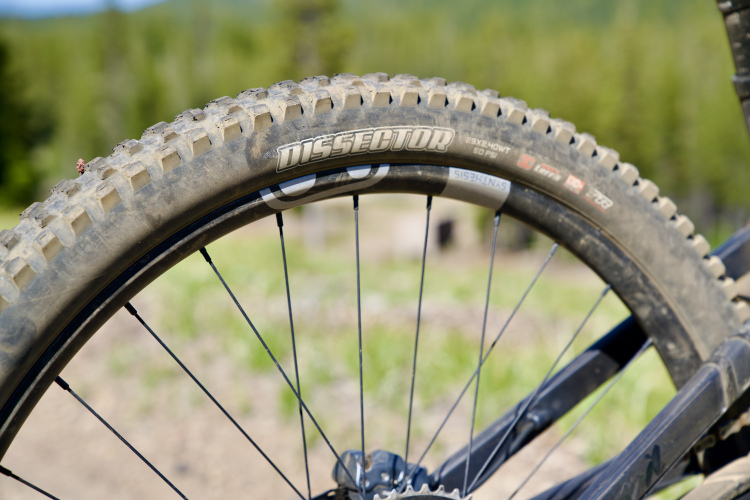
The first part of the descent is similar to the climb on Old Toll Road: rocky and wide. This section didn’t seem to get as much travel as the Toll Road, as there was plenty of leaf and stick litter covering the trail. Soon the trail narrowed, and the rock content increased. Having a burly trail bike and stout tires helped here.
Heartbreak Ridge will throw a little bit of everything at you. There are steep chutes, big rocks, little rocks, loose rocks, roots, and tight switchbacks. It takes a long, tough descent to make my hands hurt, and this certainly qualified. I stopped a couple times on the way down to shake them out. I haven’t had to do that during a downhill since my last trip to Colorado!
In the second part of the descent, there are a couple of very steep sections (around 50 seconds) and some long, straight shots:
The third part of the descent has tons of off-camber roots and tight switchbacks:
At 16 miles in, the trail will “T” into Star Gap, which is about 5 miles from the turnoff from the Toll Road. Take a right onto Star Gap and continue to hold on, because the descending isn’t over. You’ve got another rowdy mile of switchbacks and rocks.
Be careful at the bottom of Star Gap. There’s a very technical, steep section with huge rocks and roots. The trail is wide here, and you’ll be coming in hot, so it’s not clear which line to pick. Staying left is the safest route. Should you choose to ride the right side, be prepared to lift your front wheel and lean back. Otherwise, you may end up on your head. Since the ride is almost over, this is a good place to regroup and maybe catch a photo of your buddies wiping out on the rocks.
There is just a touch more doubletrack before you get spit out onto Graphite Road. Hang a left for about a quarter mile until Graphite joins Mill Creek Road. Go right and continue to follow Mill Creek south. There are a couple of punchy climbs on the gravel road, but nothing too long. You’ll get great views of the creek on your left as you spin your way the 4.5 miles back to the car.
Like most rides in Pisgah, the overall mileage (22) doesn’t tell the whole story. As Kurt says, it’s better to think of rides here in terms of hours instead of miles. At a relaxed pace, it was a long day in the saddle with 4 hours of ride time and 5.5 hours of elapsed time. Kurt said that this is his favorite ride in Pisgah, and I can see why. After getting through the initial steep road climb and brief hike-a-bike up Rattlesnake, the Old Toll Road is 95%+ ridable… apart from the few random ice patches we found, of course. The descent down Heartbreak Ridge is phenomenal and can go toe-to-toe with just about any trail, anywhere.
For post ride eats and libations, we headed to Ole’s Guacamoles in nearby Black Mountain. The food was delicious, the portions were huge, and the beer was cold–a fitting end to a great ride. Be sure to check out their extensive options at their salsa bar as well. If Mexican food isn’t your thing, Black Mountain has plenty of other choices from pizza to German to Thai.
The trails around Brevard, NC, tend to garner most of the coverage in mountain bike magazines and websites, and for good reason. They are rugged, tough, remote, and seemingly endless. But if you’ve ridden in Brevard before and are looking to mix it up, I would highly recommend checking out this loop. Ridgecrest, where the ride starts, is only about an hour’s drive from Brevard, so you could easily work it into your riding plans if you’re already in the area.


3 Comments
Apr 14, 2016
Mar 11, 2016
Mar 4, 2016