The trail is about equally doubletrack and singletrack. The climbs are long and very rocky but there are no switchbacks. This is a popular hiking area. Please be nice to the hikers especially on the Raindow Way trail. It is the only trail open to bikers in Montreat, so we don't want it to be closed to bikes. Once you get to the Old Toll Road, almost any trail to the left is off limits to bikes. It is a beautiful area and a great place to ride.
 3
3
Great trail, good views. Tough climb and rewarding descents.
| ThankNote that this is a review for the entire ride that the topo map shows. This includes riding down Heartbreak Ridge.
The Old Toll Road starts out really steep, but the grade eventually mellows. However, it does get much rockier the higher you go. Most of the trail is rideable though.
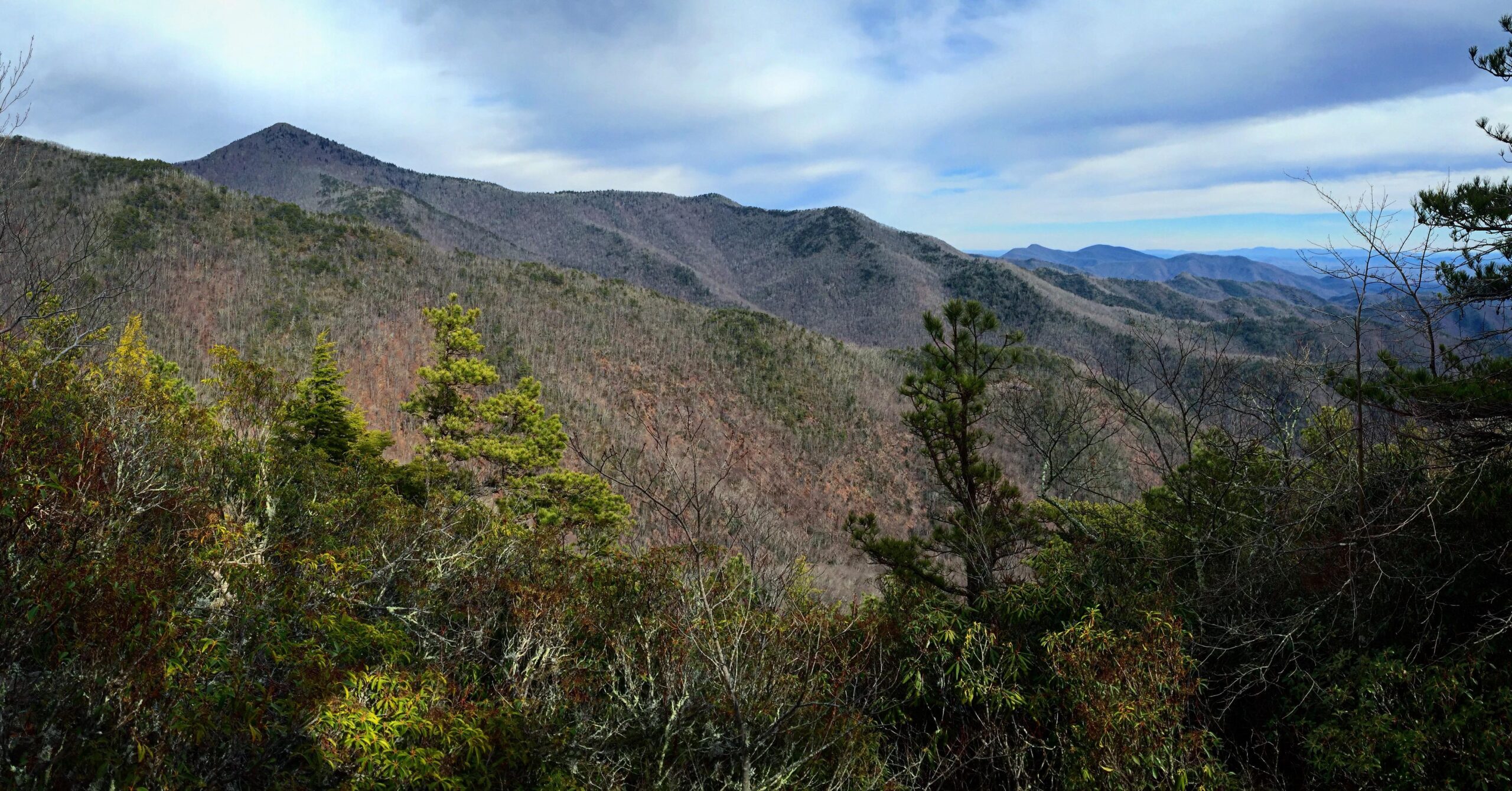
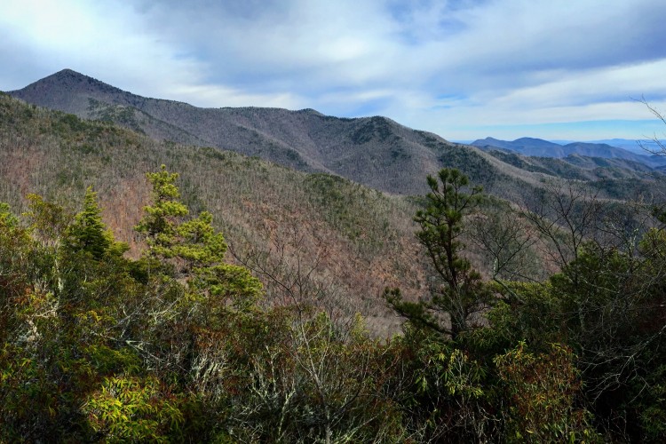
There are great views on the way up, especially in winter. Follow the Toll Road all the way up until you see an old camper and trailer. You can't miss them. The trail down Heartbreak begins to the right.
The descent down Heartbreak and then Star Gap makes it all worth it. It's around 7-8 miles of near continuous descending. Of course, this being NC, there are a couple of steep walls to get up and over on the way down.
The Toll Road is a much better way to get up to Heartbreak than Curtis Creek Road.
| ThankRecommend getting a trailmap before riding, found one on pg 2 of 2 at this link:
www.montreat.org/file_download/749
I rode out on the Rainbow Road(Orange Trail Markers) trail. Most of the trail that I rode was doubletrack somewhat boring and more suited to trailrunning or maybe to build endurance. There are some sections which you will have to step off and hike it. There are trail blazes out there, but without the map they don't help much. There are also many trails that are marked as off limits to bikes. If Kitsuma is closed, this is about the closest option. The one plus to this trail network were there were some great views from the trail.
| Thank