

Editor’s Note: “Over a Beer” is a regular column written by Greg Heil. While Greg is the Editor in Chief for Singletracks.com, any opinions expressed in this column are his alone and do not necessarily represent the opinions of Singletracks.com.
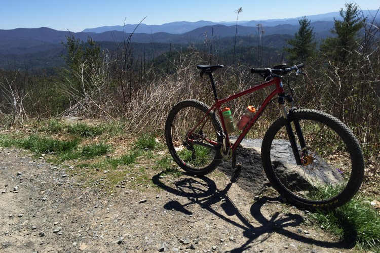
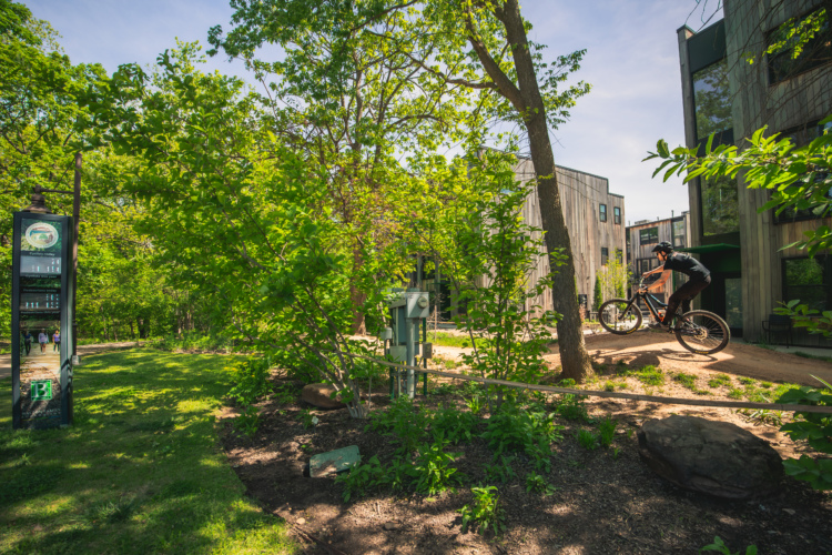
The mountain bike is a singular vehicle for exploration, allowing the rider to cover long distances in challenging terrain under his own power. Trails that are impassable to almost every motor vehicle, aside from the most skilled of trials motorcyclists, open up before the mountain biker. And despite some losses in access, the web of singletrack available to explore seems to keep expanding. Or at least, so we hope.
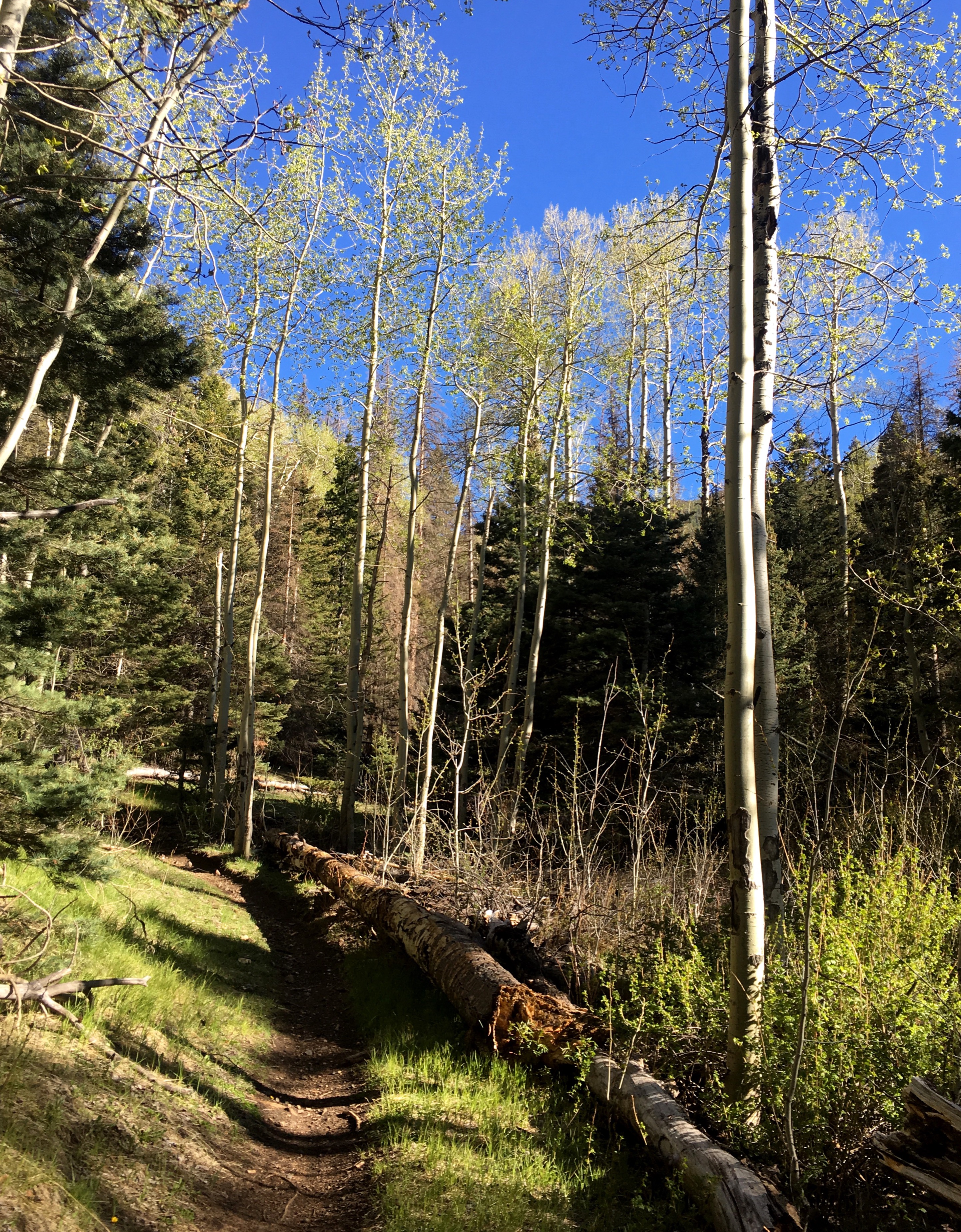
If there’s one part of mountain biking that has kept me hooked, addicted, and thirsting for more after well over a decade in this sport, it’s the ability to explore new places. While I am always seeking out new trails to ride, I thankfully don’t have to travel too far to find new tracks to explore. A little creativity and the willingness to get lost yields countless bits of forgotten singletrack, lonely doubletrack roads, and the occasional buffed out cow trail.
[see_also id=”216092″][/see_also]
Strava Heatmaps combine my obsession with exploration and my love of pouring over maps. I’ve written about my love of the Strava Heatmaps before, but the only heatmap that I look at regularly is my all-time map. I have a touch of Strava OCD in that I want to see all the little lines on my map connect, so I’m planning absurd trips, such as lengthy gravel road bikepacks from my house to Crested Butte, and from Salida to Colorado Springs. All just so I can connect different zones on my map. Drawing a light blue all-dirt line up to Breckenridge is going to be more challenging, yet it still seems doable.
[see_also id=”191596″][/see_also]
New-to-me singletrack is the holy grail, yet weather conditions, snow pack, and the amount of time that it takes to access certain zones means that inevitably, for even the most addicted explorer, I’ll end up riding some of the same trails over and over again. Yet curiously, exactly which trails I hit in any given year can vary wildly. Sometimes I’ll session one particular zone over and over again one year, and then maybe I won’t hit it at all for several years after that.
Since I’ve been a Strava addict the entire time I’ve lived in Salida, I decided to pull annual data to see the differences, from year-to-year, in the areas that I’ve ridden.
To make the maps even more interesting, I turned them into an animated GIF, above. While my first rides in Salida and Crested Butte took place before I had Strava, these maps show the vast majority of the riding I’ve done in Central Colorado. The respective slides are:
- 2012 – road trip through Salida, stopped for just one ride
- 2013 – moved to Salida in September
- 2014
- 2015
- 2016
- All-Time Strava data – including 5 months of riding in 2017
Some personal takeaways:
Here are a few of my own takeaways from my own maps. If you’re familiar with the trail systems in Salida or you’ve read about them here on Singletracks this might be interesting to you, but otherwise, feel free to skip on down to the next section
The changes from year to year were pretty astounding. Over the years my travels took me further and further afield, but curiously some trails that I thought I had ridden at least once a year I hadn’t actually ridden at all in some 12-month calendar periods.
- I didn’t ride Bear Creek at all in 2015, and only a couple of times in 2016. Yet I’ve already ridden it maybe a half-dozen times this spring!

- I didn’t ride Unkle Nazty or Upper Sand Dunes at all in 2015–a true oddity considering how much I frequent both the Arkansas Hills and Methodist Mountain trail systems. However, I simply didn’t ride very much in 2015 due to injuries–it was my lowest mileage year on the bike since I began using Strava.
- I didn’t ride the classic 35-mile Monarch Crest route in 2016. I did manage to ride the Crest enough to make the upper section one of the brightest lines on my map–I just didn’t descend Silver Creek to Rainbow even once.
- I didn’t pedal up the dirt road to the top of Cottonwood at all in 2016–yet I rode the singletrack down many times. Apparently I spent a ton of time shuttling, but I also rode Cottonwood as the tail end of an overnight bikepacking trip from the north.
Parting Thoughts
While riding new singletrack is (almost) always the best, what I’ve learned from looking at these maps and pedaling some trails this spring for the second time ever is that yes, new singletrack is the best–but you could be doing yourself a massive disservice by disregarding a trail that you’ve ridden before but haven’t pedaled in years.
Especially if you have fond memories of serpentine singletrack and challenging gnar, images that make you smile as you reminisce about rides long gone, maybe it’s time to go back and pedal that trail again. Who knows? You might have even more fun the second (or third or tenth) time around!


2 Comments
Jun 15, 2017
Jun 15, 2017