
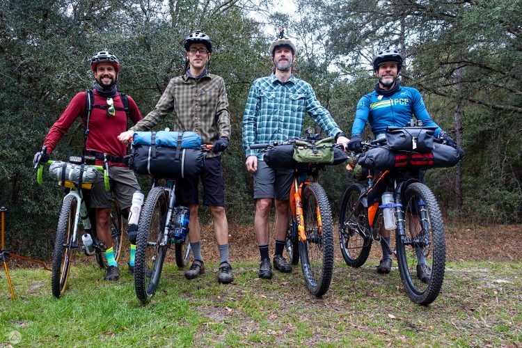
Having had such a stellar day on the first of our New Mexico shuttles on the Winsor Trail, Miniskibum and I were completely stoked for day two, especially since it would take place on the famed South Boundary Trail, considered by many to the best route in New Mexico and one of the best anywhere. But this would be no simple “drop us off and let us plummet back to town” mini adventure. In addition to being twice as long as the Winsor Trail, the South Boundary trail is more of a point-to-point shuttle than a purely downhill shuttle. While our route would supply us with over 5,000 vertical feet of descending, it would also challenge us with over 2,700 vertical feet of climbing, mostly at altitudes pushing the 10,000ft mark. Furthermore, the route is crisscrossed with a dozen or more doubletracks, singletracks, jeep trails, and ATV routes, many of which aren’t marked and don’t line up well with the treads on any map. So this ride would give us distance, climbing, descending, altitude, and be topped off with some serious gnar; in short, a healthy dose of everything that makes mountain biking great.

Taos lies just over an hour north of Santa Fe, the drive from Taos to the far end of the trail was just over another hour, including some very rough 4×4 roads, and we expected the ride to take about five hours, so asking the wife to abandon Santa Fe and blow the whole day playing taxi service seemed a bit much. We were pleased to find Really Fun Adventures, whose proprietor, Jeff, hooked us up with a shuttle from Taos. Over the course of the hour-plus drive, we shared tales of trails with Jeff and, more importantly, he clued us in to key junctions along the route where we would have to be very careful to avoid ending up miles off course. Armed with Jeff’s knowledge and greeted by perfect weather, we headed out from the east trailhead full of anticipation.

That anticipation would quickly be confronted by harsh reality as we made our way up the first big climb. After a quick climb opening up into a beautiful meadow, the trail then turned upward sharply and it took every last possible bit of aerobic capacity and determination we had to keep dancing up 800 vertical feet of steeply inclined, loose babyheads. Less than two miles into a 23-mile ride, I was already fatigued. Reaching the top of that first climb was a most welcome accomplishment.
While completing that first climb was momentous, it hardly meant the climbing was over. After a fun–but brief–descent, we were back at it, gearing down and pedaling up. Between the end of the first and second climbs, there were a few of those odd intersections and merges/departures from the myriad of doubletracks that crisscross the area. We knew that reaching Garcia Park would mean we were on the right track and, more interestingly, that we were about to begin the last big climb. Unfortunately, we emerged onto an unmarked fire road when we should have reached Garcia Park. It took us a bit of scouting out in multiple directions before we located Garcia Park and the singletrack which would take us the rest of the way up, and eventually into Taos.

After completing the last of the big climbs and reaching the maximum altitude of the day at close to 11,000 feet, the payoff began, starting with a couple miles of truly special singletrack descending the north-facing slope of the ridge, meaning you bob and weave, dropping altitude, through a cool, dark, dense, and quite lush by New Mexico standards, pine forest. But that’s just the beginning: this joyous descent is followed, after another brief climb, by six mils of the most gorgeous bench cut singletrack you may ever see. The trail is roughly level over most of this stretch, but hugs the contour of the ridge, making for a nice roller coaster ride. The pines begin to share space with aspens, further enhancing the scenic beauty and variety of this already stellar ride.

When the bench cut ends, the real fun begins, especially if you came prepared with a good dose of suspension and nerve. The last leg of this trail drops a full 2,100 vertical feet in three and a half mile, and it doesn’t do so smoothly. In addition to the relentless grade, this plummet smacks the rider with ruts, loose rock, powdery corners, and oddly-shaped rock ledges accelerating the altitude loss. Every time you think you can open it up, another technical goody reminds you to keep it in check and pay attention–which can be hard to do as your eyes are now drawn to the endless view of the Taos valley two thousand feet below and the far-reaching northern New Mexico high desert beyond. I would love to spend some real time here so I could really get to know the trail and be able to keep the fingers off the brake levers a bit more on this absolutely supreme descent. There are a couple intersections to navigate in the last mile, so that may break the flow of a first time South Boundary rider, but it didn’t even begin to wipe the smile off our faces. What a fantastic way to wrap up an epic ride!

If you have occasion to hit up Taos, but don’t have the opportunity or desire to shuttle, you can still enjoy some of the benefits of the South Boundary trail. The Ojitos loop will take you up doubletrack to the start of that last, steepest bit of the plummet. You won’t get all that gorgeous bench cut through the forest, but you will get (after some very strenuous climbing) one of the longest, gnarliest descents the continent has to offer. For those who don’t mind even more climbing and are willing to brave a few miles of narrow highway followed by a few more miles of steep fire road, you can make your way all the way to Garcia Park before meeting the South Boundary trail on a very strenuous 39-mile loop.

After the ride, there’s no shortage of great opportunities to fuel up in Taos. Hit up the unpretentious and reasonably priced Taos Diner II for superlative Chile Rellenos… and they have good standard diner fare if anyone in your group doesn’t want Mexican food. For something a little more upscale and unique, For the full Mexican menu where you can’t go wrong, make a run at La Cueva. If you’re looking for something more upscale, the Mexican American gourmet fusion at El Meze is hard to beat.


1 Comments
Oct 9, 2014