

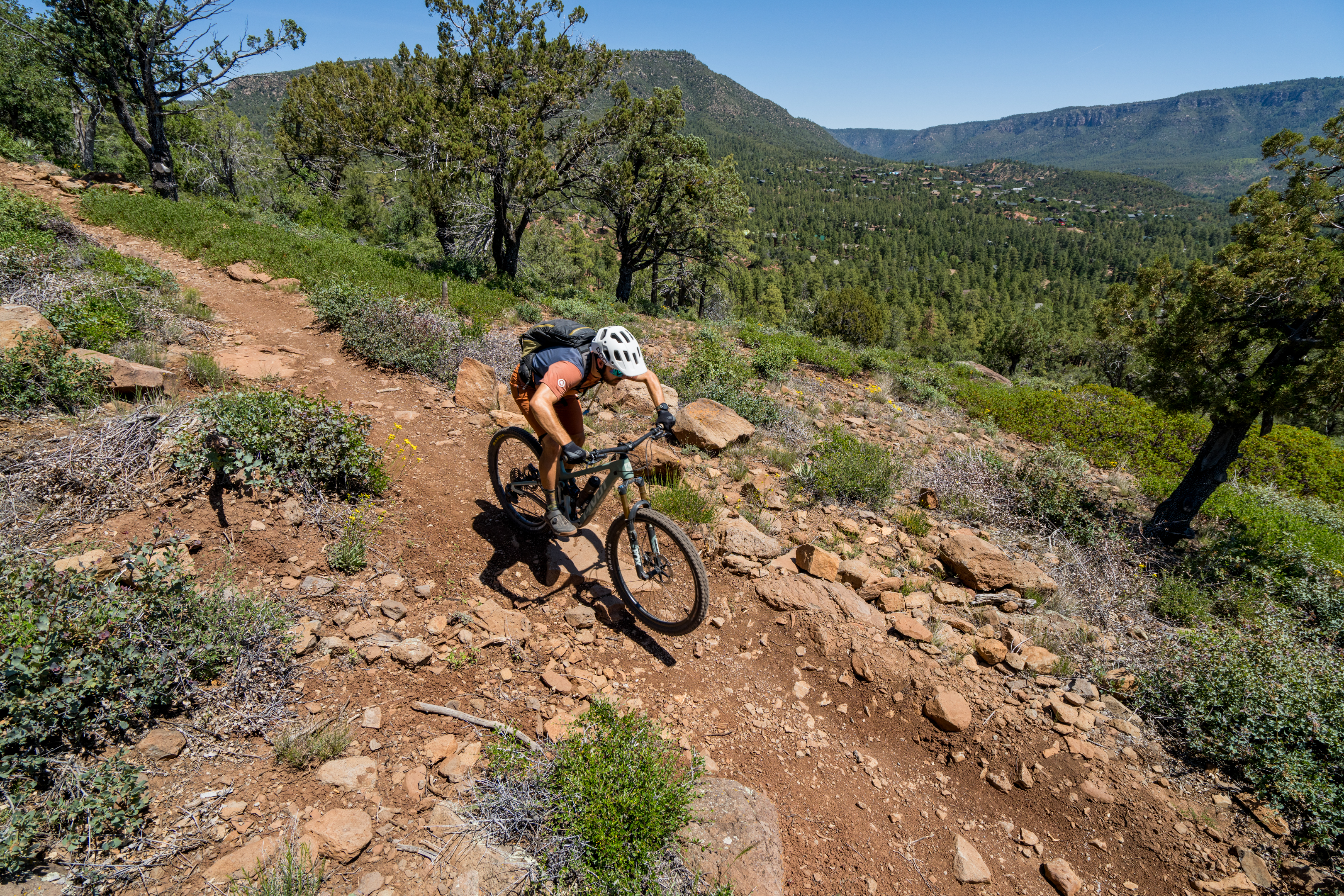
Arizona is chock-full of world-class mountain bike destinations, but there’s a new singletrack hotspot on the rise that you probably haven’t heard of: the Town of Payson.
Located just over an hour’s drive northeast of the Phoenix metro area, the town of 17,000 people rests at an elevation of 5,000 feet above sea level, with the nearby Mogollon Rim soaring to over 8,000. These high elevations (for Arizona) provide a welcome respite from the brutal heat in the valley. And now, with miles upon miles of fresh, modern mountain bike trails available, Payson beckons riders looking for an escape from the heat and a new adventure.
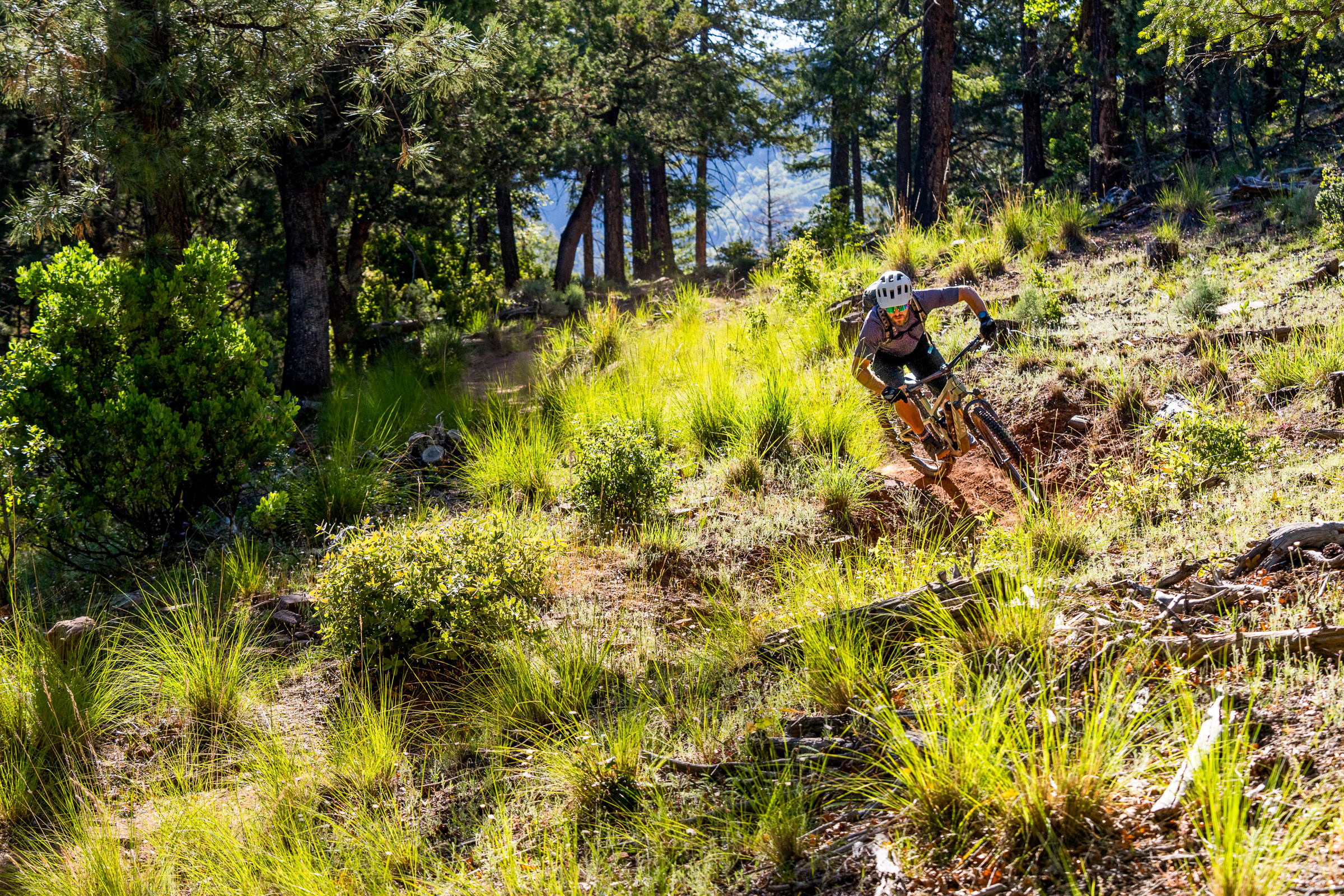
The greater region, which encompasses the smaller towns of Pine and Strawberry, is known as “Rim Country,” and it’s rich with public lands. The Tonto National Forest surrounds the towns on all sides with a surprisingly diverse landscape.
“What’s unique about the riding in our area is […] that we’ve got the slabs, and then we’ve got the dense forests. You feel like you’re in the Pacific Northwest in some of the spots,” said Trevor Creighton, President of the Rim Country Mountain Bike Association (RCMBA). “And we have all the water crossings, and then we have the views [of] the manzanitas and the Granite Dells, the actual boulders.”
“Not only the scenery, but then it’s the riding style, too,” he continued. “So sometimes you’re on loose granite, and then sometimes you’ve got kind of loamy dirt. And then you’re on slabs. And then you’re having to hike your bike across a river to get to continue with the trail. It’s so good!”
If you only have three days to ride in Payson, this is your itinerary for hitting all the can’t-miss trails.
Day 1: Highline Trail
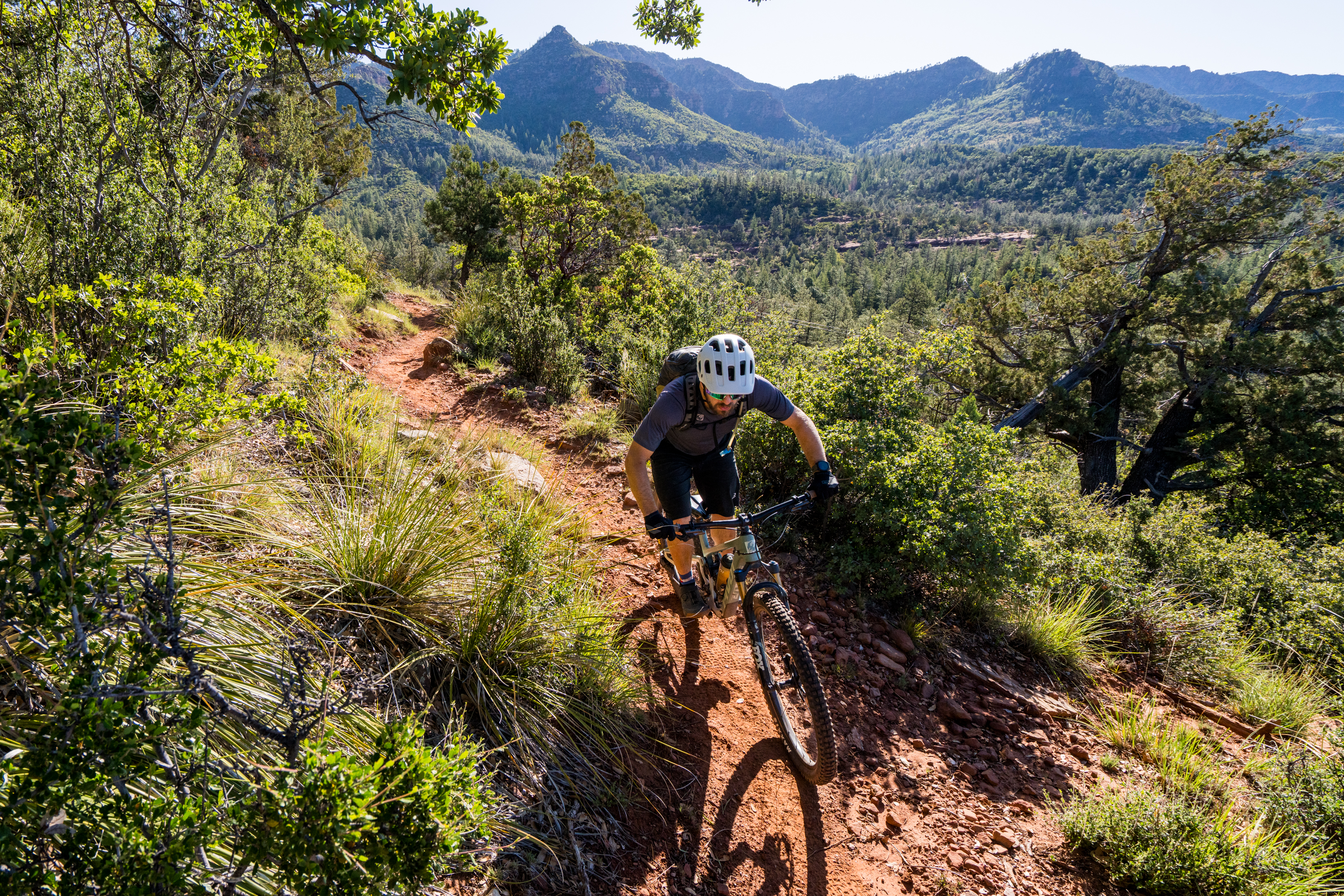
The Highline Trail is the crown jewel of Payson mountain biking. This epic 63-mile point-to-point backcountry trail recently saw a $1 million investment to reroute the singletrack onto a modern, sustainable alignment, creating an eminently rideable and highly entertaining intermediate-level backcountry adventure.
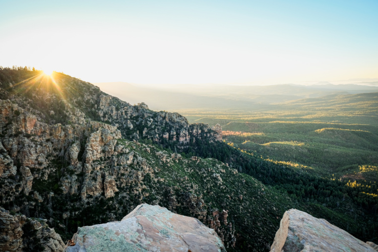
The Highline traverses a rugged, remote wilderness that hides an astonishingly diverse landscape. The jagged Mogollon Rim soars above the trail, with vaulted rock outcroppings, soaring stone towers, and forested ridges in between. But because the singletrack runs below the rim, the landscape is shockingly lush for Arizona.
Numerous springs burst forth from the broken rocks on the side of the mountain, feeding a bevy of year-round streams, which are almost unheard of in Arizona. These “springs” are more like waterfalls that shoot out of the fractured foot of the Colorado Plateau, nourishing abundant plant and animal life in a short span before the landscape transitions into arid desert and the elevation drops rapidly.
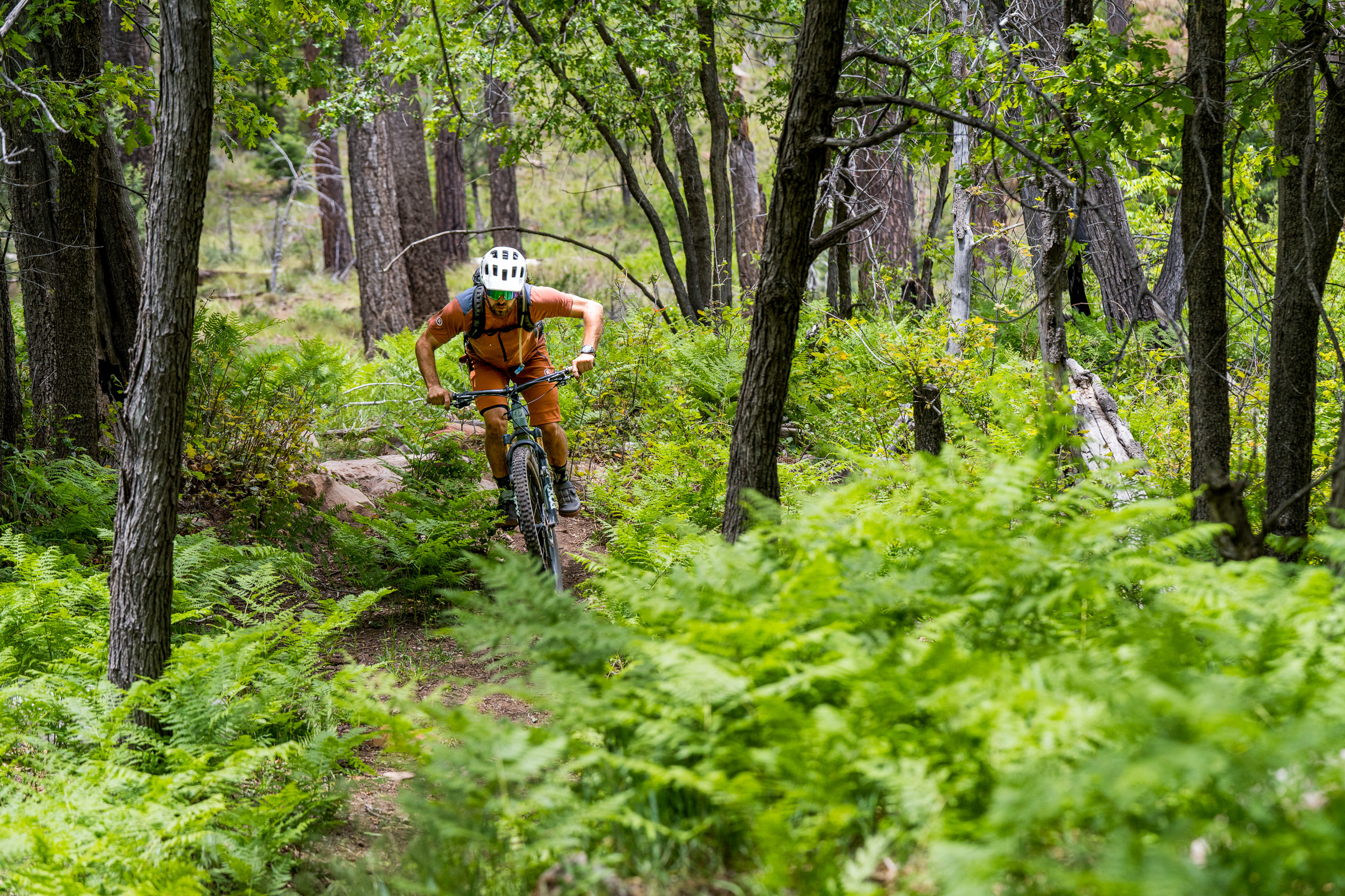
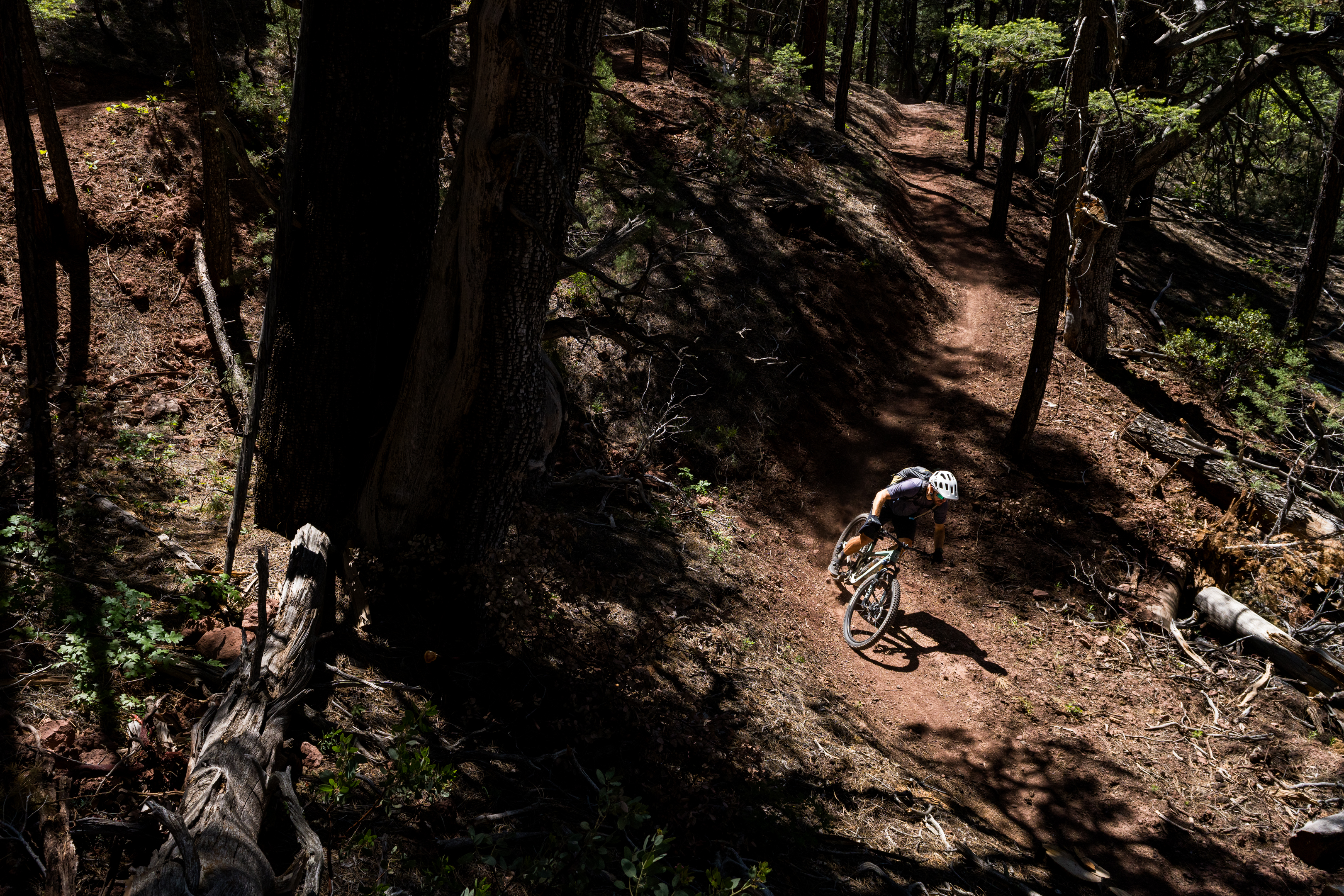
The trail climbs up and down, traversing this narrow corridor of verdant plant life. The forest is densest near the spring-fed streams, with a lush understory filled with ferns and towering deciduous trees. Where the trail climbs to cross a ridge, the terrain quickly turns arid, with deciduous trees replaced by ponderosa pines and gnarled alligator junipers — a species named for its unique bark, which resembles alligator scales.
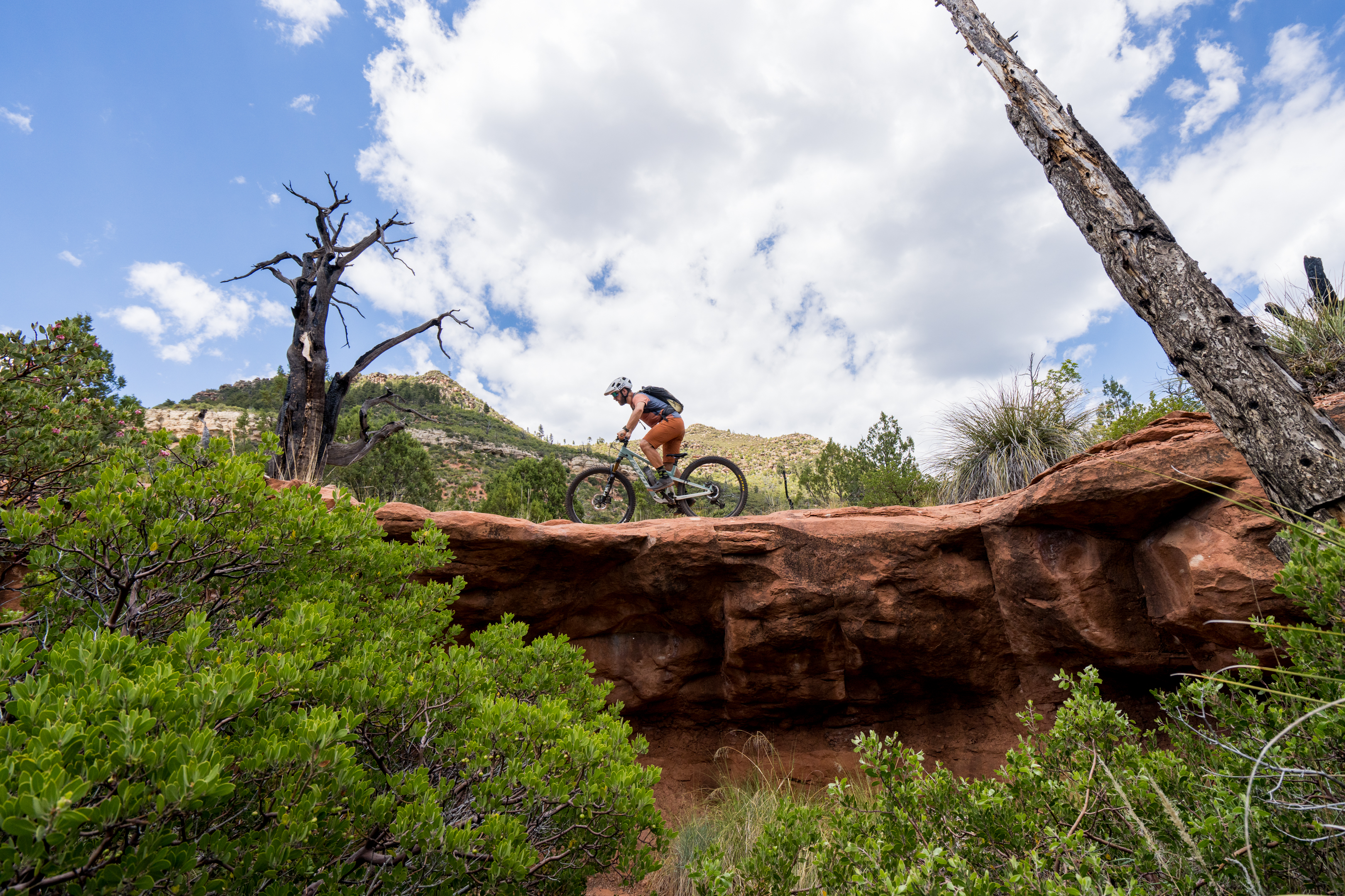
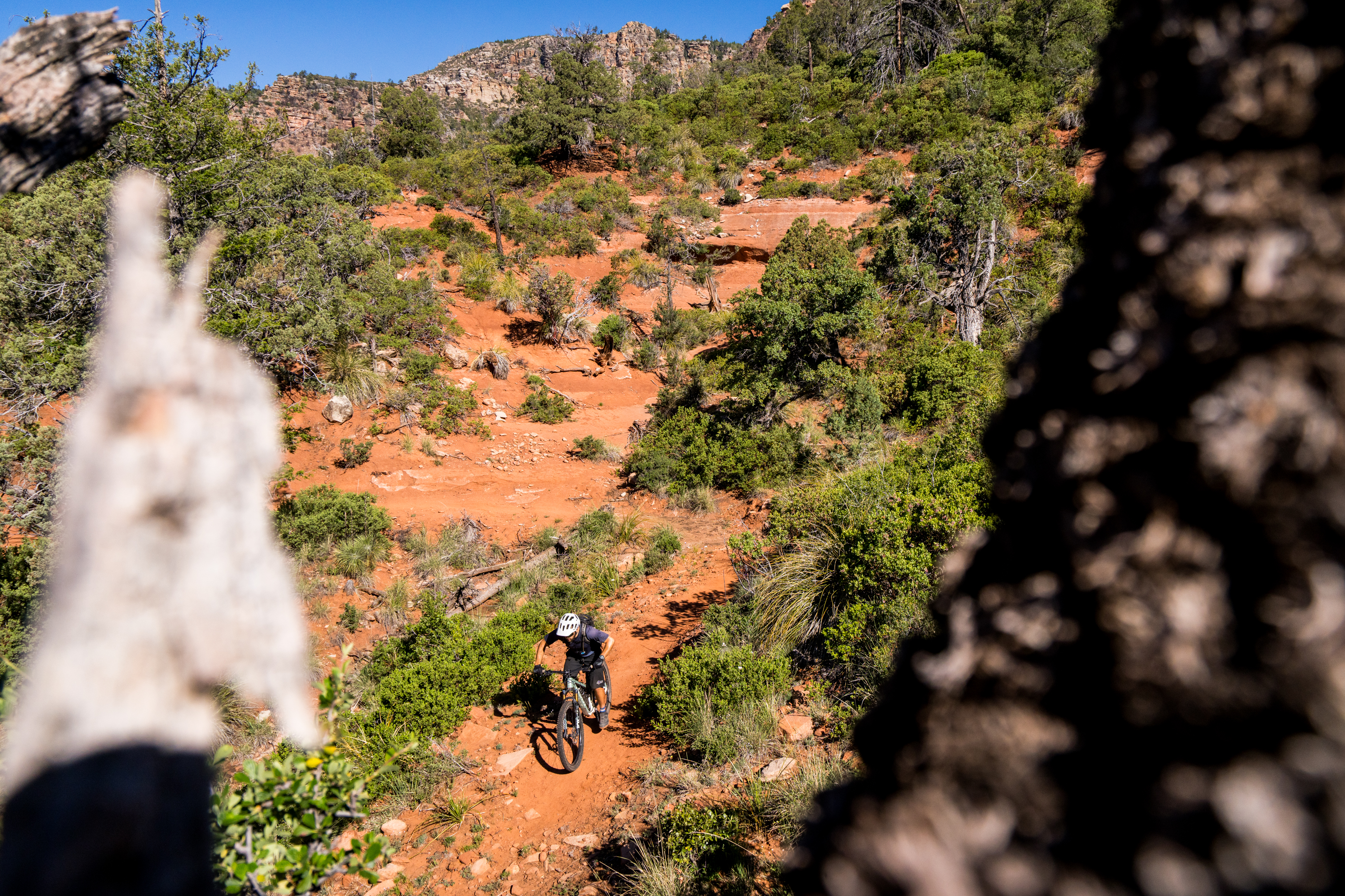
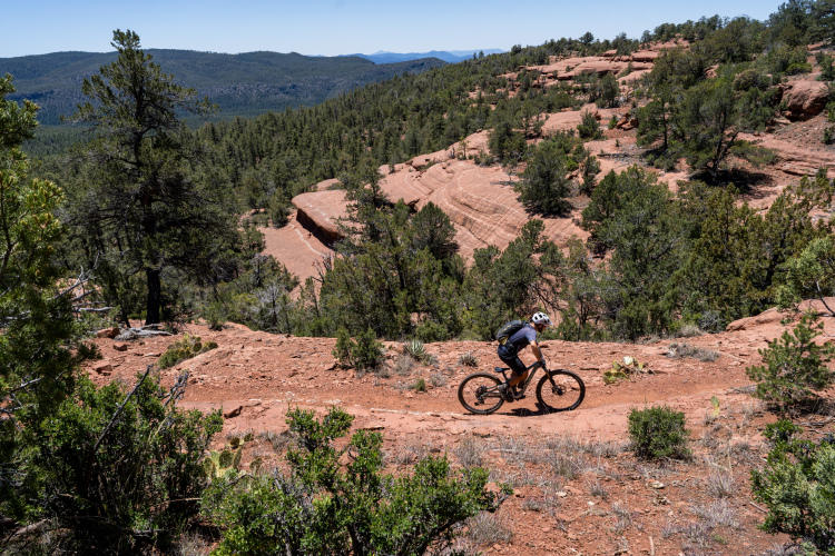
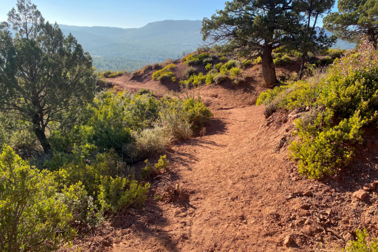
The soil and trail character shifts dramatically with the landscape, but the bulk of the trail tread is sandy with sandstone rocks. In the lush zones, the dirt gets darker, but unexpectedly, the dirt singletrack will transition sharply to red rock slabs.
Riding the entire trail makes for a fantastic bikepacking trip, or you can choose to hire Hermosa Tours to schlep your gear from section to section. If you’re looking for a day ride instead, there are three different options.
Choose your segment
The Highline Trail is divided into three segments of roughly 21 miles each: Gathering Waters, Inner Sanctum, and Geronimo’s Call. While they’re all roughly intermediate in difficulty, each one has a different flavor.
The first segment of the Highline Trail, when ridden in the mostly downhill direction from east to west, is Gathering Waters. This segment alternates between recently rerouted machine-built singletrack and steep, punchy, rock-strewn climbs and descents. While all of the Highline is a worthy trail, if you can only ride one of the three segments, I wouldn’t recommend this one.
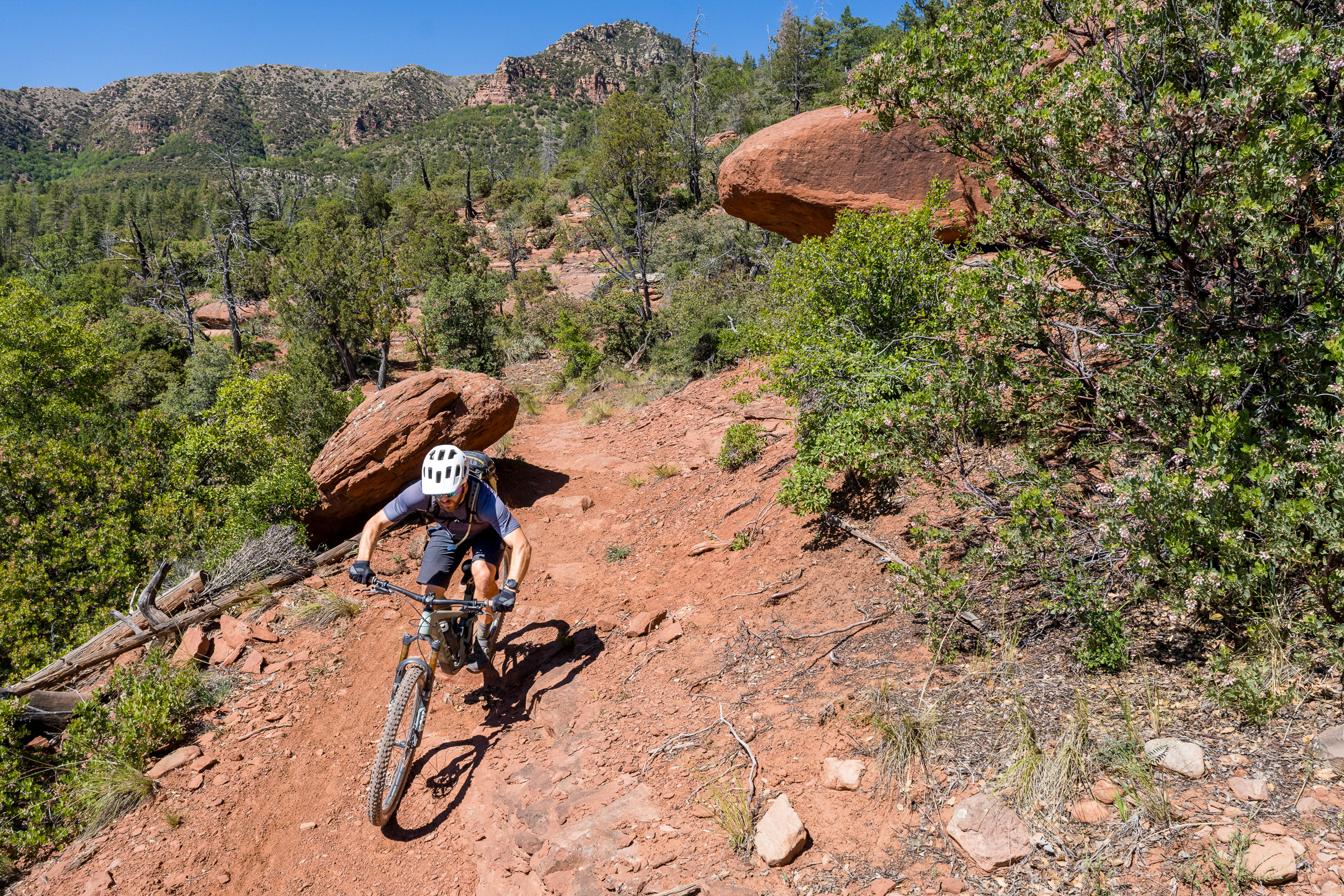
The most approachable of the Highline Trail segments is Inner Sanctum. This section begins on gorgeous Sedona-style red rock slabs. Once those slabs run out, the trail transitions to flowy, machine-built singletrack. The flowy Inner Sanctum trail undulates up and down, never too steep, but always swoopy, kinetic, and entertaining.
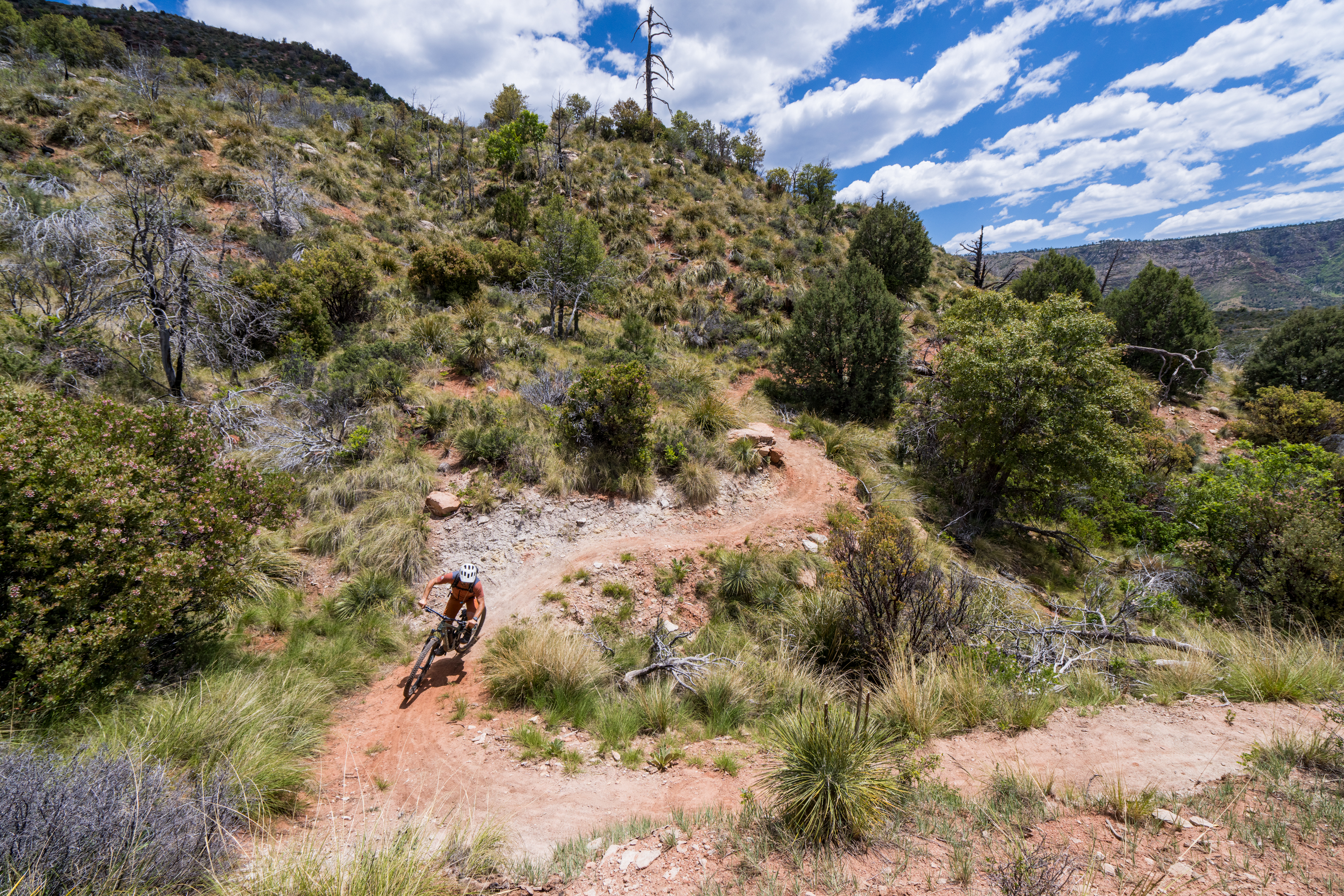
For the biggest climbs and descents, head to Geronimo’s Call. If you begin riding on the eastern end, the first descent nets about 1,000 vertical feet of loss and is immediately followed by an 800-foot climb over the next 6.8 miles. You’ll finish with a 900-foot descent to the Pine trailhead. Keep your eyes peeled for a couple of rocky features on Geronimo’s Call, one of which might exceed the intermediate difficulty rating (but it’s quite short).
Since Geronimo’s Call connects to the Pine Trailhead, this is a popular option for an out-and-back ride. However, if you want to ride any of the three segments of the trail as day-ride point-to-points, Hermosa Tours will begin offering day shuttles (in addition to their multi-day tour offering) in September 2026.
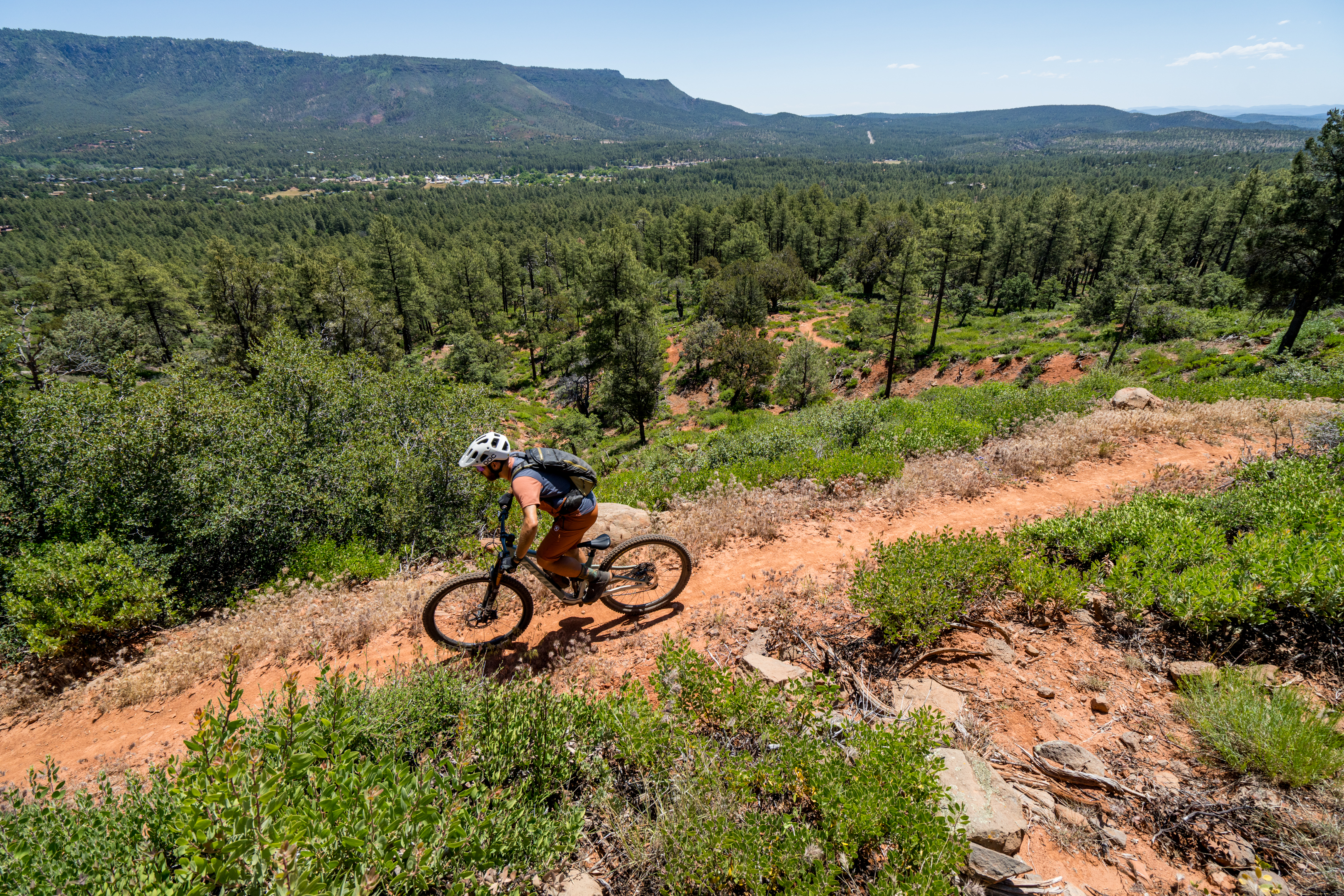
Day 2: Pine-Strawberry Loop
Admittedly, the Highline Trail can be logistically difficult to tackle. If you’re looking for a less complex loop ride experience, park at the Pine Trailhead for the Arizona Trail and pedal this 21-mile loop around the towns of Pine and Strawberry instead.
The loop begins with a grind straight up out of the Pine trailhead, ascending the flanks of the mountain looming over town via a rocky stretch of historic singletrack. While no single trail feature here breaks into black-diamond territory, the rocky onslaught requires constant engagement to negotiate. Eventually, you’ll reach a section of newer singletrack that’s a bit flowier.
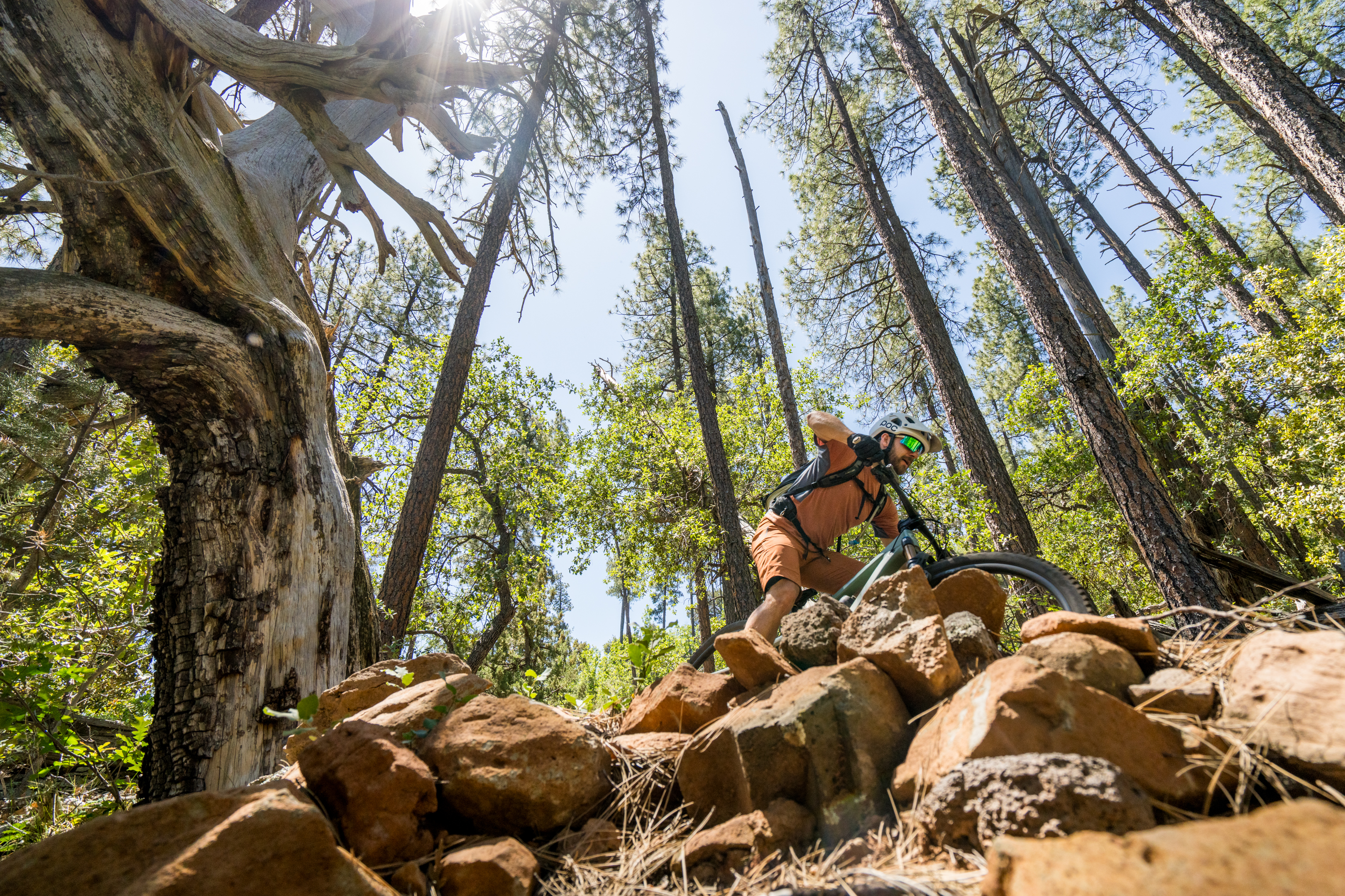
The loop mostly climbs to the northern end, where it crosses the highway. After the highway crossing, the quality of the trail ratchets up dramatically, with newer-built singletrack carved into the mountainside. Overhanging rock cliffs frame the trail, high-quality stonework lines the tread, and after sections of flowy benchcut, you’ll break out of the trees with panoramic views of the valley below.
The final downhill follows Two Ravens, a fresh trail that was just completed in July 2025. Because this is one of the smoothest sections of singletrack, it doesn’t offer much of interest for the advanced rider.
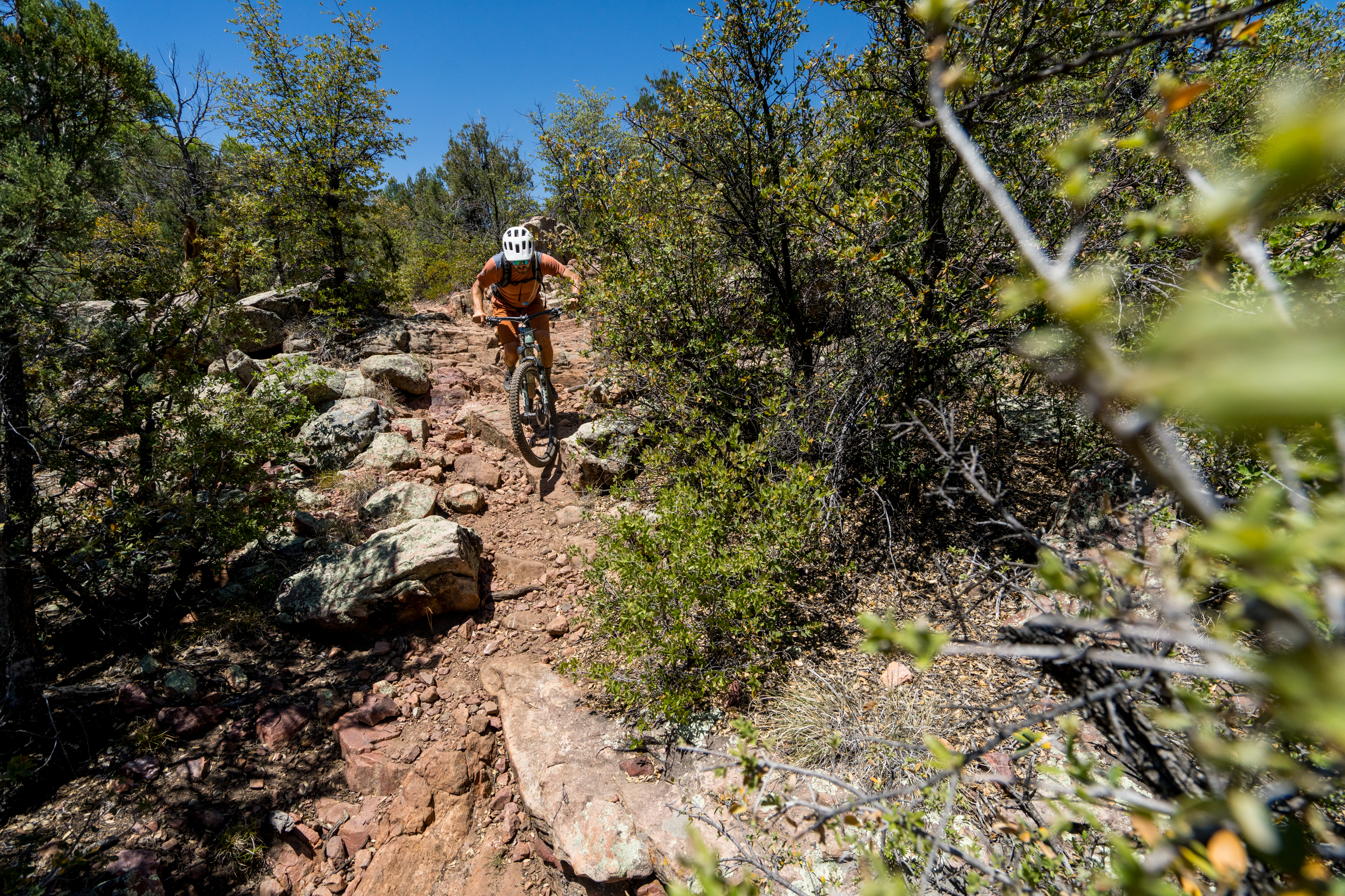
To complete the loop, you have to rejoin the Arizona Trail (AZT), which comes as a shock to the system after the butter-smooth singletrack on Two Ravens. A short babyhead-filled downhill on a narrow, overgrown track leads to the gnarliest rock features of the entire trip, two miles from the trailhead finish. Don’t worry: everyone will be forced to hike up a few of these sections, and they’re over quickly.
This extensive singletrack loop, complete with multiple access points from the nearby town, was pioneered by an incredible group of volunteers known as Pine Strawberry Fuel Reduction (PSFR). The group was formed over 20 years ago to build fire breaks around the perimeter of the two towns. And then, they turned to building singletrack.
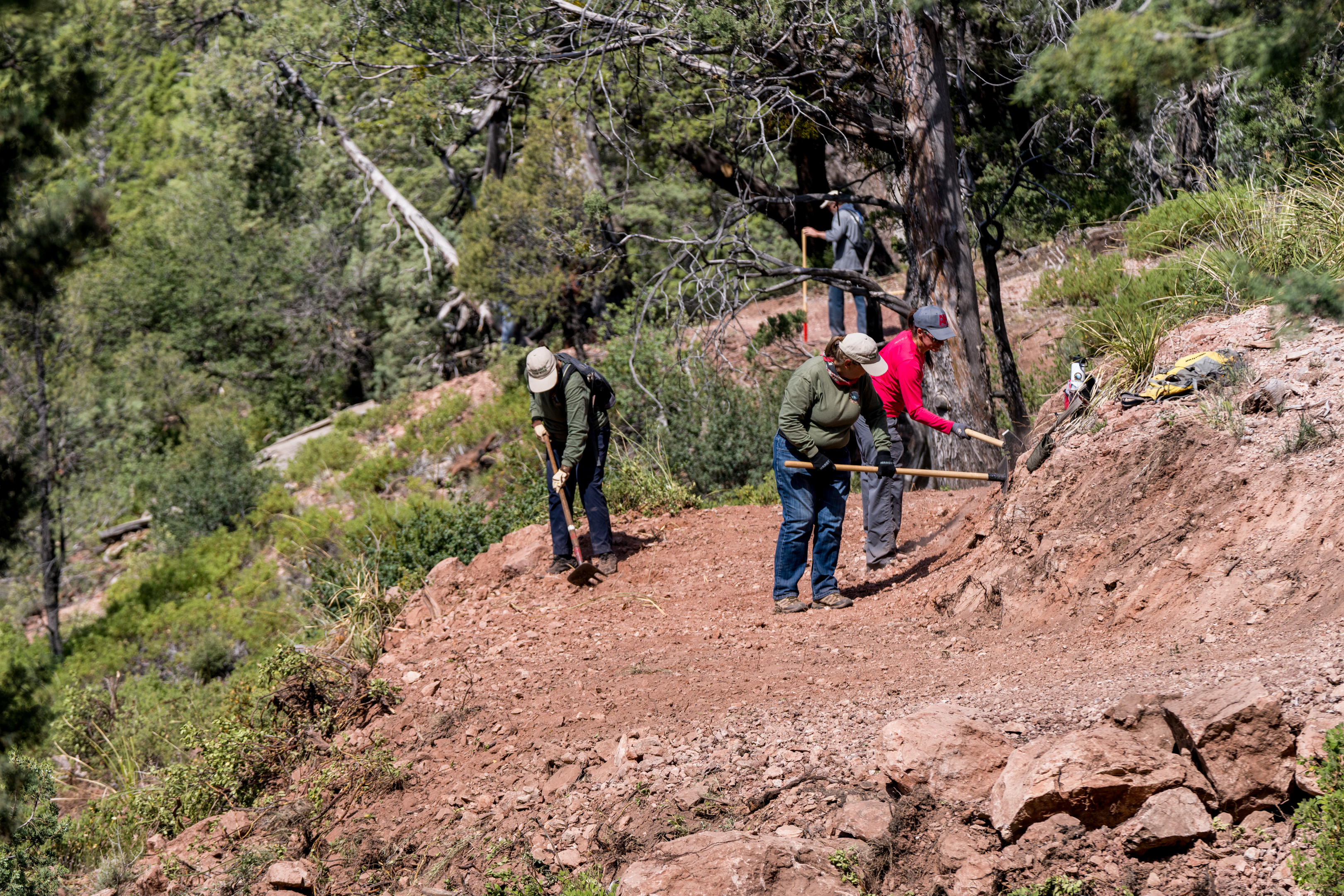
“The trails started early on, because the concept was, you really need people out in the forest,” said Michael Browning, Director of Grants for PSFR. “You need eyes in the forest, you need visitors. You need trails to make access.”
Today, the volunteer group, consisting mainly of local retirees, meets every Tuesday morning to build trail, and one Saturday every month. They average 20-25 people for every workday. “It attracts volunteers who just enjoy coming out to do physical work and getting instant reinforcement from seeing a beautiful trail that was just cut yesterday,” said Browning.
Afternoon: Tonto Natural Bridge State Park
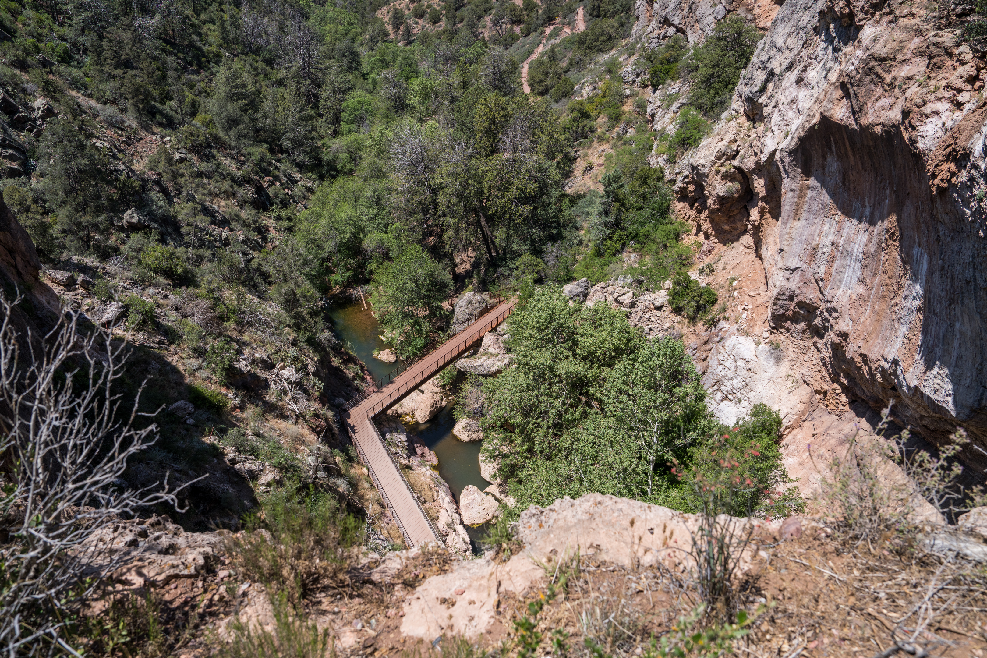
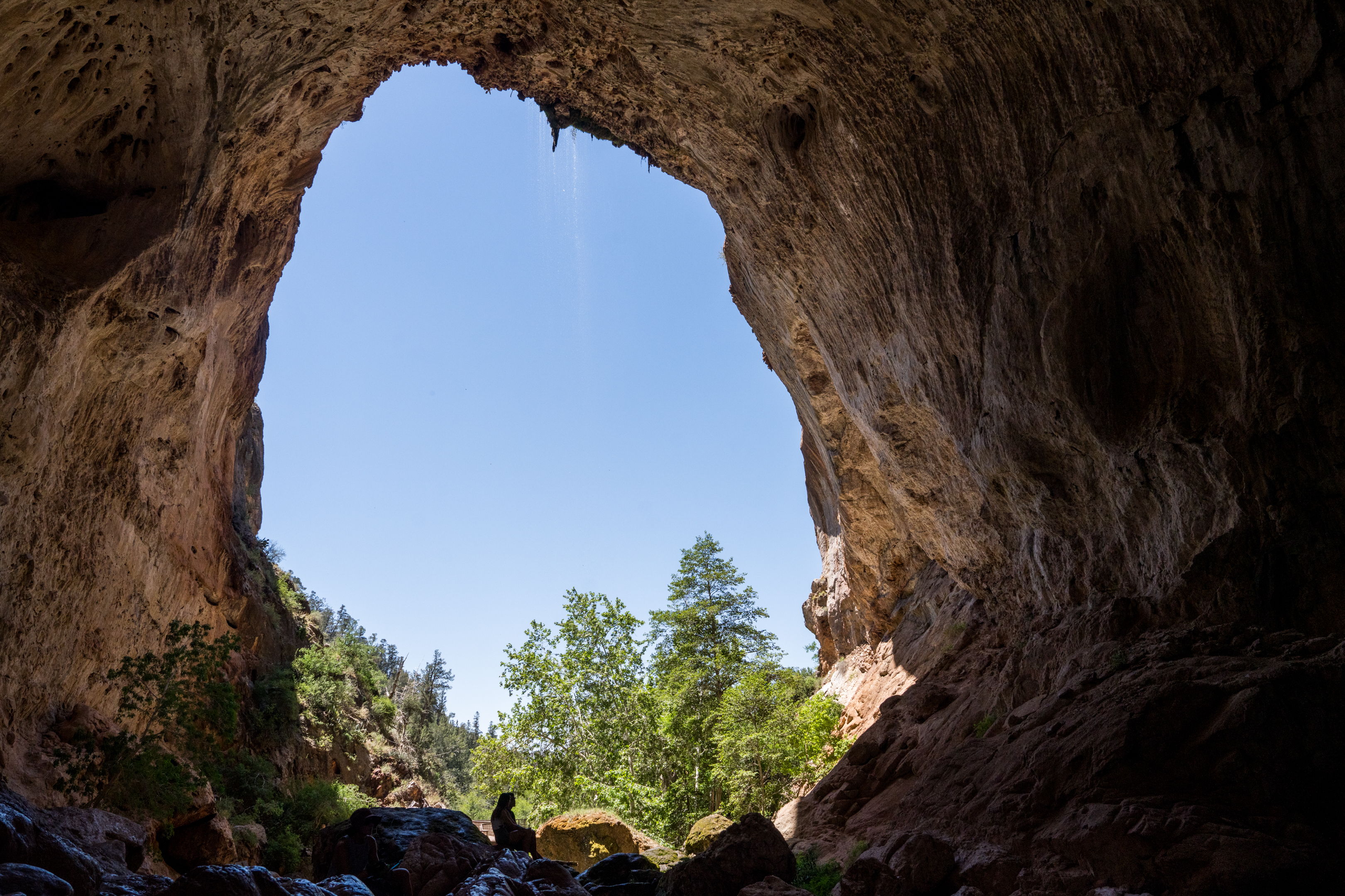
Nearby Tonto Natural Bridge State Park is a can’t-miss stop in the region. The state park is home to a massive natural bridge in the bottom of a steep-sided gorge. At first, you won’t realize that you’re actually standing on top of the bridge… until you walk to the edge and look down.
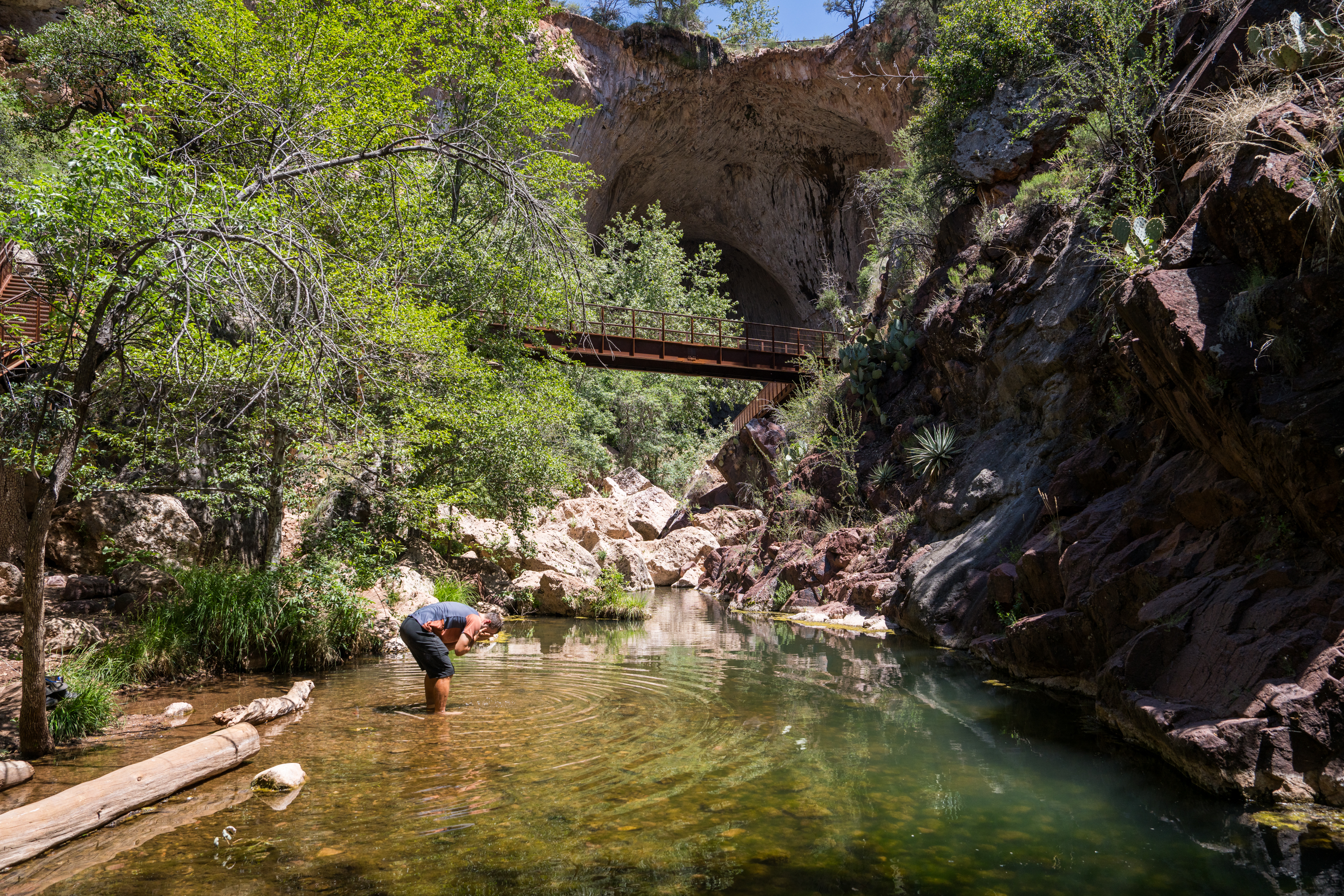
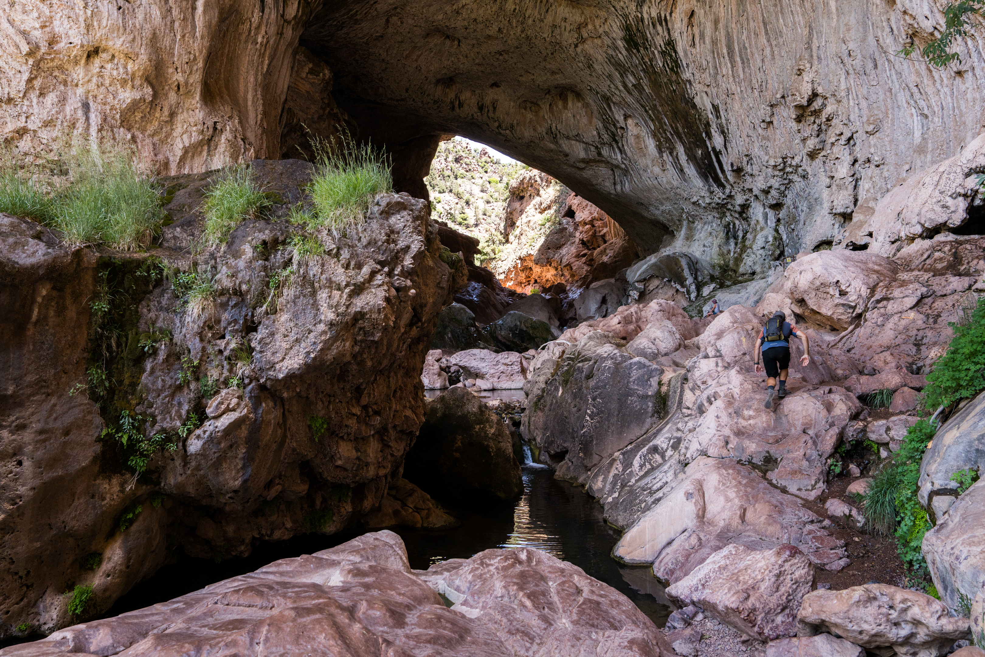
Hiking trails lead down either side of the bridge, providing the opportunity to gaze up at the awe-inspiring formation. The more adventurous can follow a signed route that winds beneath a small waterfall, along pools in the stream, and beneath the towering bridge itself, finally climbing up the other side. Fair warning: the rocks beneath the bridge are slippery and require four-point scrambling to negotiate.
Day 3: Granite Dells
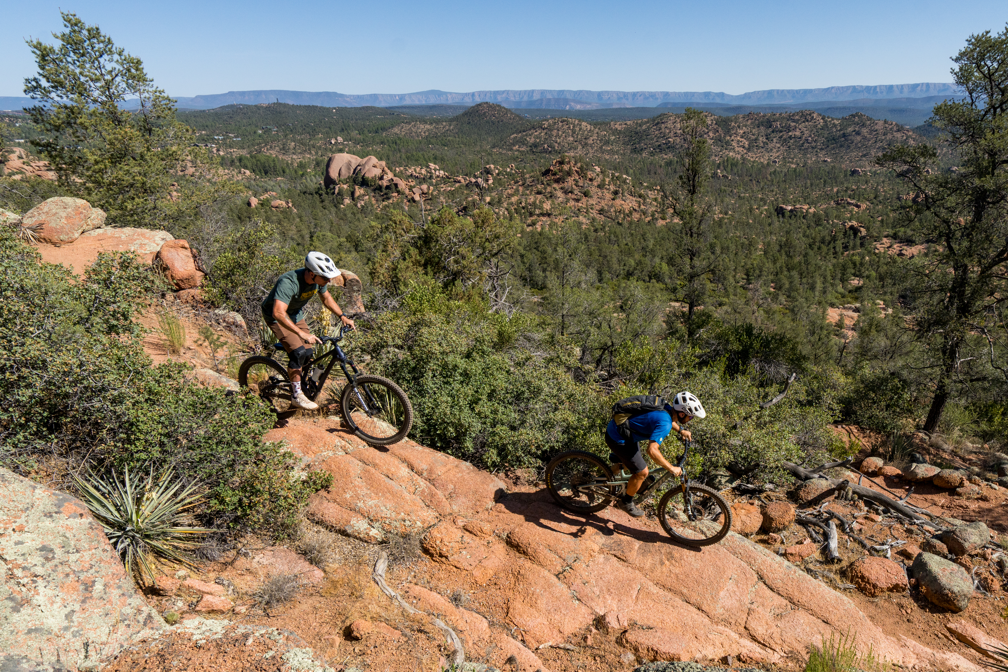
Granite Dells is Payson’s in-town trail system. Also known as “Boulders,” the trail system began life as a network of pirate trails, and eight miles of the singletrack were recently legalized. The trails are accessible from a few trailheads located in neighborhoods on the southeast corner of the town. Despite being so close to town, the singletrack is also located on national forest land, and it’s the most technical in the region.
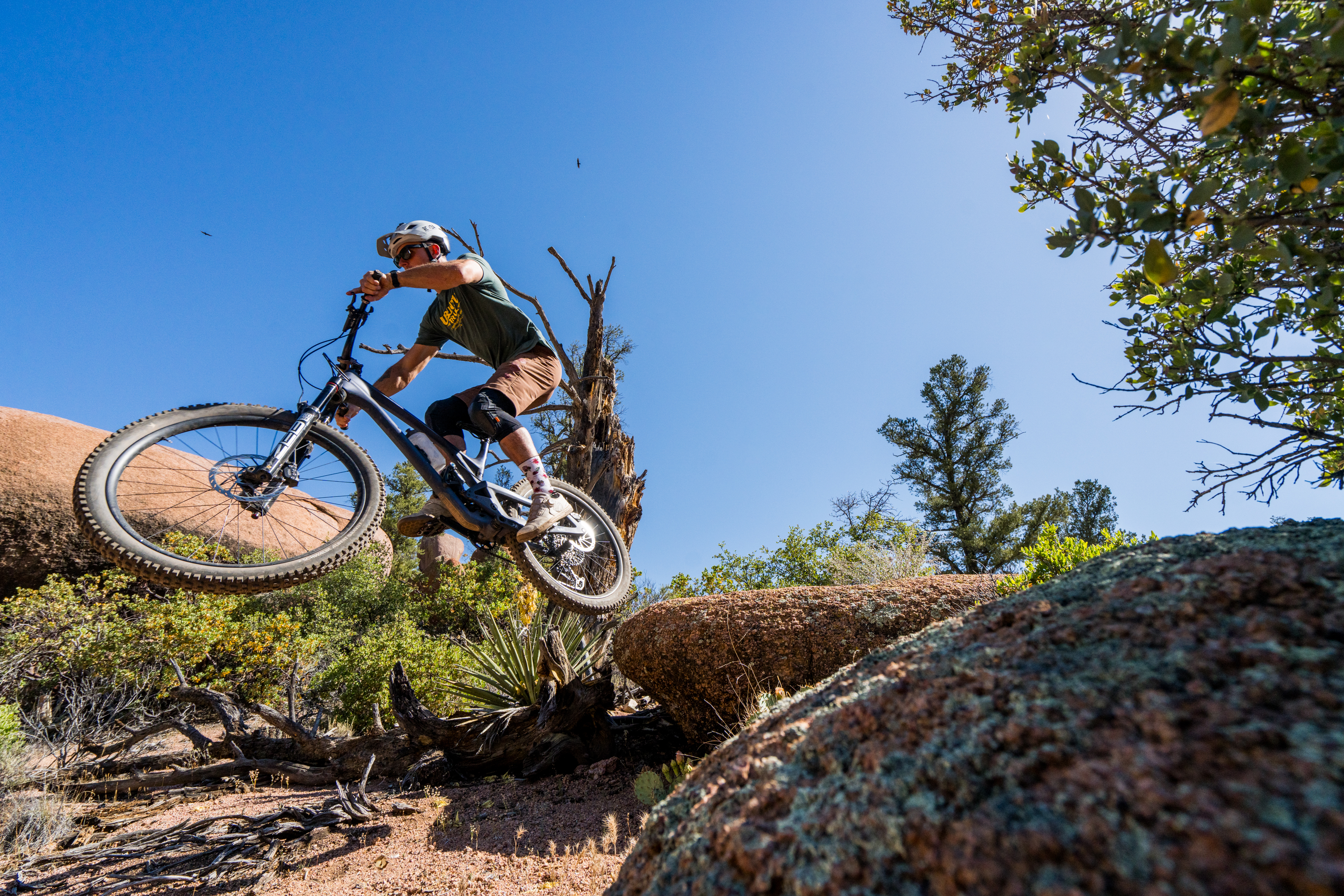
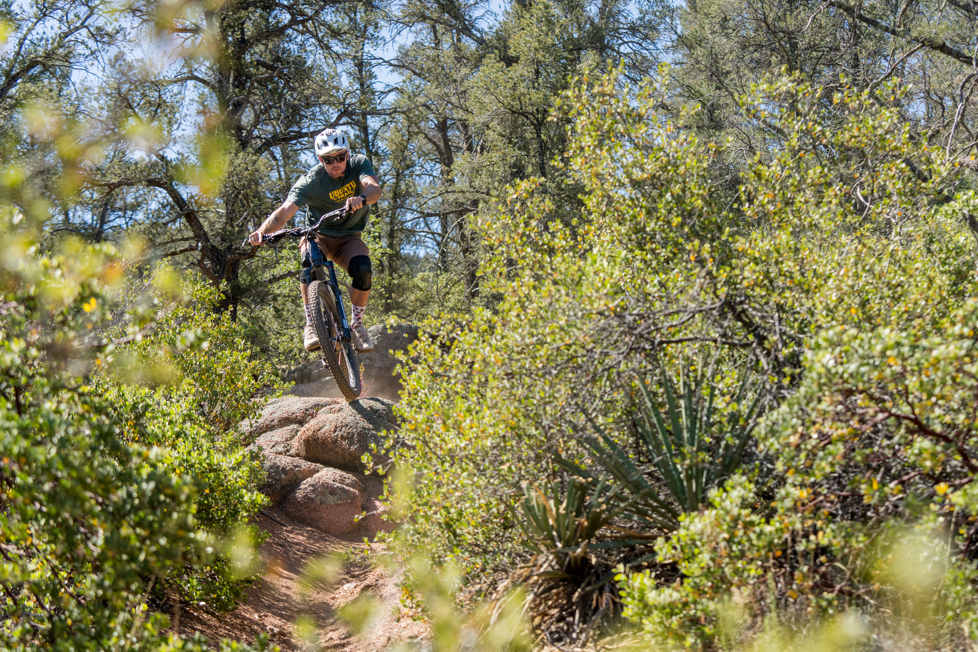
The trail system’s name comes from the granite boulders and rocky ridgelines rising above the neighborhoods. Granite boulder outcroppings create a visually stunning contrast to the towering ponderosa pines and scraggly junipers and provide entertaining rock gardens and techy granite slabs to rip. But the trails don’t just go downhill: this is very much an up-and-down network that demands technical proficiency while both climbing and descending. Following the fairly mellow XC riding of the first two days, this comes as a welcome change.
That said, all of the most technical features have ride-around options. In places, there are even separate trails running parallel to each other, such as one section of the Billy Goat trail. While these trails aren’t easy, they also aren’t the brutally-gnarly technical testpieces you’ll find in some other areas of Arizona. Expect a black-diamond ride experience, or a blue/black if you take the ride-arounds.
An upgrade to the Boulders, and new trails on the horizon
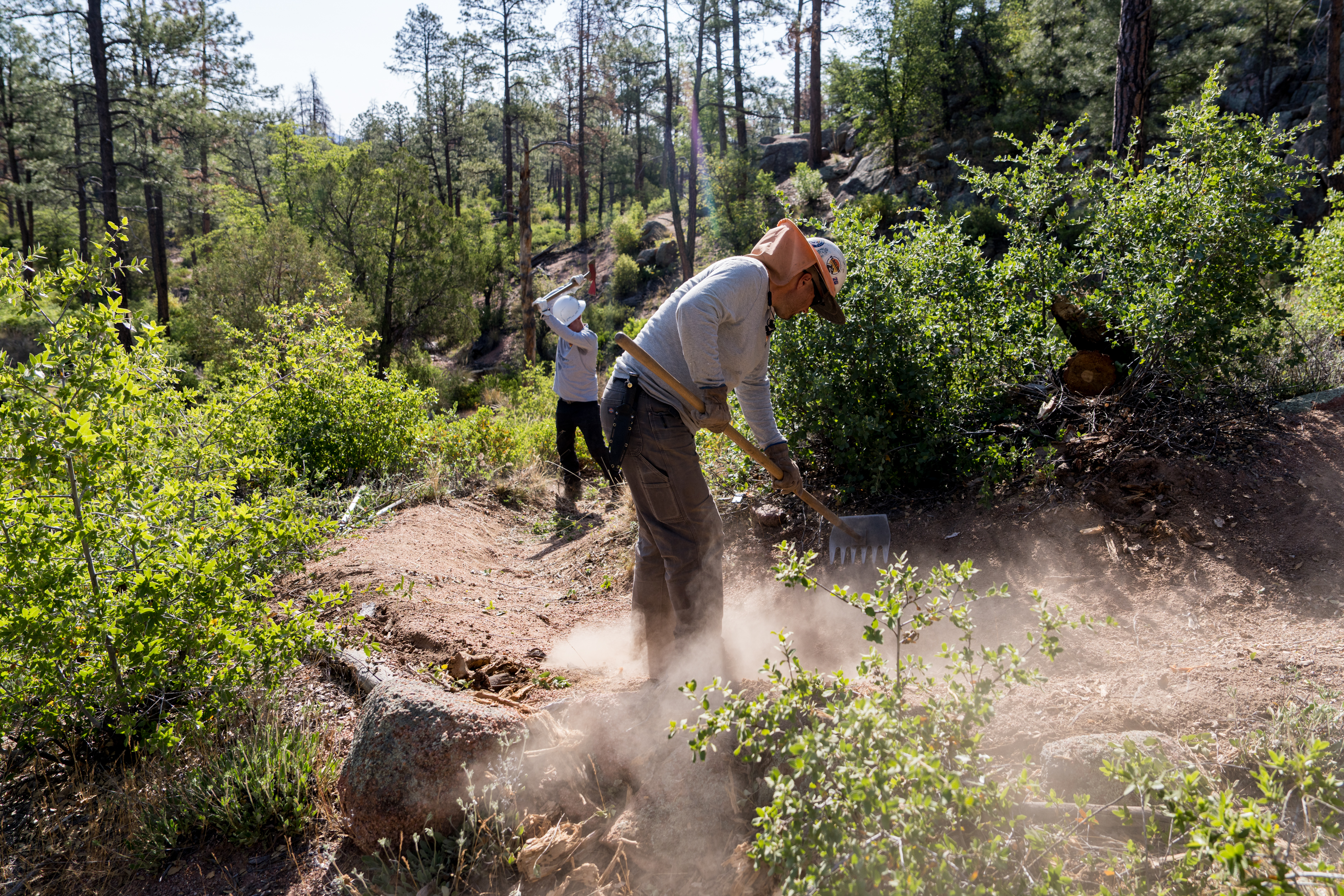
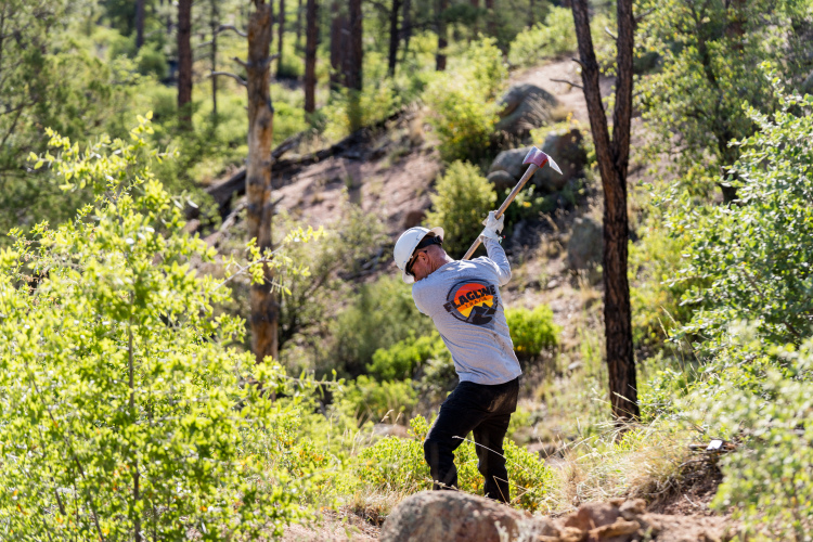
The current trail offerings in the Boulders area are just the beginning. In 2026, Flagline Trails will spend about 15 weeks maintaining and rehabilitating the existing trails. “We’re coming in, improving drainage, widening out the corridor by brushing,” said Matthew Roberts, Owner and Founder of Flagline, while working on the trails in May. They’re intentionally doing this work with hand tools rather than machines to maintain the existing character of the trails.
“One of our key areas of work is doing dry stone masonry on trails and building really cool shapes out of rock,” said Roberts. Because a few of the existing wooden bridges in the network weren’t engineered to Forest Service standards, Flagline will replace them with dry-stacked rock bridges. “We’re gonna get a high line system up there and drill and split some rocks, and fly some rocks through the air.”
In addition, they’ll be “doing stone pitching and armoring on the drainages” because the decomposing granite soil is so erosive.
Next, RCMBA is working to dramatically expand the trail system by adding 15 miles of new singletrack, eight of which have already been approved. The primary goals of this expansion are to add a true trailhead to reduce neighborhood congestion and build more accessible green trails in the valley below the boulders. Currently, there’s no true beginner trail in Payson, and RCMBA hopes to change that.
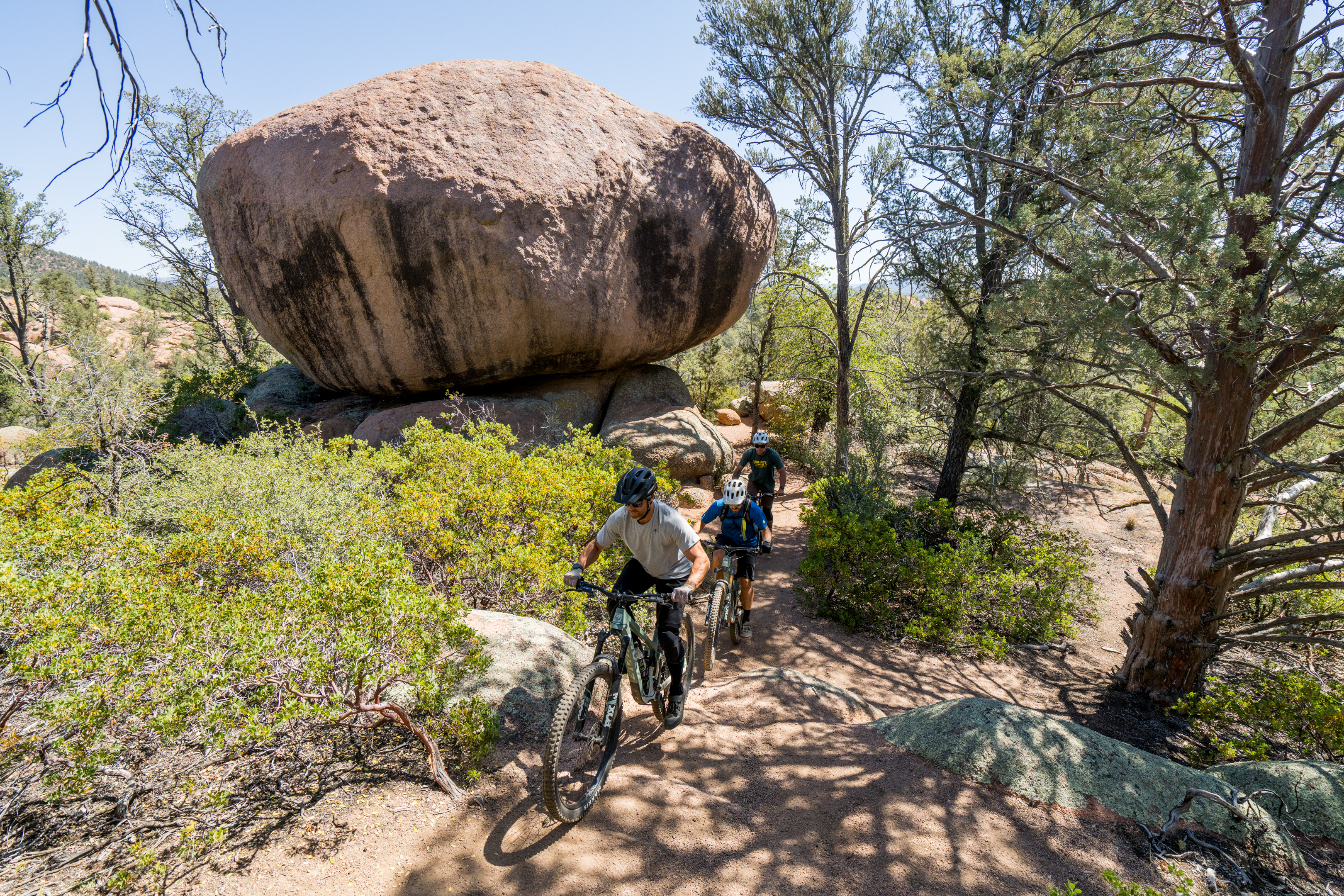
In phase two, Creighton said that RCMBA plans to build more technical trails to complement the trail system, too.
“What I always get excited about when I go someplace with my bike, and I open up Trailforks, and it looks like a plate of spaghetti,” said Creighton. “And so that’s the goal here, is to give people options and go, ‘Hey, I don’t want to ride this one today, let’s ride that one, or let’s ride them all.’”
A $150,000 grant written by Angie Abel, Head of Recreation for the Payson Ranger District in the Tonto National Forest, has already been secured for the first phase of this project.
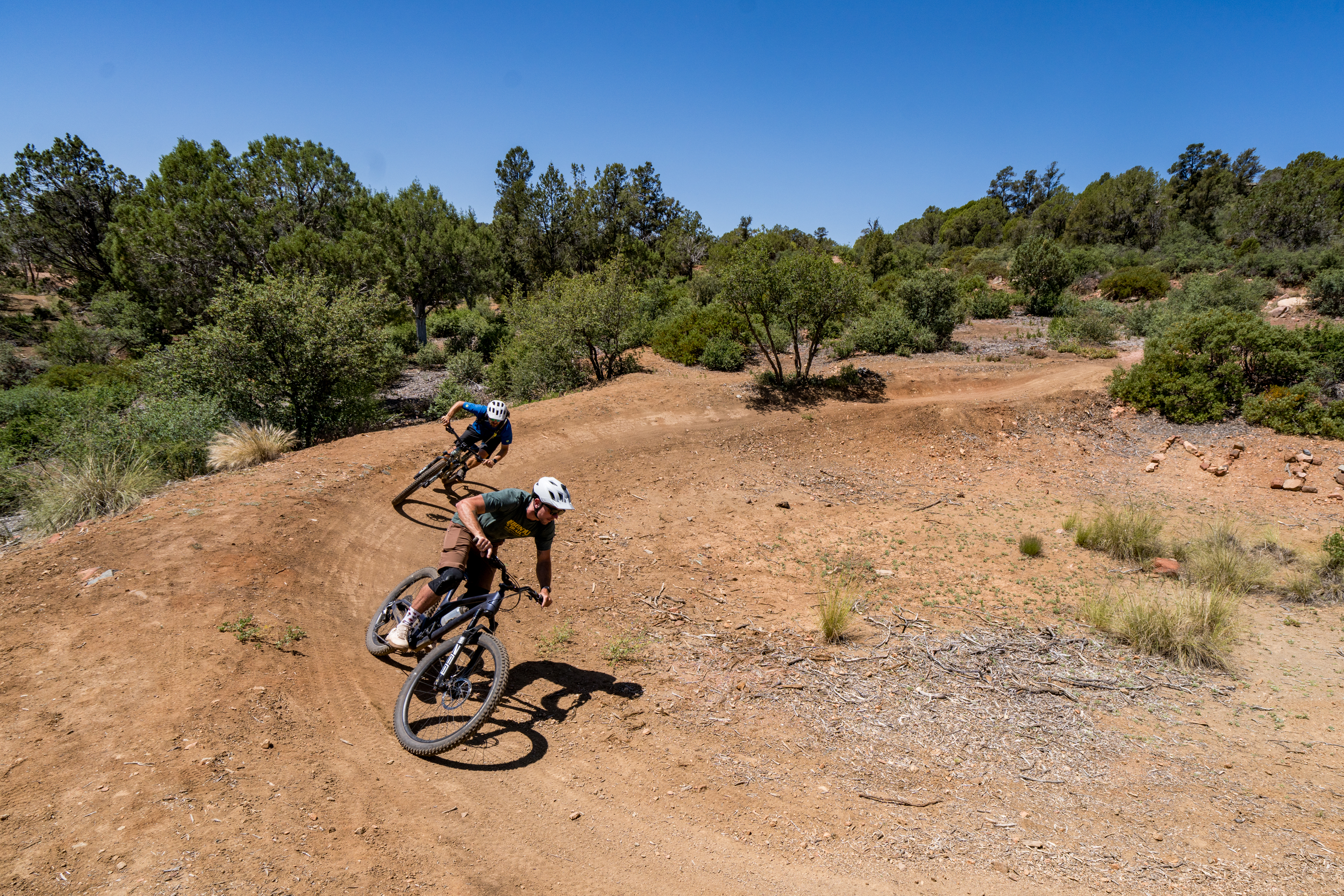
Afternoon: Ubuntu Trail
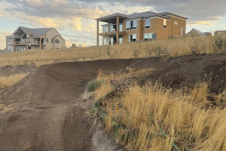
If you still have legs left after two and a half days of riding, head just a couple of miles across town to check out the newest trail in Payson: the Ubuntu Trail. This short three-mile loop ride is the perfect cool-down lap: it was designed specifically as a race course for high school teams.
“NICA approached us to do a trail for state champs. They really wanted to do it up here, and couldn’t really find a good venue,” said Rickus Grobler, Recreation Coordinator for Payson Parks and Recreation. “We just had the perfect opportunity with this land — plenty of parking. And I was like, ‘Cool, do a cross-country race course.’ And I love watching the XCO World Cup races. So that was kind of the main vision, is something that’s like the World Cup cross-country tracks.”
Thanks to this bike-specific vision, Grobler was able to build some of the only purpose-built bike features in Payson. The track offers a few small tabletop jumps, rock drops, and a few berms, with a massive sweeping turn at the bottom of the hill. In addition, there are plenty of small rock gardens intentionally incorporated into the trail.
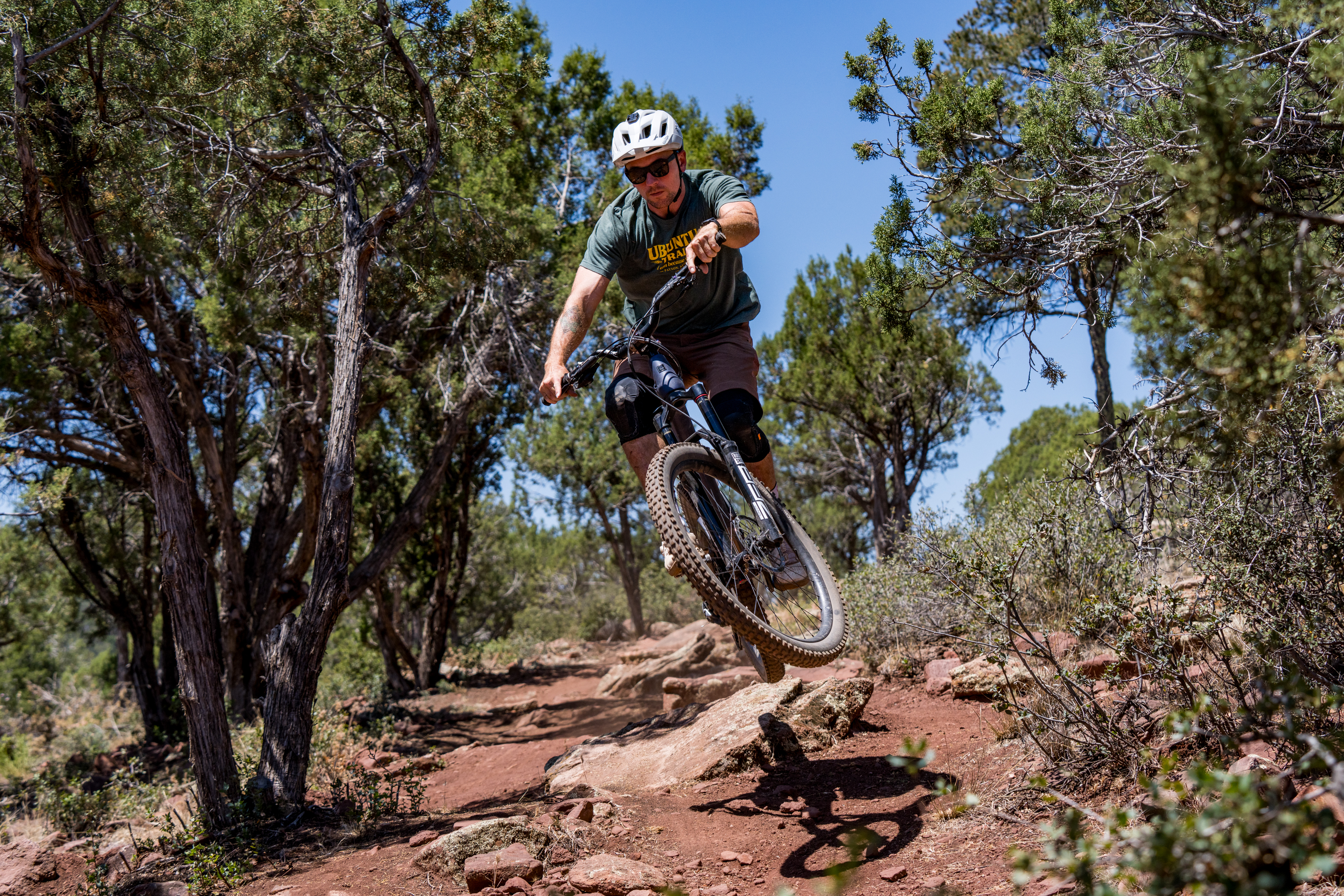
To provide that “World Cup” race course feel, Grobler, along with Mac Vorce and other locals, intentionally constructed multiple lines throughout the course, with pros and cons for each line choice. In some spots, the straight line is the fastest, but it’s the most technical. In others, the alt line might have a jump or a drop. Some corners offer a pair of dual slalom-style turns, opening up the opportunity for a high-speed inside pass.
Despite only having about three months to build the trail, it turned out really well. In addition to being a smash hit with the high school athletes (they couldn’t keep the kids off the trail in the evening), Ubuntu is also open to the general riding public.
“It’ll always be a work in progress,” said Grobler. “I’d like to see this become almost the training ground — not just for our local NICA and ACA teams, [for] the kids to develop their skills, because it is pretty technical — but for trail building itself.”
“We want kids who come back to race to be like, ‘Oh, it’s different. This year, there’s a new feature,’ things like that.”
Off the bike: lodging, dining, and bike services
Lodging
Payson offers a respectable array of major hotels, ranging from Motel 6 to Best Western. Just south of town, you’ll find Mazatzal Hotel & Casino. If you choose to stay in nearby Pine or Strawberry, you’ll find more locally-owned lodges and inns, like the Strawberry Inn boutique hotel. There are also vacation cabins available for rent in these smaller towns, such as the Cabins on Strawberry Hill.
If you prefer a more rustic experience, there’s ample camping in the region, including the expansive Houston Mesa USFS campground. Despite being located on national forest land, this 102-site campground is right on the northern edge of the Town of Payson. It offers plenty of sites, ranging from Class A RV sites to tent-only campsites.
Payson dining options
Though Payson doesn’t offer a ton of culinary diversity, and the area can be challenging for those with dietary restrictions, there are several excellent restaurants to choose from.
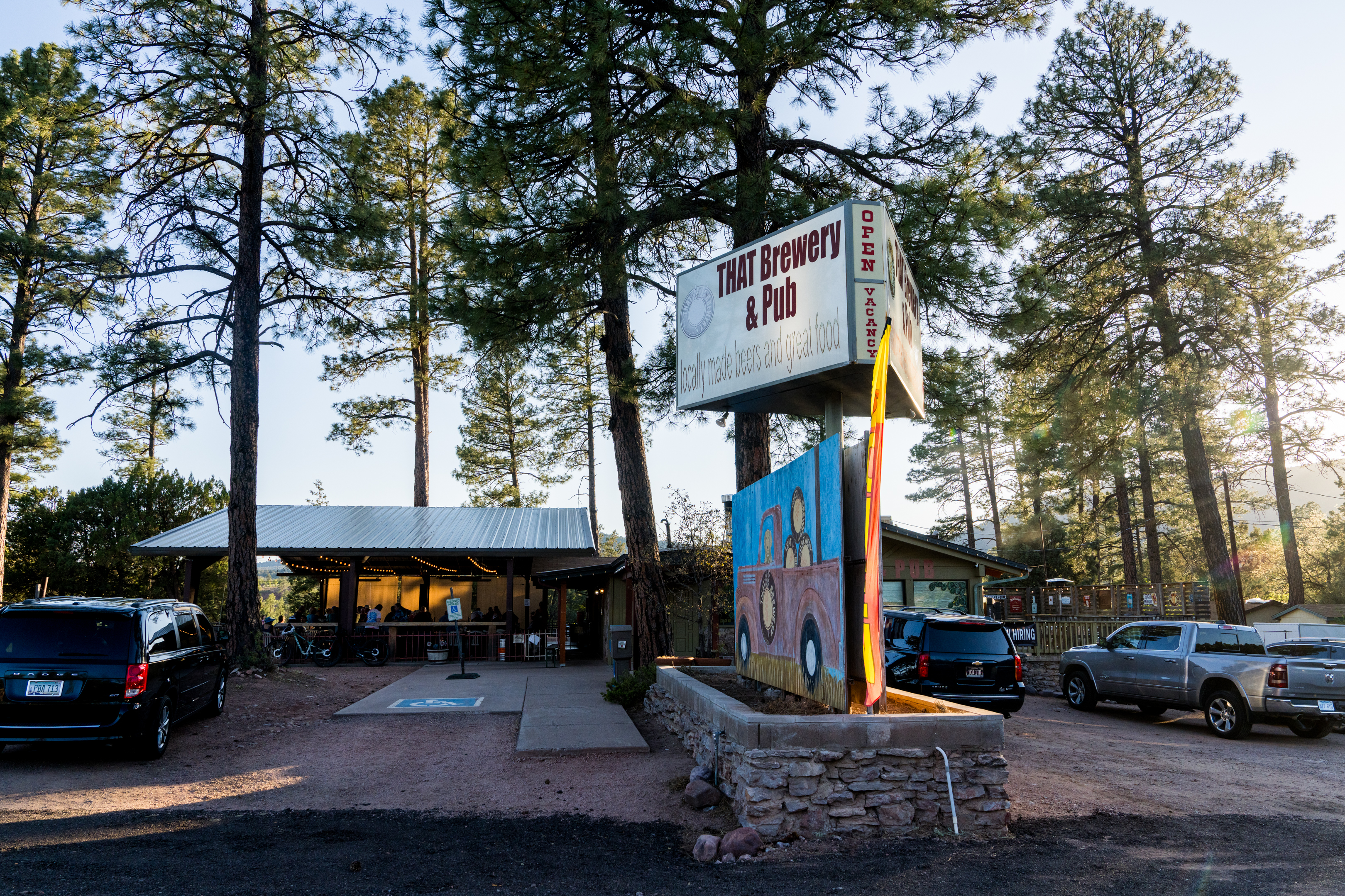
- THAT Brewery & Pub — Located in Pine just down from the main AZT trailhead, this is the only brewery in the region and a convenient post-ride stop. They offer American pub-style food with sandwiches, burgers, soup, salads, and appetizers. They’re also known for smokehouse BBQ.
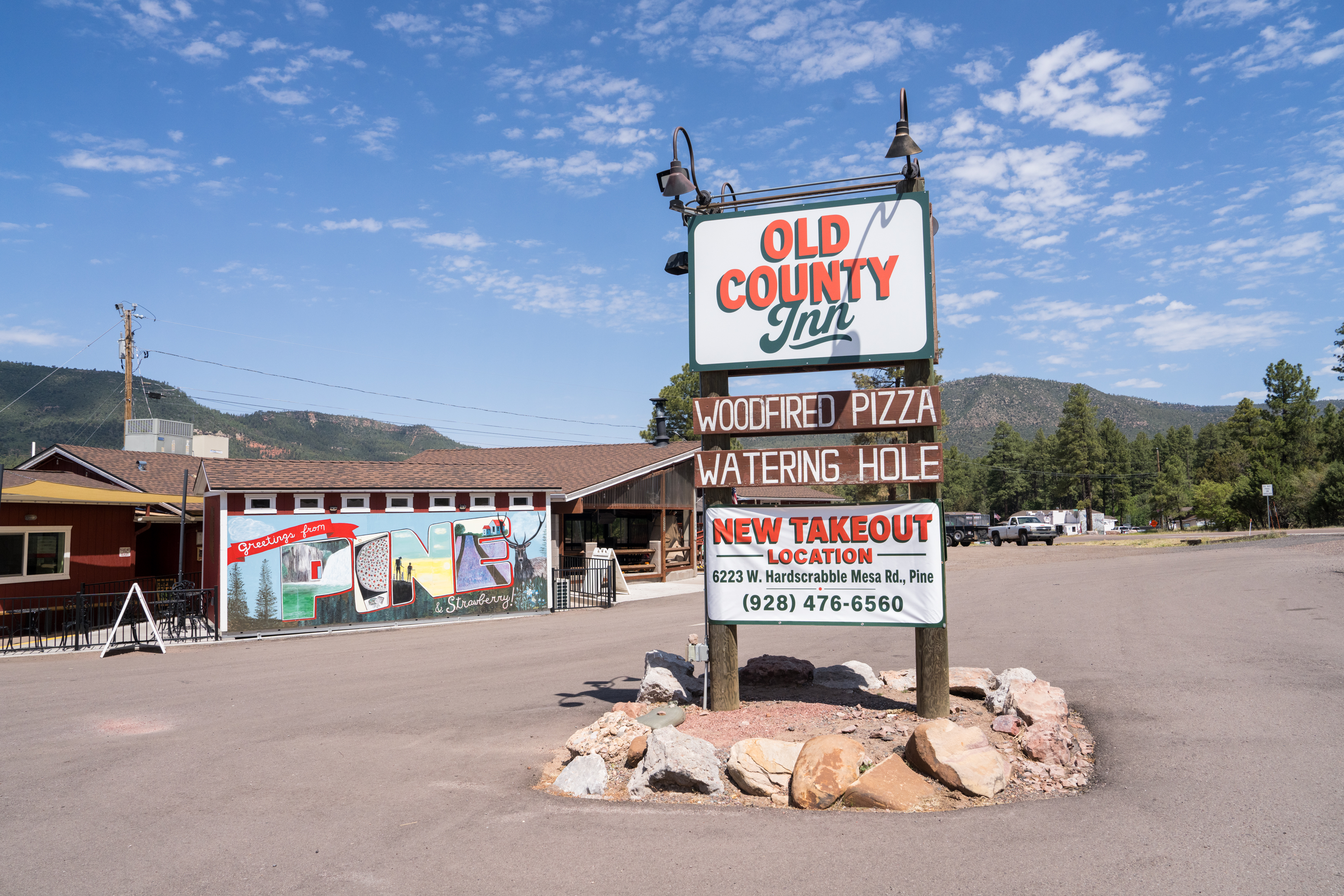
- Old County Inn — The place to go for wood-fired pizza in the region, Old County Inn is also located in Pine. They have a burger joint by the same name at a different location in town.
- K Sushi Bar and Grill — Renowned as the best Asian restaurant in Payson, K Sushi Bar and Grill offers respectable sushi and Japanese food.
- Buffalo Bar & Grill — More beer taps and pub-style food, Buffalo boasts a colorful interior and a fully-stocked bar to belly up to.
- Rim Country BBQ & Wood-Fired Pizza — The name says it all, and this establishment is well-reviewed by the locals and conveniently offers these options in downtown Payson.
- Delicious! Cafe — They boast the “best lunch, tea, and coffee in Payson,” and they’re probably right. If you want a break from pub food and BBQ, Delicious! is a great stop, though it’s not open in the evenings.
Bike repair
Payson doesn’t have a bike shop, so if you need accessories or supplies of any sort, be sure to buy them before you come into town. However, if something goes wrong and you need assistance, you can call Mac Vorce of Rim Country Bicycles, who has a mobile repair service. Vorce has been known to help out riders in need, even way out in the backcountry on the Highline Trail.
Shuttles
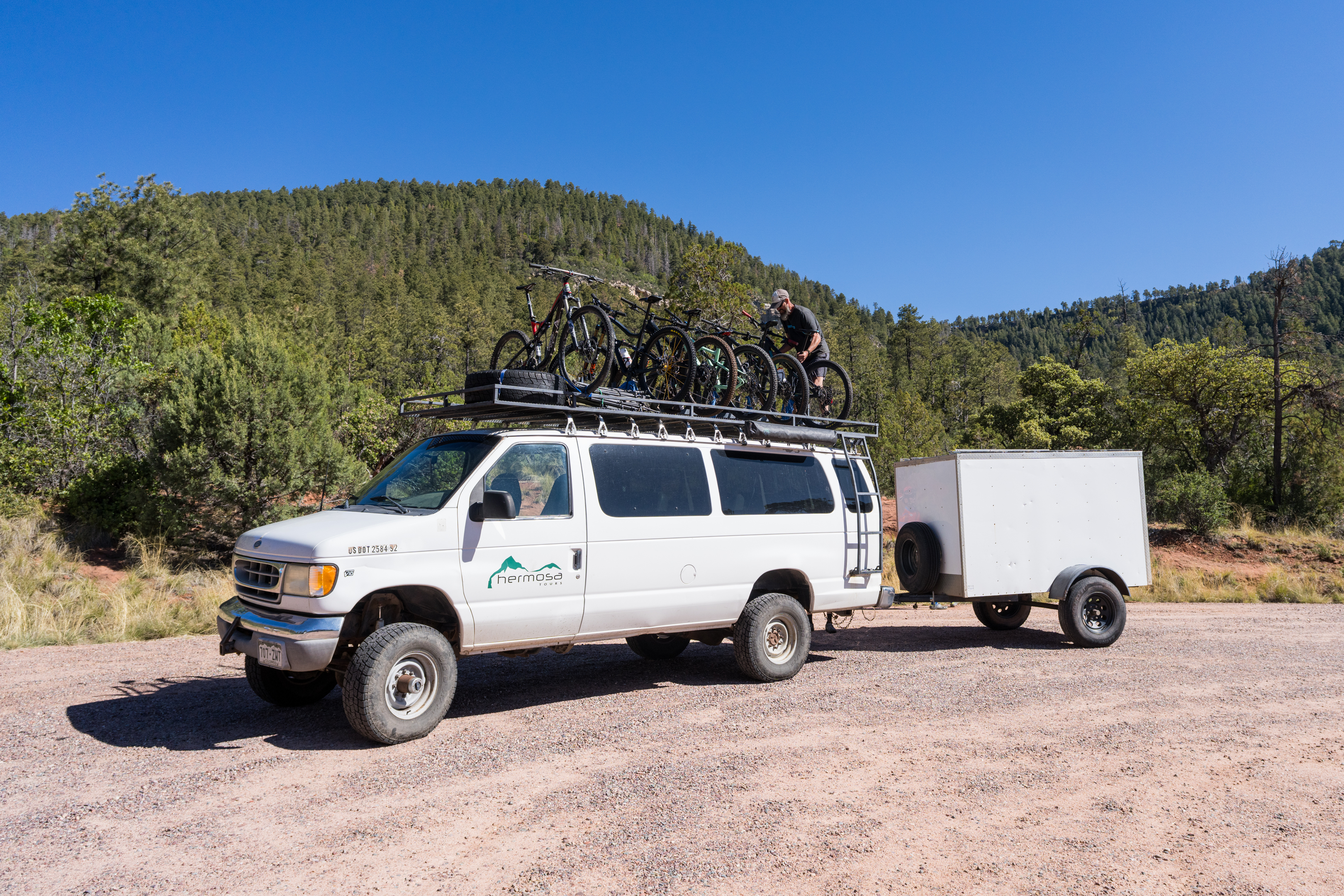
Hermosa Tours will be launching shuttles on the Highline Trail in September 2026, with a full-size shuttle van serving all three segments of the Highline. In addition, they also offer the aforementioned four-day itinerary on the Highline and Pine-Strawberry loop.
Rim Country Bicycles also offers shuttle services, but with a smaller rig.
Explore majestic Rim Country
You don’t travel to Payson for big-city amenities like upscale dining. You travel to Payson for Rim Country: the expansive natural landscape that surrounds it. The Payson Ranger District sprawls some 450,000 acres in all directions, and the entire Tonto National Forest boasts about 2.9 million acres of rugged wilderness. And above it all rises the Mogollon Rim, providing a stunning backdrop to the seemingly endless miles of mountain bike trails that thread through the forests below.
If you’re looking for a break from the heat and a new backcountry MTB adventure, look no further than Payson, Arizona.
The news stinks. Why not follow Singletracks on Google News to bring more joy to your day?

4 Comments
Jul 13, 2026
Both volunteer and contractor crews are at work, building new trails around Payson and Pine-Strawberry.
This autumn, the 6.5-mile Strawberry Mountain trail, topping out at 6,800 feet, will be opened. We hope to see you there!
Jul 14, 2026
Jul 16, 2026
Jul 17, 2026