Helena, like most towns in Montana, is surrounded by hundreds of miles of backcountry singletrack, up high in the mountains. But unlike many other Montana towns, they also have absolutely fantastic riding located directly adjacent to town–75 miles of it, in fact.
This area is known as the “South Hills Trail System.” This trail network is accessible at the end of almost every street in Helena, with 28 different access points–8 of which sport parking lots and full trailhead amenities.
When I first heard of this network of trails, I thought that it would consist of the general ho-hum singletrack that one is likely to find in a municipal park. But instead, I found trails that provided a middle-of-nowhere feel, while actually being located just outside of the state’s capital.
Also unlike the rest of Montana, the South Hills Trail System is rideable for the majority of the year. Due to Helena’s location on the east side of the Continental Divide and the exposed nature of the South Hills, the singletrack here dries out very early in the year, and stays rideable very late. According to Patrick Doyle of Bike Helena, “we’re a prime early season riding destination.” While trails in Bozeman might stay snow covered into July, the folks in Helena usually ride dry singletrack from April to November. With Cut Bank, Montana–oftentimes one of the coldest cities in the nation–located about three hours to the north, Helena lucks out with one of the sweetest spots in the state for mild weather.
Mount Helena Ridge Trail
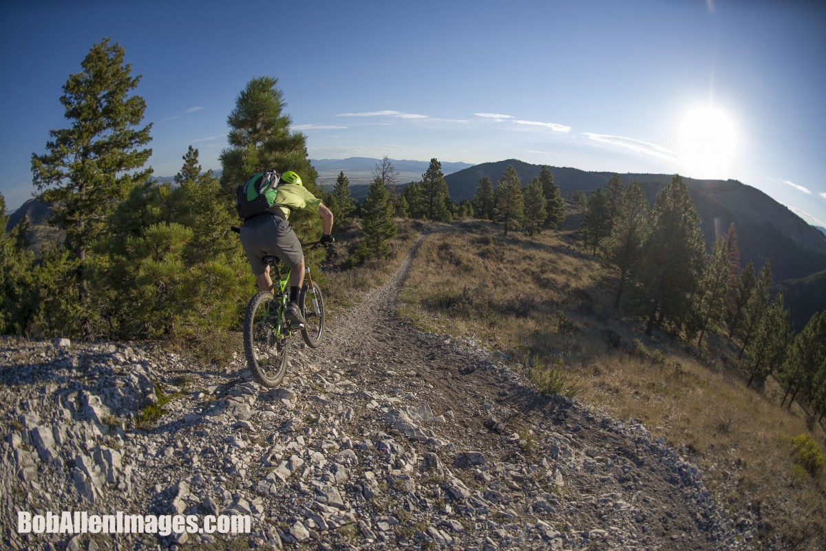
By far the most well-known singletrack trail in the system is the Mount Helena Ridge Trail. And for good reason–this is one of the primary drop off points for the free Trail Rider Shuttle, it offers some of the best scenery, the flowiest, fastest singletrack, and it has some of the best descent options as well.
While you do get a shuttle up from town, from the drop off point it’s still a stiff climb to the high point of the route. But once you get there, the rest is cake!

Cruising down the Mount Helena ridge trail is itself a riot, with flowy turns and chunky rock gardens to mix things up. But the fun really starts when you point the front end down off the ridge–and you have no shortage of options on how to end the ride.
Over the course of my three days of riding in Helena, I dropped off of Mount Helena Ridge by three different means:
- The frontside of Mount Helena
- Emmet’s Trail
- Show Me the Horse

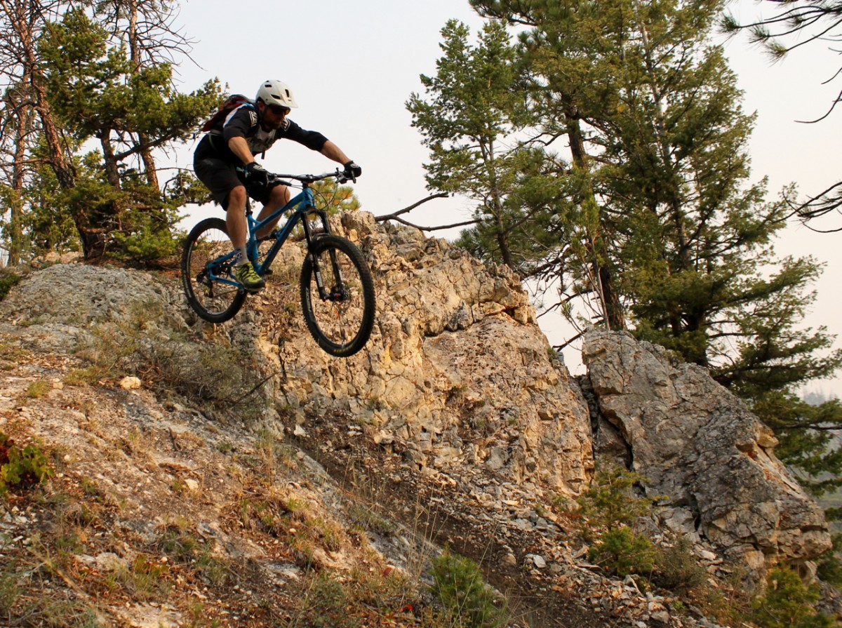
Mount Helena required additional climbing in order to reach the summit, but that climbing paid off with a rocky, technical, steep ride down the front face of the mountain, dropping right back into downtown. This was the most technical descent that I rode in the South Hills, and it was a total riot!

Emmet’s trail, on the other hand, is totally different. It drops off of the Mount Helena Ridge Trail about halfway down the ridge, and descends down to a dirt road that will lead you back to downtown. This trail is tight and twisty, and it’s home to some of the loamiest singletrack in the area. Emmet’s is more of a local’s trail, but thankfully I had two knowledgeable folks to show me around: Drew Swayne, and Bob Allen, head of the Montana Mountain Bike Alliance and professional photographer. Thanks for the insider tips, guys!

Finally, I saved the best for last, ending my weekend on a high note: Show Me the Horse! This is a fast, flowy descent that drops off Mount Helena Ridge about 2/3 of the way along, that absolutely rips down to the same gravel road where Emmet’s trail ends. While I found many of the trails in the Helena area to offer straight, high speed sections into awkward, sharp, flat corners with no berms, the Show Me the Horse trail had more flowy turns with a bit of bank on them, allowing me to rip way faster than on the other trails, and much more confidently. It was just so good, I couldn’t stop for a photo!
Rodney Ridge Trail

Rodney Ridge is, by all accounts, the second most epic ridge in the South Hills, located a couple of ridges east of Mount Helena Ridge. The views and singletrack, again, are excellent on Rodney Ridge, and part of the ride is composed of the “Rent Money” trail–a new school flow trail with berms, rollers, and a few small jumps. While not the biggest flow trail I’ve ever ridden, after the flat corners and awkward turns mentioned above, getting into a trail that flowed predictably and offered some berms was a breath of fresh air!
Mount Ascension

While we rode the Trail Rider Shuttle to the Mount Ascension parking lot, we realized after the fact that the ideal way to ride Mount Ascension is by climbing up the front side from town, and then bombing down the flowy Entertainment Trail on the south side of the mountain. We ended up doing the ride backwards, and we still had a great time!

When walking around town and chatting with the locals, I heard many people exclaim, “Oh! Our trails are so well-marked and well-organized, that nobody could ever get lost here!” That’s true only to a certain extent: the reason that no one can really, truly get lost is that as long as you go downhill, you’ll end up back in town eventually. All of the drainages below the ridges in this trail system funnel back into Helena, so if you just point the bike downhill, you’ll eventually reach a road or the city itself. If you reach a road, take that downhill as well, and presto! You’re in Helena.
That doesn’t mean that the trails are well-marked.

While there are a few trail signs scattered here and there, during our wanderings we came across plenty of intersections with unmarked trails–some of which were clearly old social trails, and others which were main thoroughfares. More than once we found ourselves on a trail that wasn’t the one we were aiming for, and while we got turned around a few times, more often than not we just went with it. This was the case on Mount Ascension: we ended up going up the trail we intended to take down, but by the time we realized it, we just decided to carry on and ride the route backwards. We still had a great time, but it would have been even better the other direction–and better if we hadn’t had to spend so much time staring at the trail map.
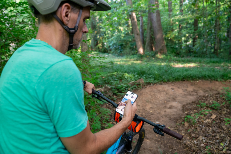
At least I was able to explore both Rodney Ridge and Mount Ascension with some great folks from North Dakota that I met on the Trail Rider shuttle up to MacDonald Pass the first day: Candy and Don Hartman. If I had to be lost, at least I got to be lost with some super fun people. That’s the beauty of the Trail Rider–you never know who you’ll meet!
The singletrack in the South Hills Trail System is superb, finding the trailhead you want is easy thanks to the Trail Rider shuttle, and you’ll never get totally lost, as you can always go downhill to town. But if you’re trying to take a specific route or find a specific trail, be sure to grab one of the high-quality waterproof, tear proof maps from the Pickly Pear Land Trust, and be prepared to still get turned around a few times.
Despite a few navigational difficulties, I had a most excellent time exploring Helena’s singletrack! I can’t wait to get back and hit all the trails that I didn’t get a chance to explore.
Post-Ride Beer at Blackfoot River Brewing Co.

Hands-down one of the best places to grab a post-ride beer is the Blackfoot River Brewing Co., located about a block from the pickup spot for the shuttle and the hotel I stayed in. While the excellent Lewis & Clark Brewing Company is also located in Helena, they just can’t beat the post-ride convenience of Blackfoot, if you’re up in the South Hills. With all of the rides finishing right on the outskirts of town, if you choose the right route, you could literally pop out at Blackfoot’s front door. Swing on in, grab a fantastic craft brew, and enjoy!
Helena is home to some epic backcountry riding as well. Click here to read about one of the best big-mountain routes in the area!


0 Comments