×

|
Rate it:
Tags:
Level:
Length: 5 mi (8 km)
Surface: Doubletrack
Configuration: Loop
Elevation: +207/ -207 ft
Total: 6 riders
Mountain Biking The Rollercoaster
#773 of 1,005 mountain bike trails in California
Lots of short, steep climbs followed by fast downs. If you gain enough speed, you'll be able to make it to the top of the next up with minimal peddling.
First added by on Oct 7, 2013. Last updated Apr 28, 2020. → add an update
Before you go
- Drinking water: unknown
- Lift service: unknown
- Night riding: unknown
- Pump track: unknown
- Restrooms: unknown
- Fat bike grooming: unknown
- E-bikes allowed: unknown
- Fee required: unknown
This trail information is user-generated. Help improve this information by suggesting a correction.
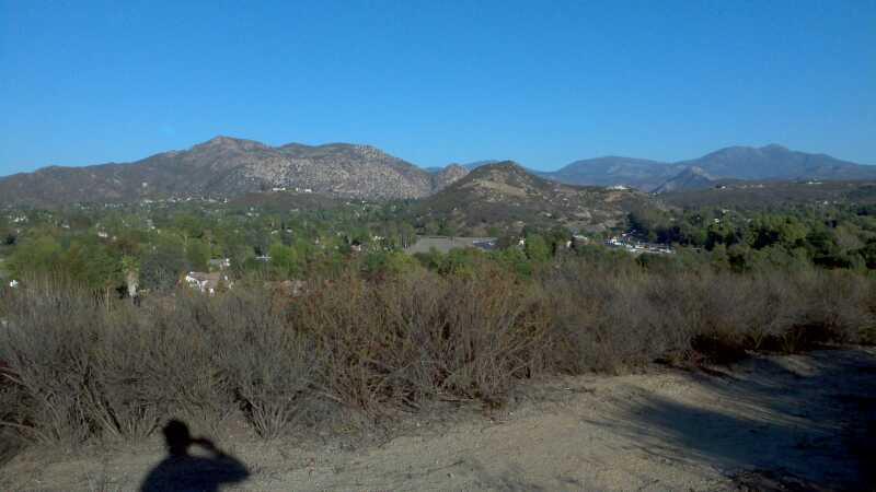
At the gate to the Simon Open Space Preserve- don't go in. Instead, take a left and follow the fence line up, up and up!


Loading reviews...View more