×

|
Rate it:
Tags:
Level: Advanced
Length: 13 mi (20.9 km)
Surface: Singletrack
Configuration: Network
Elevation: +745/ -845 ft
Total: 69 riders
Mountain Biking Solstice
#26 of 1,005 mountain bike trails in California
⚠️ Currently closed to mountain bikers due to Covid-19, and also bad behavior.
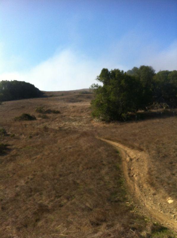
Solstice by itself is about 4 miles of flowing, technical , rock gardens, off camber switchbacks, roots standing 8 inches above the soil, and bolder strewn drops. For a first timer, please go with a veteran as they can point out some of the technical areas that will warrant a good mortality check. It's a trail that deserves some respect and those that are cocky will be rewarded with a feast of face plants and rocks for breakfast. In Spring, it all held together with the moisture and decent traction prevails, in late Summer, the dust will fly and sliding action is abundant. The lines taken between seasons varies greatly.
Bring the right bike to ride. If you have a group of diverse riders and skills, be prepared to be waiting for those with climbing challenges at the top and those with technical descending deficiencies at the bottom. The trail will end onthe edge fo the San Dominico School in San Anselmo. You can take Butterfield Dr all the way down through Sleepy Hollow to Sir Francis Drake, make a right and get back to your start at Sunshine Bikes/Java Hut. Burgers, Beers and laughs await at the Deli.
First added by Suvacrew on Oct 7, 2010. Last updated Sep 10, 2020. → add an update
Before you go
- Drinking water: unknown
- Lift service: unknown
- Night riding: unknown
- Pump track: unknown
- Restrooms: unknown
- Fat bike grooming: unknown
- E-bikes allowed: unknown
- Fee required: unknown
This trail information is user-generated. Help improve this information by suggesting a correction.
I'd suggest taking the usual route up into Tamarancho. Heading up Iron Springs road from the Java Hut/Sunshine Bikes in Fairfax, you'll take the Alchemist trail head into Tamarancho Boy Scout camp and ride up to Goldman Trail (the junction with the log balance course), head to the right as if you're doing the Tamarancho Loop counterclockwise and ride the Broken Dam trail down to the B17 extension which leads out of the park. You'll cross under Sir Francis Drake Blvd and come to a fork in the fire road. To the right is Railroad Grade, a long but steady climb, and to the left is the Gun Shot trail, a straight up climb to the summit with 3 complimentary false summits. You'll find some single tracks here that will lead off to the East near the top of Loma Alta..and connect you to Solstice.


Loading reviews...View more