This is a network of trails on the far SE end of the Bogd Uul range. There are around 40 miles of trail here in an area of about 75 sq km (29 sq mi, 18,700 acres, 8500 hectares). Most all of it is on the north side of the mountain, and much of it forested with rock outcrops scattered throughout. Very beautiful. There is more trail on the south side of the mountain, but I am limiting this description to the north side only. The southern trails are much more barren for the most part. If you added in the south side of the mountain, the mileage would increase substantially.
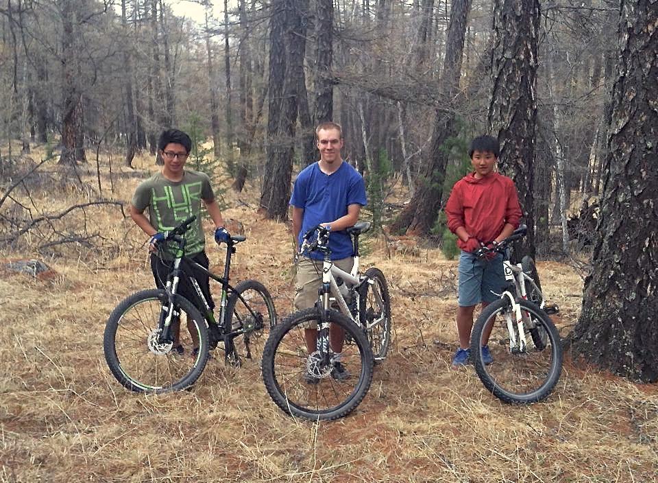
I have only ridden a small portion of the trails here thus far, but what I have ridden is REALLY nice. The climbs are very nice -- long but not too steep with some challenging spots and hike-a-bike sections here and there. The DHs are a great mix of slow tech, fast tech and all out rippin' fast. There is a good mix of singletrack and double track. The double track is not double wide, but two narrow singletrack side by side. Most of the trails were formed by vehicles, but receive so little use that the track often reduces to narrow singletrack. The surface is a mix of hardback, organic dirt and grass/needle. Five stars so far for the riding, scenery and pristine nature.
 | Clay Mountain | 7 mi | |
| Clay Mountain Portal | 1 mi | |
| East Valley | 5 mi | |
| Inner Basin | 3 mi | |
| Lower Tur Norakh Gol | 4 mi | |
| Moon Mountain Pass | 2 mi | |
| Upper Basin | 2 mi | |
| Upper Basin Short Loop | 2 mi | |
| Upper Traverse | 6 mi | |
| Wild Horses | 4 mi |

If you like climbing, you will like this trail. If you like descending, you will like this trail. =) There is nothing not to like about this trail. A big 4.1 mile climb (1750' of verts) and descent in a beautiful Mongolian larch forest. Great views of big country on top. Why is it called Wild Horses? Read the review under the main trail system page Khonkhor Hills South.
| ThankThe trail system has a lot of grassy surfaces. I'm guessing that by mid-summer, it could be difficult ride in places due to the tall grasses. It will be interesting to see. I'm really looking forward to riding this trail at different times of the year and see what the conditions are. Spring and fall should be awesome for sure.
Even with the potential of tall grass for part of the year, I really like that the surface is all organic or hard packed. There is no loose granite gravel. So the traction is excellent and really allows you to open it up on the downhills.
| ThankBeautiful Siberian larch forest with some birch and spruce mixed in. Big long climbs, fast long descents with some tech mix in. It's all good here. Great place to ride and explore.
| ThankNear the bottom of the mountain at the end of our ride last week, we suddenly came upon a small herd of horses. We were at full speed when we saw them, and they immediately took off in front of us at a full gallop. Down the mountain we went together with the horses just ahead of us. It was a beautiful sight and quite the experience. Another great Mongolia moment.