Trails
Reviews
Tips
Community
Deals
Latest
Support
Trails
Find trails
Best bike trails
Destinations
Add a new trail
Reviews
Mountain bike reviews
Components
Tires
Clothing & shoes
Helmets
Accessories
Product news
Community
MTB Clubs
Races & Events
Bike Shops
Tips
Skills
Fitness & Training
Health & Nutrition
Beginners
Repair
Latest Articles
Podcast
Deals
Support Singletracks
Sign in
Create an account
About us
Newsletter signup
Home
/
Mountain Bike Trails
/
United States
/
California
/
Ramona
/
Fry-Koegel Trail
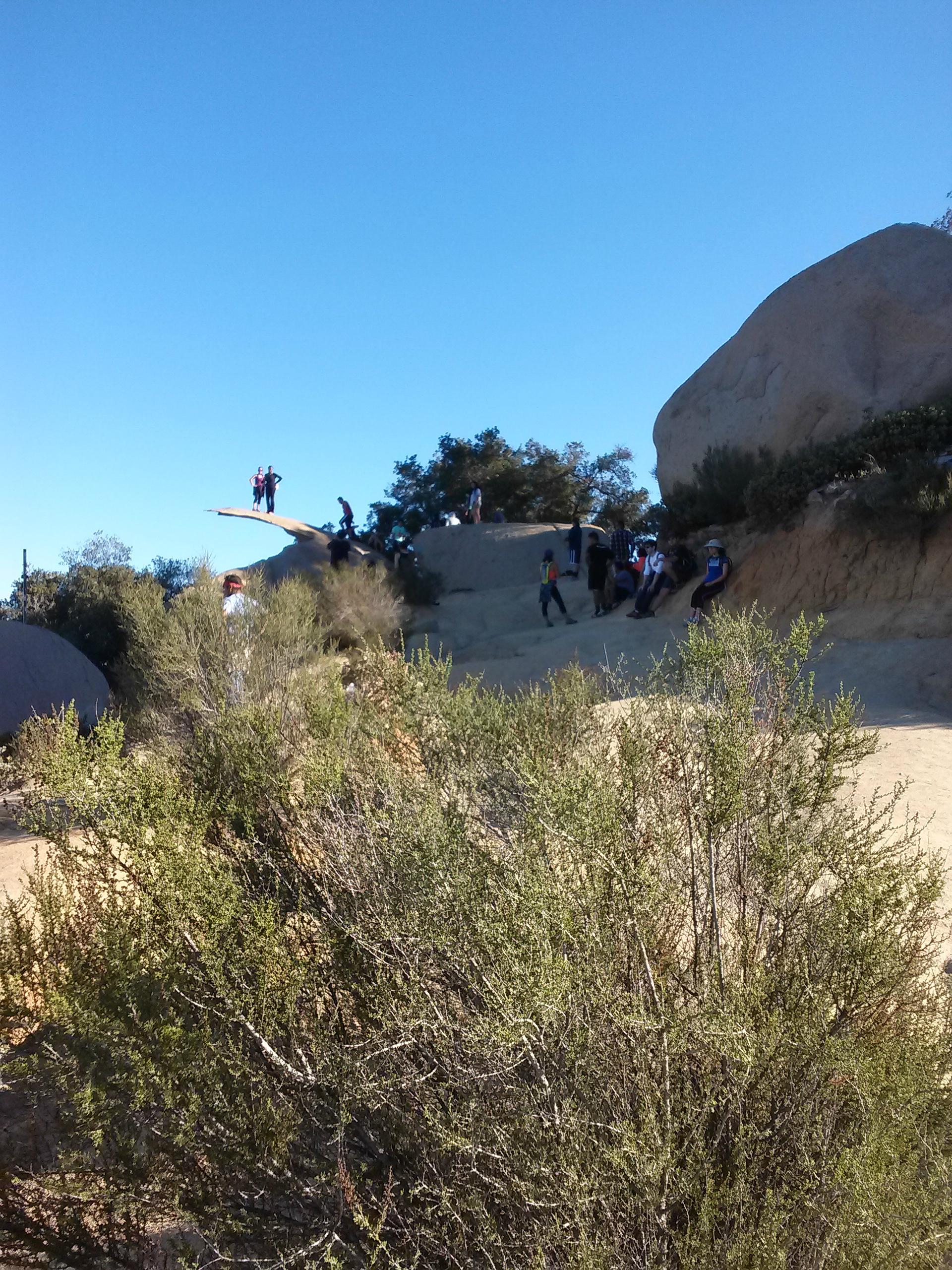
Fry-Koegel Trail
See all photos (6)
×
❮
❯
User
Today
| Rate it:
Tags:
×
Share this photo
Forum code
HTML
Get Directions
Add a photo
Title *
Add a photo
Share
Check in
Loading...
×
Check in
Level:
Length:
8 mi (12.9 km)
Surface:
Singletrack
Configuration:
Out & Back
Elevation:
+706/ -701 ft
Total:
8 riders
Mountain Biking Fry-Koegel Trail
Add a review
#780
of 1,015 mountain bike trails in California
#16,712
in the world
Technical climb with lots of shade on the lower trail.
First added by
unassimilated
on May 28, 2014. Last updated Apr 28, 2020.
→ add an update
Before you go
Drinking water: unknown
Lift service: unknown
Night riding: unknown
Pump track: unknown
Restrooms: unknown
Fat bike grooming: unknown
E-bikes allowed: unknown
Fee required: unknown
This trail information is user-generated.
Help improve this information
by suggesting a correction.
Getting there
Route to Trailhead with Google Maps
Park near the fire station on highway 67
×
Save this item
Loading your lists...
+
Create a new list
'
Fry-Koegel Trail Trail map
Add to or improve this map
//
Share this map on your website
Local Info
Club Sponsor
-
Local Bike Shop
The Bike Works
View more
Trail checkins
Jim Herrick
(Oct 1, 2022)
What's this?
Upcoming Events
None.
Add one
Trail conditions
Tacky (May 19, 2015)
update
login to update
Camping & Lodging
Coming soon!
Fry-Koegel Trail videos
Add a video
We don't have any videos of this trail yet.
Add one here
.
More trail photos
Mountain Bike Trails Near Ramona, California
Simon Preserve
| 5 mi
The Rollercoaster
| 5 mi
SDCE Up and Back
| 8 mi
Happy's Loop Trail
Intermediate | 9 mi
Add a review
Rating
Difficulty
Review
Reviews
View more
Rider questions
Ask
×
Update trail conditions
×
Update trail conditions
Please
login
or
create an account
.
×
Share this trail
Tweet
×
Add a photo
0%
Write a caption...
Title *
Tag your upload
Tag a trail, bike, and/or a category.
cancel