Black Mountain trail photo
×
User
Today
 
  |   Rate it:

Tags:
Level:
Length: 14 mi (22.5 km)
Surface: 4x4 Trail
Configuration: Out & Back
Elevation: +921/ -881 ft
Total: 5 riders
 

Mountain Biking Black Mountain

  Add a review
#767 of 1,005 mountain bike trails in California
#16,702 in the world

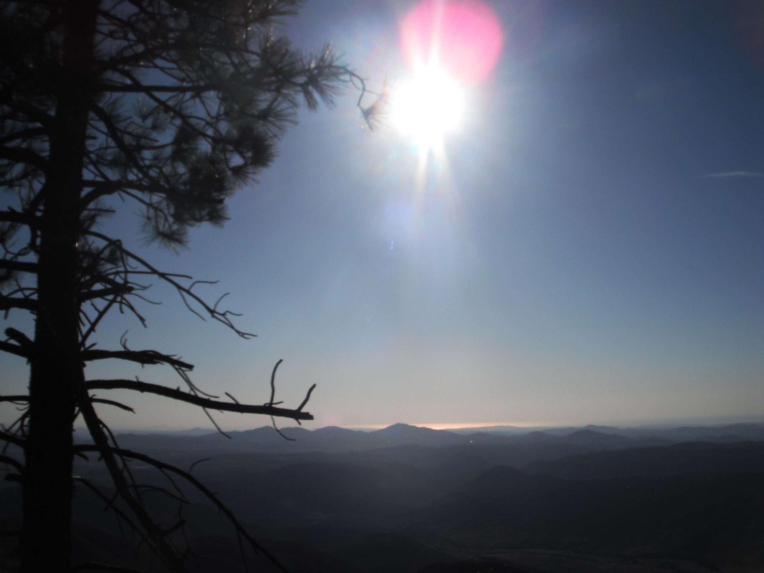
This starts as Upper Santa Ysabel Truck trail, after 1.5 miles it forks. The left fork is Black Mountain Truck Trail. It leads to the summit of Black Mountain. Long ago there was a forest fire lookout tower at the summit. That has been removed, but the road remains. It is occasionally maintained, but generally requires a truck, jeep, bicycle, or a lot of walking to reach the top. From valley floor to end of tail is about a three thousand foot climb---with almost no descending (maybe 10 feet down) along the way---a real, unrelenting workout. The grade is mostly moderate, eight to ten percent. But a little more than a mile from top is a section locals refer to as "the wall", because after almost six miles of unrelenting climb you are faced with a quarter mile of 15-25% grade! After which there is a small semi-shaded area where you can rest (or ride slow circles if you want to claim a nonstop climb) before climbing another fairly steep (10-15%) over the last mile. On a clear afternoon, you can see: the sun reflecting off the ocean 30 miles to the west; the Palomar Observatory dome to the northwest, San Jacinto Mountains to the north, Cuyamaca Peak to the east, and Ramona to the south. And more reward for the climb---three thousand feet uninterrupted descending in seven miles.

First added by searsandrewj on Dec 25, 2016. Last updated Apr 17, 2020. → add an update
Before you go
  • Drinking water: unknown
  • Lift service: unknown
  • Night riding: unknown
  • Pump track: unknown
  • Restrooms: unknown
  • Fat bike grooming: unknown
  • E-bikes allowed: unknown
  • Fee required: unknown
This trail information is user-generated. Help improve this information by suggesting a correction.
Getting there
From Main & 10 St in Ramona: north to Haverford, turn right; take Haverford to Pamo Rd, at this point the road curves sharp left 90 degrees, so you can't miss it; follow Pamo Rd about 5.5 miles to Forest Route 12S07 on the right---this is the start of the trail. It is in Cleveland National Forest and you will need an Adventure Pass to park a car or truck here (available at several local retailers in Ramona or the Forest Station Black Canyon Rd.


Black Mountain Trail map

Add to or improve this map // Share this map on your website

Local Info

Club Sponsor

-

Local Bike Shop

Trail checkins

swerverider (on Sep 20, 2018)
What's this?

Upcoming Events

None.
Add one

Trail conditions

Dry (on Sep 20, 2018)
login to update

Camping & Lodging

Coming soon!

Black Mountain videos

Add a video
We don't have any videos of this trail yet. Add one here.

Mountain Bike Trails Near Ramona, California

| 5 mi
| 5 mi
| 8 mi
*****
Intermediate | 9 mi

Add a review

Rating
 
Difficulty
 
Review

Reviews

    Loading reviews...

Rider questions