×

|
Rate it:
Tags:
Level: Intermediate
Length: 4 mi (6.4 km)
Surface: Singletrack
Configuration: Network
Elevation: +151/ -23 ft
Total: 48 riders
Mountain Biking Bangert Island
#34 of 171 mountain bike trails in Missouri
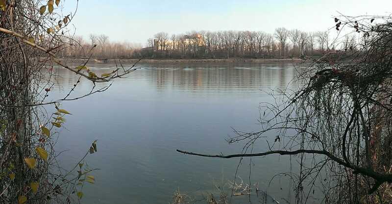
This trail is between the Katy Trail and the Missouri River just south of downtown St. Charles. 4.2 miles of singletrack, with some sandy areas, have been squeezed onto the island. The main loop is a figure 8 designed to be accessible to the beginning rider with minimal elevation change. The Sandy Loop weaves in and out of the drainage troughs alongside the river edge, offering a change of pace from the flats on the main loops.
First added by Stl_Greaser on Feb 20, 2013. Last updated May 6, 2020. → add an update
Before you go
- Drinking water: unknown
- Lift service: unknown
- Night riding: unknown
- Pump track: unknown
- Restrooms: unknown
- Fat bike grooming: unknown
- E-bikes allowed: unknown
- Fee required: unknown
This trail information is user-generated. Help improve this information by suggesting a correction.
Take I-70 to the 5th Street exit in St. Charles, and head South on 5th Street. Bear left onto the South River Road, and then left again onto Old South River Road. Parking is available on both sides of Old South River Road.
System trails (4)


I am really enjoying the new jumps and berms!
| ThankGood trail. Well maintained, mostly hard pack dirt, some really sandy areas on one of the loops. One end has a bit of a small terrain park, jumps, boards, logs, etc. nothing super intense. As someone just getting back into mountain biking; this was a good, somewhat challenging trail to help relearn skills, and more experienced riders can have a bit of fun.
| ThankLove this trail system. Great for a beginner, but has some features for more advanced riders also.
| ThankPretty boring really
| ThankGood place to take a newbie
Sandy areas are too hard without a fat bike
Fun beginner trail. Very well laid out in river bottom. One loop still blocked from flooding damage earlier this year.
| ThankGood fun trail situated on an island in the Missouri River. Nice tacky soil and starting to get some man mead obstacles in the form of a step up jump with more to come.
| ThankNice tight turns through some sandy loam soil, few if any obstacles. Great views I the river at a few points along the way. Go fast and it can be a nice challenge. As of June 1st 2013 it is completely under water, Mother Nature really got a hold of this trail.
| Thank