×

|
Rate it:
Tags:
Level: Easiest
Length: 238 mi (383 km)
Surface: Greenway
Configuration: Out & Back
Elevation: +264/ -276 ft
Total: 73 riders
Mountain Biking KATY trail
#50 of 170 mountain bike trails in Missouri
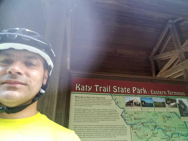
The Katy Trail is a rails to trails conversion of an old Missouri/Kansas/Texas line. It is a crushed limestone path stretching across most of the state of Missouri from Machens (near St. Charles) to Clinton. Construction is underway on an old Rock Island line that will connect the Katy to the Kansas City area.
Although very flat and not challenging for many mountain bikers it provides access to several different singletrack trails and other greenway connectors to nearby communities.
Get more information at: http://www.bikekatytrail.com/default.aspx
First added by CFM on Nov 27, 2012. Last updated Apr 28, 2020. → add an update
Before you go
- Drinking water: yes
- Lift service: unknown
- Night riding: unknown
- Pump track: unknown
- Restrooms: yes
- Fat bike grooming: yes
- E-bikes allowed: unknown
- Fee required: unknown
This trail information is user-generated. Help improve this information by suggesting a correction.
The trail can be accessed from many communities along its length. Well established trailheads usually provide water, restrooms, trail maps, and local information.


flat rail to trail that has some nice views
| ThankClose to 70 when traveling out west.
Decent ride, wide gravelly path that follows an old railroad bed. Go for the scenery along the Missouri River. Due to the extreme ease in riding this trail, you can get some serious distance!
| ThankIn St. Charles County, you can use the Katy to connect quite a few trails such as Klondike, Matson Hill, Lost Valley/Hamburg. You can get some serious climbing in on those great trails.
| ThankThe KATY trail is certainly not a sweet singletrack ride. What it does offer, however, is an avenue for off season, long distance riding. That is exactly how I used the trail this time and got more than enough miles in to suit me.
| Thank