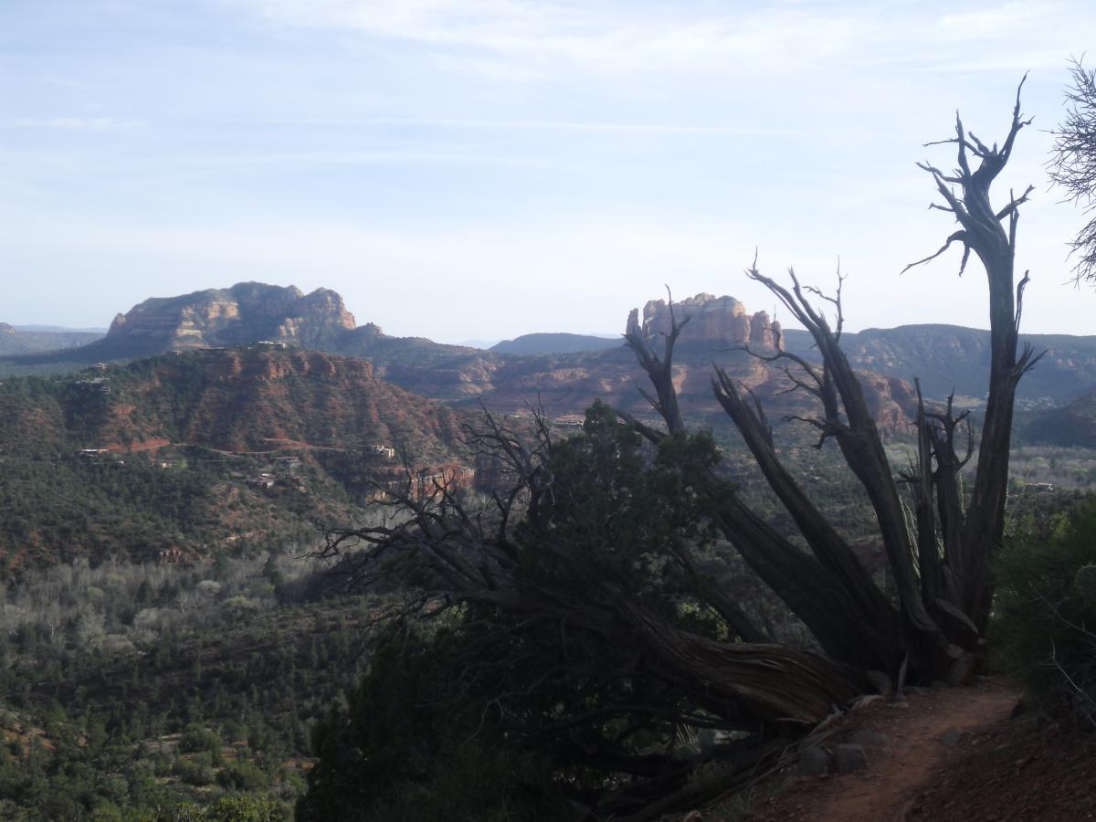
There are networks of trails on all sides of Sedona. This network of trails is in
the area south of Hwy 89A and north of Oak Creek. There are several
possible routes and trail configurations in this network.
 | Bandit | 2 mi | |
 | Ram's Head Trail | 3 mi | |
 | Ridge Trail | 3 mi |


 12
12
The first trail I hit after checking in to Skyranch Lodge to stretch the legs.
| ThankMescal was one of our favorite trails after 2 days of riding in Sedona. Great views and very flowy
| ThankMescal was one of our favorite trails after 2 days of riding in Sedona. Great views and very flowy
| ThankThe main airport loop is a 3.5 mile relentless tech fest with huge exposure and constantly threatening cactus. Cool. Parking on the mesa can be tough and there are a lot of hikers in the immediate area, but once you get past the overlook, you'll have the trail to youreself. Even advanced technical riders will hike a good chunk of it. Clockwise is best. There's fantastic scenery along the entire route--as you circumvent the mesa, you'll get the full 360 degrees of Sedona's surrounding beauty.
| ThankFun practice loop for those not ready to take on a longer or more technical ride.
| ThankThe trail segment from the top of the ridge south towards the river is probably one of the best descents in the Sedona area ... or a tough climbing challenge if you're going the other way.* Review edited 3/16/2011
| ThankThis network of trails is right on the edge of Sedona and seems to be overlooked by a lot of visiting mountain bikers. Don't leave without checking out this area.
| Thank