
The first time I visited Phil’s World was a dozen or more years ago. At that time, there was only around twenty miles of singletrack. With that mileage, it made for a fun stop if you were already in the area riding other trails. However, now that it has swollen to almost triple that size, it is worthy of being a destination on its own.
With the added mileage, the Phil’s World trail system has been divided into three separate areas, which are connected at their trailheads: Phil’s World South, Phil’s World Middle, and Phil’s World North. Each area has its own parking lot and porta-potty.
Phil’s World South
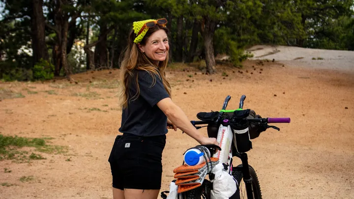
The South trailhead, on US Highway 160, was the original trailhead, so I decided to begin my recent ride there. I arrived early, avoiding the brutal desert heat and quickly realized that it wasn’t an original game plan. I counted license plates from six states outside of Colorado.
Reviewing the map posted at the parking area, there were several trails in the lower original trail system that I didn’t remember from previous visits. This stoked me, even more, to get my ride started.
Portions of Phil’s World are on a state trust land that charges a lease. The Southwest Colorado Cycling Association (SWCCA) has a fee box located just inside the gate after leaving the parking lot with a suggested donation of $5 to $10 for a family. They use this money to pay land lease fees, insurance, and other expenses related to maintaining the trail network. Included in this maintenance is $4,120 annually to maintain the much-appreciated porta-potties located at the trailheads. So please, do your part and drop some money in.
All the trails at Phil’s World are directional, intended to be ridden clockwise. Once I paid my fee after entering the gate, I was enjoying sweet hard-packed singletrack on Coco Race Trail, as it weaved in and around stunted pinion and juniper trees.
The lack of ruts and exposed roots that are normally associated with trails that have been around a while was impressive. Rather, the trails were well maintained and in great shape. Scott Darling, co-owner of Kokopelli Bike & Board located in Cortez, says that area riders are pretty knowledgeable of trail conditions, and follow the golden rule “go back if you leave a deep track.” Also, it helps to have volunteers like Shawn Gregory, who was named the Bureau of Land Management 2019 Volunteer of the Year for Colorado, working on the trails.

Remembering how confusing the trail system had been on previous visits, with the numerous connector trails, I decided just to hang left at all intersections to ride the outside loop.
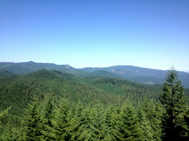
After the nice flowy start on Coco, I jumped onto Lemon Head for a reintroduction to the recurring rock ledges. As the trail rolls along the lip of twenty-foot bluffs, it offers nice unobstructed views of the surrounding distant mountains and the fairgrounds across the highway.
A good portion of the Ledges Loop follows along rock ledges, with views down into a canyon. Even though some of the drops down the ledges can be pretty tricky, riders have to maintain good speed, so they have the momentum to pop the front of their bike up the challenging rock step-ups coming back out.
Stinky Spring Loop follows the Ledges trail. It begins with a gradual climb on smooth singletrack. When reaching the summit, cyclists are rewarded with a fast descent with sweeping dirt, banked turns through a section known as Vertebrae. Rough slick rock, loose rocky stretches, a couple of steep climbs, and very technical drops down rock ledges finish out Stinking.
About halfway through Stinking, there is a relatively new trail that branches off called Poquito Burrito. Completed in 2018, Darling, the owner of Kokopelli Bike and Board, considers this the most technical trail at Phil’s World. It follows steep, tricky rocky descents into Stinking Canyon followed by equally steep climbs back out that will result in many hike-a-bikes.
The trail builders incorporated a unique slot split cliff feature that provides the more experienced riders an even more technical rocky step-down passage into the canyon.

Riders exit Stinking at the entrance to the famous Rib Cage. This is about a three-quarter-mile long adrenaline rush of a roller coaster style thrill ride that drops riders down the banks of steep, twenty-foot arroyos to then pop them back up the opposite bank, only to repeat the action again and again. You can often hear the hooping and hollering of the riders enjoying Rib Cage while you are riding other nearby trails. It is pure fun, without being very technical.
If you are pressed for time, after Rib Cage, you can follow Here For More and then DRB ESB, to return to the trailhead in just over two-miles. However, if you are up for more miles, follow the sign for 2 More Loop, Trust Loop, and Hippie House trails to add another eight miles to your ride. These are all non-technical trails and a nice route to finish out your ride.

Nice rock drop.

Phil’s World Middle Area
Leaving the parking lot and turning towards Cortez, follow US 160 to County Road 29. At that point, turn until reaching Road L. You then turn right once again to drive to Cash Canyon Trailhead. When I arrived at the trailhead, I had the parking lot to myself.
Even though Highline and Canal Loops are included in Phil’s World South’s map, I chose to access them via the Middle trailhead, because they are right across the road from the parking lot.
Crossing Road L, I rolled onto Highline Loop. This turned out to be an enjoyable three-mile piece of singletrack that twists and turns through the pinion trees. This trail is so new that the dirt surface wasn’t even packed down when I rode it. There is a little climbing involved, but the flowy descent makes it worth the effort.
Canal Loop branches off about halfway through Highline for even more classic high country singletrack, along with short stretches of slick rock ledges. The trail also includes a good size non-technical climb. On the downhill run, you get to ride a rolling section.
Upon returning to the trailhead, I began to ride Phil’s World Middle on Talon Trail. This is a nice flowy two-mile section of trail that is about the easiest ride at Phil’s World. It would be a good place for beginners to start to get a feel of trail riding. The trail lacks any technical features and has little climbing.
If you are looking for a challenge on the Middle trails, drop off Talon onto 2 Dollar and Cash Money Loops. In total, the trails are under two miles but include challenging rock ledges, tall step-ups, and tight squeezes through split cliffs.

Phil’s World North Area
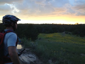
Returning to County Road 29, turn right for a short drive to reach Road M, then another right, to reach the Simon Draw Trailhead. Once again, I had the lot to myself. Unlike Phil’s World South, which had been filled with vehicles, neither of the two new lots had a single vehicle, which meant my rider-less bike would be modeling in my pictures.
The ride begins on Abbzug Loop, but you quickly peel off onto Doc Sarvis Loop. Both of these trails, with a total of less than five miles, are rated as beginner trails; however, they still make for a fun ride. Especially Doc Sarvis, which routes you along a canyon ledge with nice views, and some fun rock ledges to maneuver across. Doc Sarvis loops around to rejoin Abbzug for some smooth flow back to the trailhead.

At the time I rode this trail, the Hayduke Trail and Seldom Seen Loop trails were still under construction. According to Darling, these trails will be pretty technical and advanced as they wind along steep hillsides and big boulders of Simon Draw. There are also plans for another trailhead at N Road.
Last thoughts
The Phil’s World trail system has gone through a lot of great enhancements, and if you haven’t been there in a while, it is worth including in a future road trip. SWCCA plans to continue to grow the trail network to make this a mountain bike destination. While you are in the neighborhood, include another SWCCA trail in your plans, Boggy Draw, currently with seven miles of trail.


0 Comments