

So apparently this story is getting picked up all over the place and at first I was pretty excited at the prospects: Google Street View is expanding to hiking and biking trails. For those who are not familiar with Google Street View, it basically allows you to view locations on a map as if you were standing right there on the street (or now, trail). Google collects millions of photos using a vehicle mounted camera and GPS and stitches the images together to create sort of an online virtual reality experience. Sure privacy advocates aren’t too fond of it since Google is snapping pics of innocent bystanders and private properties but that’s another debate…
Anyway, it turns out Google just mapped and posted its first bike trail – a path in Monterey, CA. The article that’s floating around doesn’t give the name of the trail but I assumed it would be somewhere awesome like Fort Ord. Fortunately this website has located the elusive Google “Bike View” trail: it’s the (wide, concrete) Monterey Bay Coastal Recreation Trail that runs right through downtown. Ahhh, it’s that kind of bike “trail”…
The article mentions the rig that was used to get the trail shots is some sort of “trike” which I assume is necessary because the tech is so heavy (batteries, cameras, gps, etc.). Until the rig shrinks I don’t think we’ll be seeing any singletrack views anytime soon – though Google is said to be working on mapping “hiking and biking trails” in California, Italy, and the UK.
Ultimately this is a pretty cool development but I can’t see myself spending hours (or even more than 5 minutes) clicking through a “virtual trail.” I’d much rather be out there riding it!


3 Comments
Jun 26, 2009
Speaking of Street View snapping pictures of bystanders, on Google Bike Path View you'll see several bystanders giving Street View strange looks. (And you've heard of Street with a View, where a bunch of art students decided to have people stand in costume along the street as the Google Street View car came through in Pittsburgh, right?)
I can see this being very useful locally. When I'm having people meet me at certain venues that are on the bike path (like Wave Street Studios), it can be hard to explain exactly where they are. Now, I can hotlink to Google Bike Path View, or take screen shots!
They're saying they plan to shoot hiking trails as well. I think it's likely that the reason they chose this location is that it's very close to San Jose, has great views, has a low barrier to entry (it's wide and paved, rather than a serious offroad trail - a good way to start) and is far enough away from the road that you can't cover it with regular Google Street View (as you could, say, the bike path that runs through the San Fernando Valley and Burbank in LA).
Jun 26, 2009
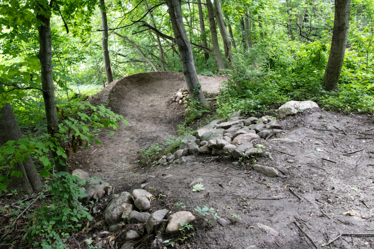
But, this could be very useful for highlighting navigational tricky spots on singletrack.
Would be great to link a view to your trails here at Singletracks saying "go left here" etc.
Jun 27, 2009