Greg Heil ✓ supporter October 13, 2017 If you're looking for something different that feels way out in the middle of nowhere, South Fern Leaf Gulch could be for you. But deep sand requiring a fat bike and rather uninspiring riding mean that this isn't all that great of a spot. Reply | Thank


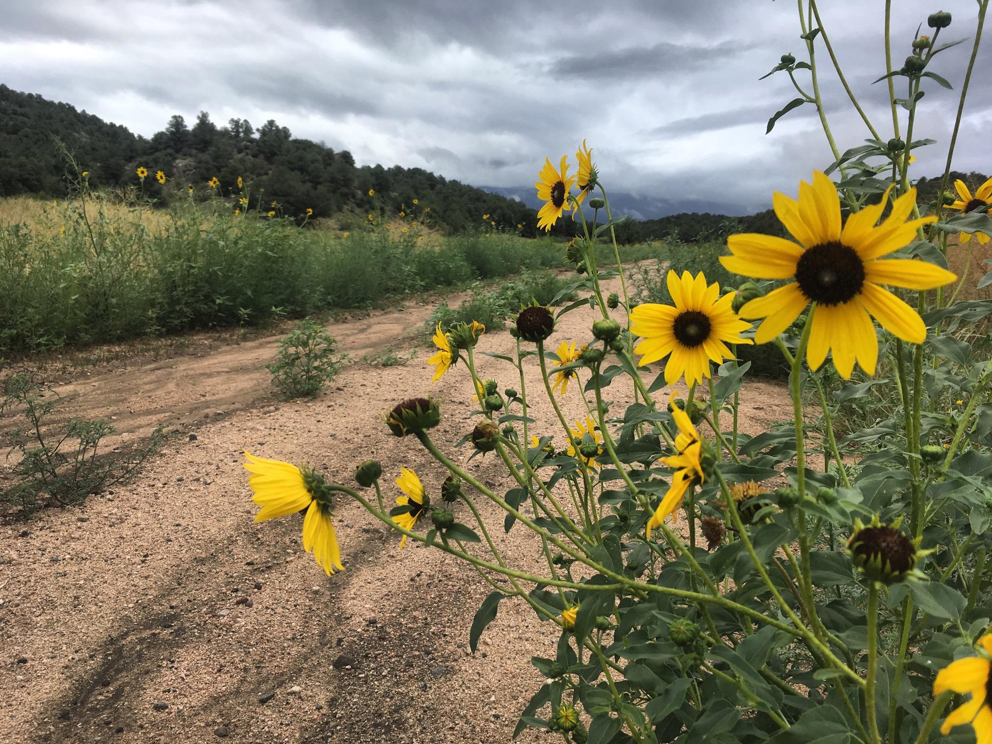

If you're looking for something different that feels way out in the middle of nowhere, South Fern Leaf Gulch could be for you. But deep sand requiring a fat bike and rather uninspiring riding mean that this isn't all that great of a spot.
| Thank