McCoy Gulch Road trail photo
×
User
Today
 
  |   Rate it:

Tags:
Level:
Length: 10 mi (16.1 km)
Surface: Fire Road
Configuration: Out & Back
Elevation: +973/ -954 ft
Total: 2 riders
 

Mountain Biking McCoy Gulch Road

  Add a review
#1,139 of 1,368 mountain bike trails in Colorado
#21,961 in the world

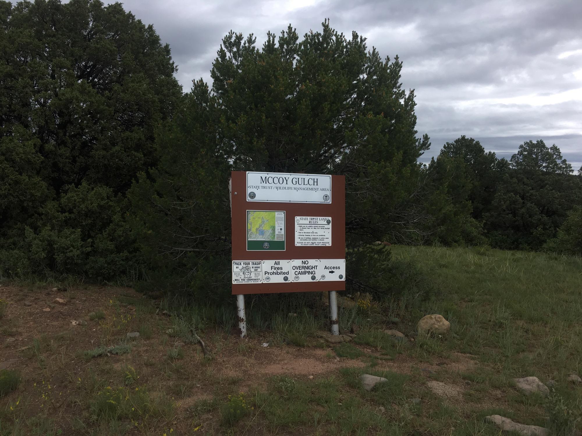
McCoy Gulch Road runs from Hwy 50 to Co Rd 1a, connecting to Fern Leaf Gulch and some other doubletrack routes along the way.

First added by Greg Heil on Aug 2, 2017. Last updated Apr 20, 2020. → add an update
Before you go
  • Drinking water: unknown
  • Lift service: unknown
  • Night riding: unknown
  • Pump track: unknown
  • Restrooms: unknown
  • Fat bike grooming: unknown
  • E-bikes allowed: unknown
  • Fee required: unknown
This trail information is user-generated. Help improve this information by suggesting a correction.
Getting there
CO


McCoy Gulch Road Trail map

Add to or improve this map // Share this map on your website

Local Info

Club Sponsor

-

Local Bike Shop

Trail checkins

Upcoming Events

None.
Add one

Trail conditions

(on Mar 28, 2024)
login to update

Camping & Lodging

Coming soon!

McCoy Gulch Road videos

Add a video
We don't have any videos of this trail yet. Add one here.

Mountain Bike Trails Near Cotopaxi, Colorado

| 1 mi
| 2 mi
| 2 mi
*
Beginner | 3 mi

Add a review

Rating
 
Difficulty
 
Review

Reviews

    Loading reviews...

Rider questions

Q: Is it paved
A: No, it's dirt, and some sections are deep sand.