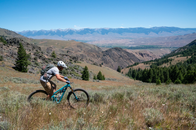
This is a fast shuttle run and there are two options. But first you have to get on
the trail...from the drop-off ride down the road about 100yds. The trail opens in
early June usually and will have deadfall until the local riders do some clearing
(or you do because you always ride with a saw in Idaho).
Add the Lower Williams/Perreau Creek Trail to the end of Powderhouse for a burly 12mile long, 4700' Idaho style descent.
There is no distinct trail leaving the road but you should see a sign saying
"Powderhouse Gulch". Look to the left beyond the sign for a gap in the trees,
the trail picks up here and is fast right away.
There is a fence and a gate on this upper section so be ready to stop quickly if
the gate is closed.
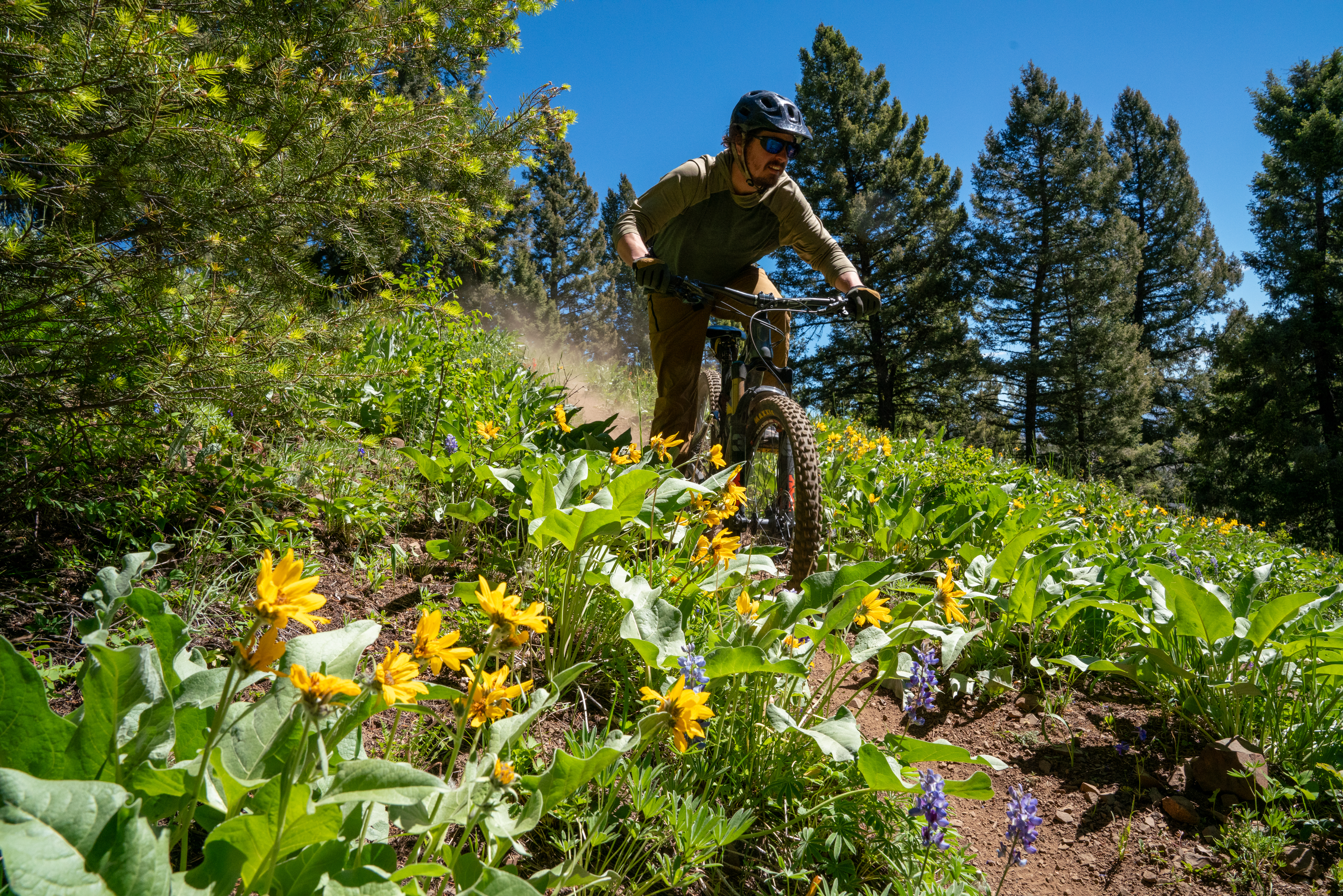
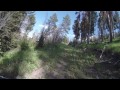
The upper section of trail is as fast as you want it to be, it then gets steeper and
sidehilly and rockier. The trees are tight enough to remind you of the
consequences and you then come to a small bridge and a stream crossing.
Continue down, there is a very short uphill, just long enough to take away your
momentum and you pop out at the small pond.
Option 1 (2.9 miles) - Powderhouse Gulch: Go left around the pond, across a
short boggy section. The trail is faint, follow tracks if there are any, just head
straight and the trail will pick up again. You will drop through the trees then
come to a very steep section with a waterbar. After this the trail levels out on
an old road bed and then quickly "T"s into another road. Here you should see a
rock cairn and some blue flagging in the tree, go straight across the road...
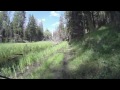
Option 2 (3.5 miles) - Powderhouse Meadow: Go right around the pond, it is
almost always wet along here, at the far end of the pond the trail heads up a
short climb. Follow the old road to the meadow and contour right across the
meadow where it enters the trees. This section is very "vegetated" and often
wet and route finding can be difficult...just look for the faint road cut and gaps
in the trees. The trail comes to a saddle and a fence and there is a great view of
the South Fork of Williams Creek from here. Turn around, the trail is again faint
but follows the right edge of the meadow down and gets more defined. Soon
the trail hits an old road and a couple switchbacks. Stay on the road until you
see a rock cairn and blue flagging. Hang a right leaving the road...
The trail crosses a short meadow and comes out on a lower road. Follow this
road until the trail leaves it on an obvious left. Here is one last ripping section
through the woods and you will be stopped by a small metal gate. Head
through and go left, cross the bridge soon after and you are back at Williams
Picnic Area.
We usually do multiple laps on Powderhouse and rotate drivers since each run
takes about as long the the shuttle rig does to get back down.
If there is time, throw in a shuttle run on North Mocassin Trail too.


 26
26