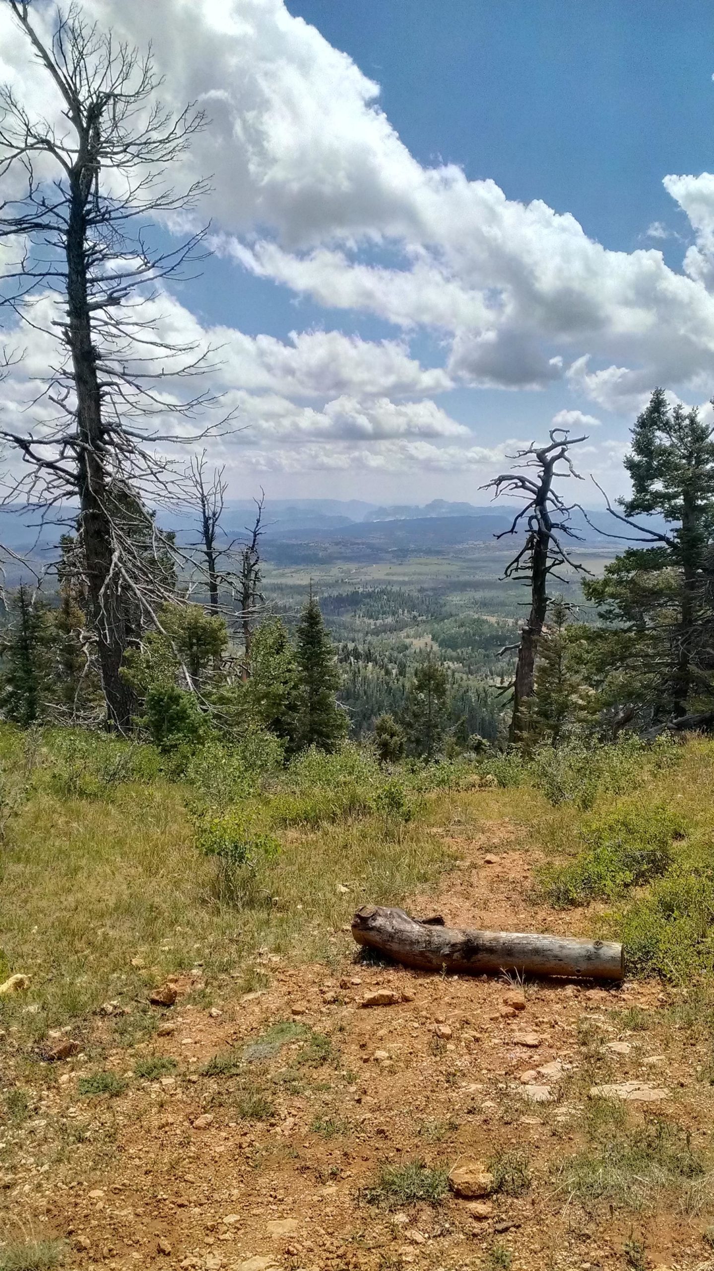
The trail loops around Navajo lake is as pretty level, only a 200' elevation change thruout the trail, by far the easiest section of the Virgin River Rim Trail (VRRT), where it's part of the loop. Views are alpine with lots of aspen and spruce. You can continue on the VRRT or use this as a destination for runs off 11,301' Brianhead Mountain.


 1
1
Camping here it was below freezing in the morning at the beginning of July.
| ThankThis is my new favorite trail. Our route ended up being 13.5 miles with 1200 feet of elevation gain. No crowds. Magnificent scenery.
7/18/15 update: This place is still awesome. Can't beat 50° in the middle of July!
| ThankFun, easy trail around the lake. Park at the far end and loop around the lake.
| ThankLots of trails to explore around cascade falls and part of the virgin river trail.
This is a fun little trail in a great setting. If you link this up with the Virgin River Rim Trail, you can make some longer loops on the VRRT which is a great trail with views of the Virgin River Drainage. The VRRT also has some more technical terrain with some climbing.
To get back to the lake, there a couple of connector trails from the VRRT back to the CG road. I like the Dike Trail.
| ThankNo cell service so you can't "check in". Very easy trail. I could only find one trail around one side of lake. Nice jaunt out of cedar city. Trail is at 9000 feet.
| Thank