×

|
Rate it:
Tags:
Level: Easiest
Length: 10 mi (16.1 km)
Surface: Greenway
Configuration: Out & Back
Elevation: +63/ -149 ft
Total: 20 riders
Mountain Biking Larkin State Bridal Trail
#29 of 113 mountain bike trails in Connecticut
This is a multi-Use Trail: bicycling, mountain biking, hiking, cross country skiing and horseback riding, in fact it's popular horse back riding trail, so watch out for those road apples!
First added by GreenGiant on May 21, 2007. Last updated May 3, 2020. → add an update
Before you go
- Drinking water: unknown
- Lift service: unknown
- Night riding: unknown
- Pump track: unknown
- Restrooms: unknown
- Fat bike grooming: unknown
- E-bikes allowed: unknown
- Fee required: unknown
This trail information is user-generated. Help improve this information by suggesting a correction.
Western end: Exit 15 off I-84, south on Rt.67 for .5 mile. Turn left just past the tennis courts (part of Southburyís Community House Park). Park here, cross Rt.67 and go .4 mile down Jeremy Swamp Rd. to the trail.
From Rt.18: Exit 16 off I-84, south on Rt.188 (Strongtown Rd.). Go @1.5 miles. Rt.188 crosses trail before intersecting Rt.67. Trail marked by small sign. Limited parking along Rt.188.


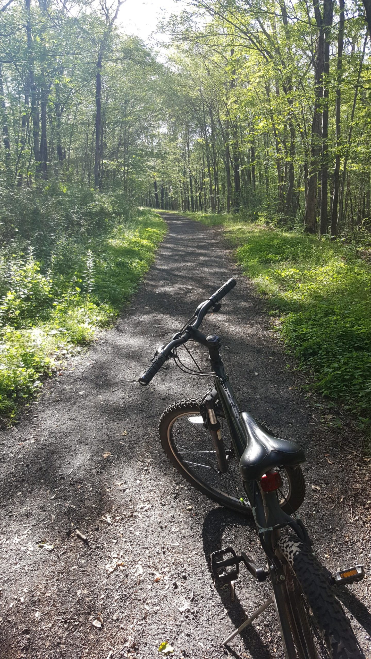

If you're looking for a wide flat trail then this is it. For the most part,very well maintained. Ran into one flooded area that required you to go of off-roading. Other than that I was able to move quite fast along the entire route.
| ThankOk, it really isn't going to attract 'serious' riders, but(!) if you. Want to take someone on a nice easy exposure to riding on anything other than asphalt - this is a great place to take them. The actual trail is longer than what is listed on Singletrack. The northern/western end is actually on Kettletown Rd.. The southern/eastern is by Whittmore Glen park in Naugatuck.
There is a portion that is private from Towantic Hill Road east to Long Meadow Pond Road (Griswold Road). This just happens to be at the top of a large hill.... You can detour on the streets and pick up the trail again, or turn around here...
Seriously easy except for some sandy areas that are just plain annoying (I hate sand pedaling). So if you want an easy ride, this is the place to go.
| ThankEasy, good beginner trail.
| ThankGreat trail for a family with young kids just getting into the sport of mountain biking. Ample parking during weekdays off of 188 near the Fire Department. Double Track throughout, little - if any debris. * Review edited 8/8/2011
| ThankThis is a nice wide flat trail, it is great for an easy ride.
| Thank