The start of the ascent to Georgia Pass on County Road 37, near Jefferson, CO.
Georgia Pass is a spectacular, high altitude (11,585′) mountain bike paradise with trailhead access from both US-285 (SW of Denver, CO) and the town of Breckenridge. It has spectacular close up views of Mount Guyot, the Breckenridge mountains and the South Park plains. The best season to ride there is late July through September – or anytime before the first snowfall.
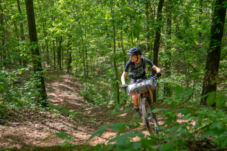
Views while climbing through the forest up the Colorado Trail.
The most popular ascent route up to Georgia Pass is the 6 mile section of the Colorado trail that starts on County Road 37 at Beaver Ponds Picnic Area, near Jefferson, CO. Pedal onto the Colorado trail and go down, over a bridge, and then begin a long climb up some fairly steep, rocky and rooty – but still mostly rideable – tread. Pace yourself and keep truckin’ up, up, and up for approximately 4-5 miles until you break through the tree line… and continue up onto thin singletrack rolling through high altitude meadows. Above the tree line the trail is less technical and also less steep.
A view of Georgia Pass from the edge of the treeline.
There are a couple of options at the top of Georgia Pass. You can park your bike and hike over the grassy meadows for a spectacular, ultra-close view of Mount Guyout (13,297′) or just lay in the meadows, eat a Clif bar, soak in the sunshine and catch your breath – feeling high as the sky.
You can ride off the Colorado Trail and take the 4×4 Jeep roads just below the pass to spectacular cairn-marked vistas above the pass. However, the 4×4 roads can be extremely steep, rocky and loose in sections – and the altitude can really kick in, making these tracks a grueling technical skill test.
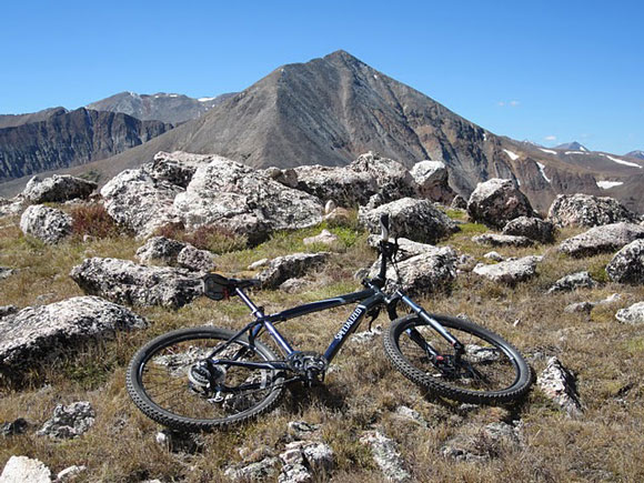
Mount Guyot, close enough to touch, from the top of Georgia Pass.
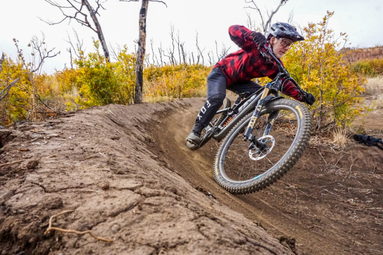
On the way down you can re-trace your route back to the Colorado trail. The ride down is an all-out scream, an exhilarating, fast descent through the rolling meadows of the High Country and the thick evergreen forests. Enjoy the ride (full suspension recommended) but be careful of other riders coming up as some of the turns and corners are pretty fast and fairly “blind.”
Colorado Trail marker pole at the top of Georgia Pass
You can also take an alternate route down at an obvious junction just below Georgia Pass. Take a left and go down the West Jefferson Trail which is a steeper, more technical, and less-traveled descent. The West Jefferson trail dumps you out in the middle of the Lodgepole campground. Make your way through the campsites and take a left onto County Road 37 and pedal up a bit until you rejoin the Colorado Trail at Beaver Ponds Picnic Area.
Above Georgia Pass, looking back towards Mt. Guyot
This ride is considered by many to be one of the very best in the Front Range of Colorado! It richly rewards all of the effort you’ve put into training during the early season. The beautiful scenery and high-altitude sunshine (on a good day) is well worth the driving and the cranking it takes to get up there.
Access from Denver: Drive approximately 69 miles SW on US-285 to the small town of Jefferson, CO. Turn onto County Road 35 and go about a mile, then make a right turn onto county road 37 towards Jefferson lake. Pay the $5 federal recreation area fee and go about another mile past Lodgepole & Aspen campground. Park at “Beaver Ponds Picnic Area” which is on the left hand side of the road, just past a Colorado Trail sign. From here it’s 6 miles UP to Georgia Pass. (Most people choose to take the 24 mile route from the top of Kenosha Pass – which is recommended for intermediate-to-advanced mountain bikers who are in shape.)
Access from Breckenridge: Drive up Tiger Road approximately 3 miles out of town until you see a dredge boat on the left side. You can get on the Colorado trail shortly past this point… but the climb is very long and gnarly. You can keep driving up Tiger Road and access the Colorado Trail at the “middle fork” and the “north fork” where the Colorado Trail crosses the road. Ride up the Colorado Trail to Georgia Pass.
About the Author: Brett Borders is a direct response copywriter, snowboarder and mountain biker living in Denver, CO… and loving every minute of it!





1 Comments
Oct 13, 2011