×

|
Rate it:
Tags:
Level: Intermediate
Length: 20 mi (32.2 km)
Surface: Singletrack
Configuration: Network
Elevation: +1,025/ -934 ft
Total: 41 riders
Mountain Biking Tillamook State Forest
#27 of 306 mountain bike trails in Oregon
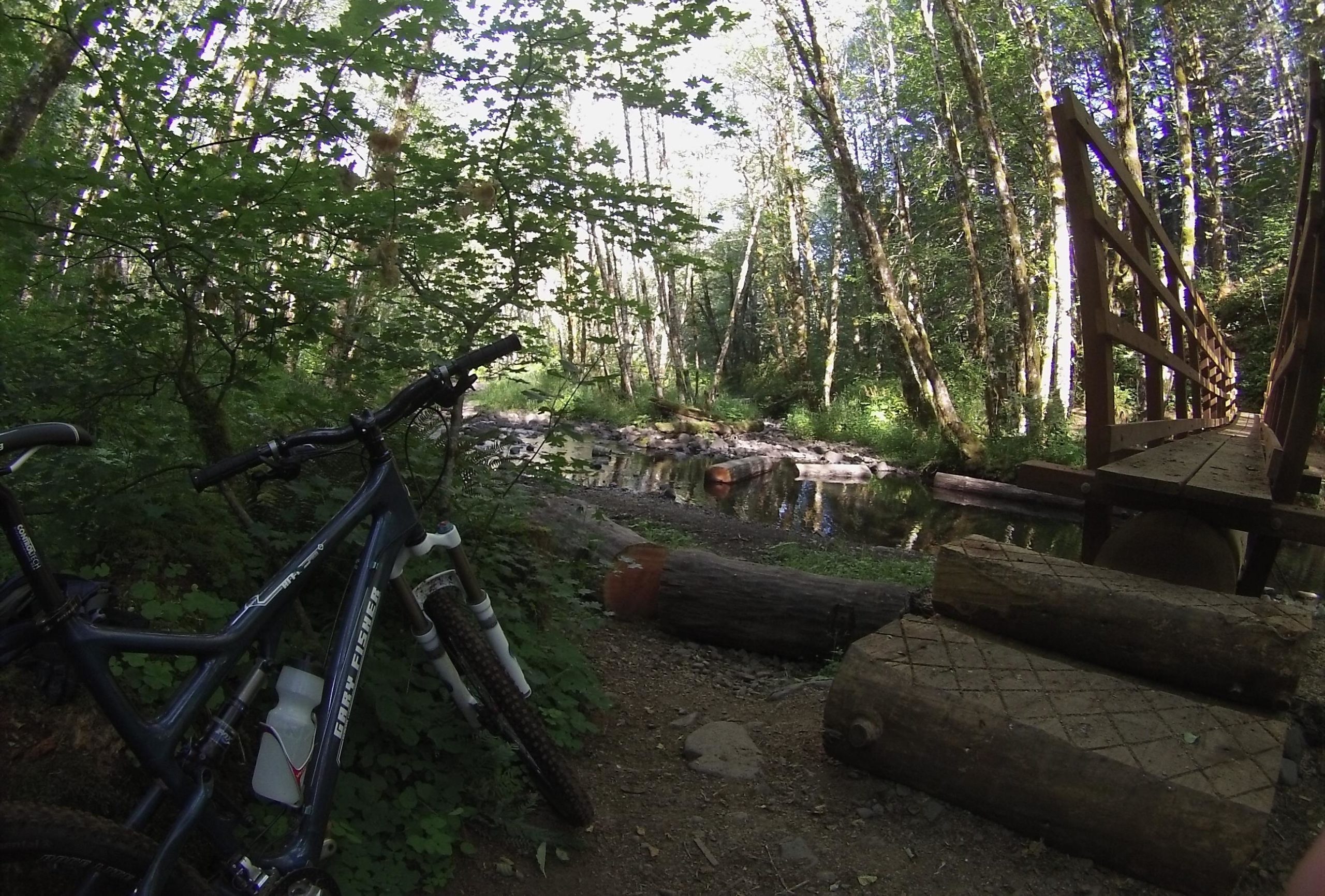
Singletrack loop plus a few out-and-backs overlaid on a huge network of ATV trails. The trails and trailheads are well marked and there are miles of forest roads that can be connected to make short or long loops.
The trails are mostly fast and smooth, though you will find sections of rocks and roots in places. Lush forests surround you as you climb and descend moderate slopes which can be steep in places (though never sustained).
First added by Jeff Barber on Jun 17, 2011. Last updated Apr 30, 2020. → add an update
Before you go
- Drinking water: unknown
- Lift service: unknown
- Night riding: yes
- Pump track: unknown
- Restrooms: unknown
- Fat bike grooming: unknown
- E-bikes allowed: unknown
- Fee required: unknown
This trail information is user-generated. Help improve this information by suggesting a correction.
From Portland, take US 26 west to Hwy 6. Take Hwy 6 west toward the town of Tillamook. Multiple trailheads can be accessed from the pass off Hwy 6 (look for signs for Rogers Camp / Browns Camp / Storey Burn).
System trails (3)


Loading reviews...View more