The William Hastie Natural Area is a small park featuring a little bit of everything. The Sink Hole trail offers some more "techy" stuff with bridges, rocks, and mud. The View Park Trail offers some steepish climbs with large rocks to navigate, but also the occasional rhythm section; a real holistic trail. The Yellow Jacket (starting from the West) begins with a nice, almost pump-trail type section for a long stretch which allows you to get some speed and zone in. However, shortly you'll find yourself on the Hard Labor Trail, which to me was just like it sounds. You'll be rewarded for the uphill switchbacks and hard climbing in the end, but it seems a good haul up the mountain in the beginning. Running up the gut of the entire system is the Margaret Trail, which is a "flat" gravel path that offers access to most all of the trails. A short downhill (or uphill, if you choose the wrong way like I did) trail is the Rock Ledge trail (at least, I hope that's the name of it... correct me if I'm wrong. I don't spend a lot of time on this one).
The route I like to take best is to hit Margaret Trail up to Sink Hole trail in order to hit a boarded jump over a split rock without having to double back (you can bypass it). This will land you back in the parking lot. I then liked taking View Point Trail, taking some time to mess around on the "log jump obstacle", before connecting with Yellow Jacket and eventually the Hard Labor Trail, finally bombing down Margaret Road back to the trailheads (or Sinkhole again, if you aren't too worn out!).
(I hope I'm not stepping out of line by posting this. These trails we're made before I arrived here by the Appalachian Mountain Biking Club!)
 | Victor Ashe/Marie Myers park | 2 mi |


quick loop, pretty fast and fun
| Thanksmallest party of urban wilderness. pretty straight forward single track, into valley and grand switchback back out. I did it as part of the big arrow head blazed loop, over twenty miles in, had to dig deep. park is tranquil.
| ThankA little wet today in spots but not excessively so. Great day to ride today. Seem to have some new trails open compared to last year.
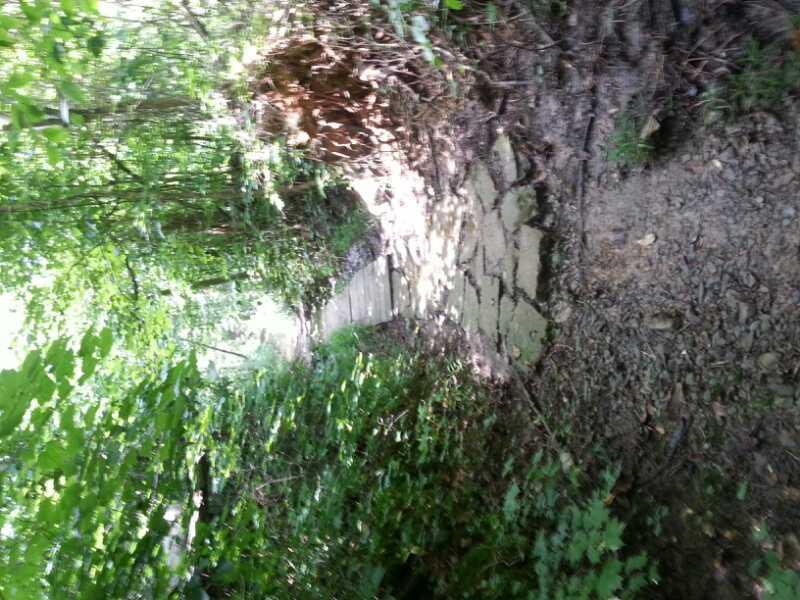
| ThankTrail was easy enough to find. It had rained the day before so it was still pretty wet. Part of the trail system sits in a low spot which keeps it pretty muddy. The trail entrance via Margaret is fairly overgrown with thorn bushes starting to cross the trail. A little bit of everything here, exposed rock, ledges, sketchy slopers (especially when wet), roots, and some areas that allow you to get up some speed.
Trail is very well marked and easy to navigate.
| Thank