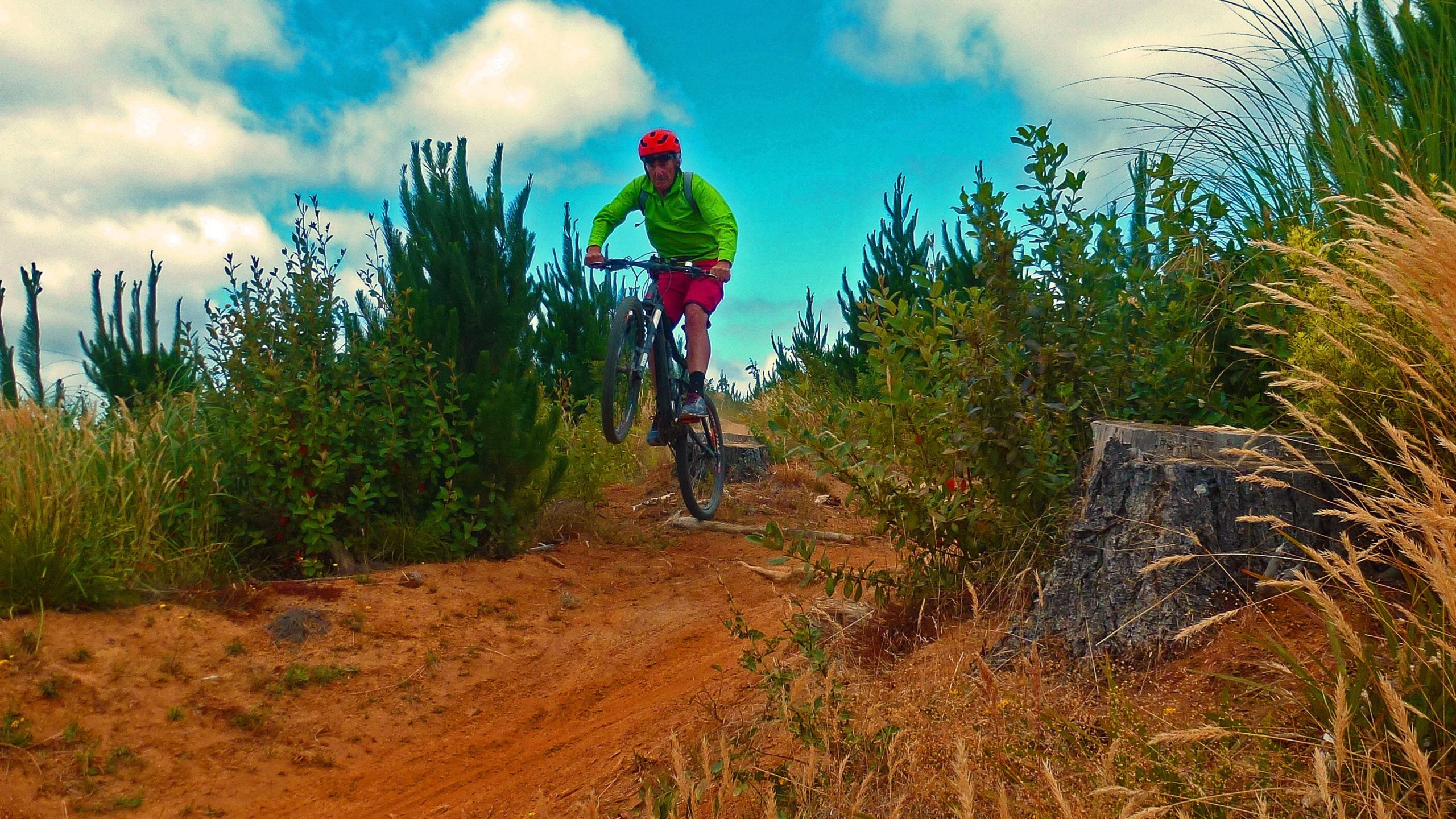
The Whangamata Ridges Mountainbike Park is set in a commercial pine forest. You mostly gain altitude on forestry roads and go down on purpose built singletrack. The singletrack is generally good fun, and there is a good range of grades although most trails are intermediate or advanced.
You'll need a permit and a map, available at the Whangamata Information Centre or at Whangamata Cycles. They're a busy club actively building new trails so the map will probably be out of date. Don't worry, there is a map board at the carpark which is about 100 metres into the forest from the park entrance. That could be out of date too but it's not hard to find your way around. There are signs on all the tracks. Just head up Causeway Road - half a dozen trails hang off it and they're all great new trails full of fun features like swooping berms, table top jumps (easy angle take-off on the intermediate trails), and on. You'll end up back at the car park or you could use the up hill track called Jelly Fish.
There are bunch of old school tracks to the north of the park - off Otuwhetu Road, Loop Road etc. They're fun too especially if you like your trails more remote. There's a lot of road riding between them. Most people stick to the Causeway Road trails.
There's a long natural trail called Bullock Track, suitable for advanced riders, in the valley behind the park. This track was described as follows by Stu Lill in the Singletracks blog, www.singletracks.com/blog/mtb-trails/embrace-the-unknown-take-a-trip-to-new-zealand/ ...
"The Bullock Track is the jewel in the crown and definitely the best bit of backcountry in the area. An old track used by miners to access the Luck-At-Last Mine, the trail heads out into the hills, winding around old disused mines and waterfalls, finishing up somewhere outside of the mountain bike park. With roots, hidden rocks, and exposure, it's one of those trails where riding well within your ability is wise, as it's a decent pedal back to civilization... but certainly worth the effort for the fantastic natural riding."
After your ride be sure to sample Whangamata's famous surf beach, renowned for it's crystal clear waters, sparkling sand and nice waves. The local night life also sparkles in summer...
 | Bullock Track | 13 mi |


Was a great park to ride in. The signage could be better. Molder/brighter would be better!!
| ThankIf you like a good workout combined with great singletrack, historical trails, coastal views, pine forest, river valley, technical trail, fast flowing trail, archeology, heritage and interesting historical relics then the Bullock Track is for you!!! You'll be either sweating or smiling all the way - it never gets boring! You'll get height, a feeling of remoteness and heaps of satisfaction. You do need to be fit and able to handle a grade 4 track. By the way, I'm talking about the whole loop, not just the 4km section that is the Bullock Track proper.
| ThankLogging is complete and the park is open again although a few trails remain closed
| ThankClosed due to logging operations till mid 2017. Check for an opening date at the Whangamata visitors centre.
| Thank