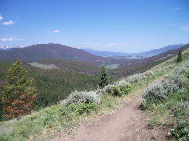
This loop is actually several trails which all connect to each other and form the loop. Start out riding up Keystone Gulch. You will climb gradually on this fairly well maintained dirt road for about 4.5 miles. Just after the road veers left, after the third chairlift, look for a road taking off to the right near a large maintenance building. There is a sign here but the day I rode this it was wrapped in plastic and leaning against a tree. At about 5 miles and crossing two ski runs, take the road to the right. Look for a round sign with a blue arrow. There are also bright red signs with bicycle symbol on them marking the trail. Many of these signs however are in disrepair so don't rely on them, but if you do see one you will know you are on the right trail. At this point the trail goes down through a meadow and accross a very small stream. After you cross the stream begin the climb up the westridge to the Colorado Trail. After about three miles the trail intersects the Colorado Trail. At this point you should see the markers (a triangle symbol) identifying the Colorado Trail. Take the sharp right here. Meander across the westridge for a few miles and stay left at the next fork (appx. 8 mi.) If you go right here you will go back down to Keystone gulch. From here the Colorado Trail begins it's long and fast descent toward Breckenridge. After a couple miles descending, the Colorado Trail will make a VERY sharp turn to the left and Red's trail will be the straight option. I believe there is a post at this intersection. Go straight onto Red's Trail and follow the narrow singletrack along a steep hillside and eventually back into the forest. After a few more miles this trail will terminate with a choice of dirt road to the left or more singletrack to the right. Take the single track to the right which is Keystone Ranch Trail. Follow this trail for a few miles. The golf course will be on your left. Cross a few roads and this trail will turn into the Aqueduct trail. Follow the aquaduct trail around the mountain and back to Keystone gulch. Once you come out on the road turn left back to your car.

Loading reviews...View more