×

|
Rate it:
Tags:
Level: Intermediate
Length: 5 mi (8 km)
Surface: Singletrack
Configuration: Out & Back
Elevation: +234/ -289 ft
Total: 47 riders
Mountain Biking West Side Trail
#14 of 123 mountain bike trails in Maine
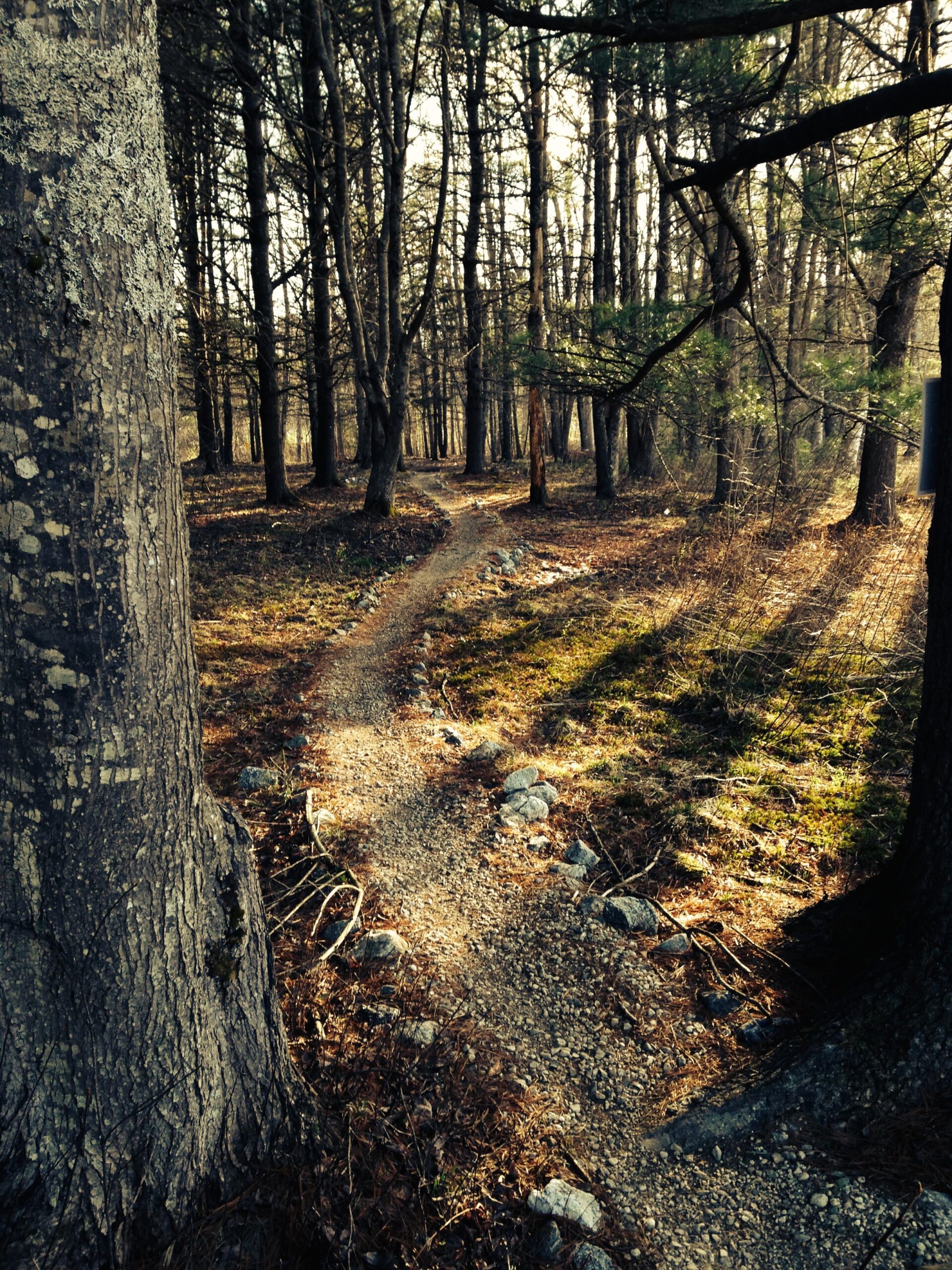
Great singletrack trail stretching from Cousin's Island to highway following CMP power line corridor. Most of trail is on edge of wood line & not out in the open. Not super technical & not lots of elevation, but very fun riding...Fast & Flowy type of riding, lots of bridges with some twisty trail sections. Some sections of trails recently completed with help of NEMBA., Future plans for adding more trails on both ends of network...Follow progress on https://www.facebook.com/YarmouthTrails. Easy riding that is not boring.
First added by sssirois on Oct 15, 2013. Last updated Apr 28, 2020. → add an update
Before you go
- Drinking water: unknown
- Lift service: unknown
- Night riding: unknown
- Pump track: unknown
- Restrooms: unknown
- Fat bike grooming: unknown
- E-bikes allowed: unknown
- Fee required: unknown
This trail information is user-generated. Help improve this information by suggesting a correction.
Multiple Trailhead locations: 1. Route 1 @ TylerTechnologies, TH found in top parking lot, 2. Parking at Fels-Grove preserve (Route 88, turn for Cousins Island, preserve on right off Gilman road)


I'm fairly new to the Portland area, so I started my riding (evening workout) at Bradbury Mtn. and I grew tired of the place really quickly (there isn't much flow). I still haven't made it to Blackstrap... But... This trail though! I'm in love with it. It's easy. There are some mildly tricky sections if you are a beginner rider, but you can easily hike around those parts. What gets me excited about riding here however, is the variety. I always park in the upper parking lot on Tyler Dr. right off of exit 15 on 295. From there I follow the blue trail in the woods. From the woods it winds in and out of fields and powerlines, and back to woods, and then takes you over the bridge to Cousin's Island... and then back through the woods to the Power Plant. Turn around there and go back through the woods. It's a good 10 mile out and back if you stay on the blue trail (pretty flat most of the time: the steepest grade is 15%). But I usually pick up the orange and yellow routes on the way back to add a bit more milage. They're all really good trails. Fun and well maintained. I ride here a lot during the week!
| ThankI had a fantastic time on this fun trail today. My round trip was 12 miles and on about half of my way back I even took alternate trails! It is extremely well marked.
| ThankThere are fast sections and some more technical ones. A great variety of scenery from woods, to fields, to ocean. There are also many options for hiking along the trail (no bikes allowed on those). And you can even go for a swim in the ocean on Cousin's Island! If you have the energy, you can bike to the neighboring Liitlejohn Island and hike the pretty preserve there (bring a lock). Easily can make a whole day adventure here! :)
Had a fantastic ride today, 12 miles round trip. It is extremely well marked and fun! There are some fast parts and some more technical ones. There are also many opportunities along the trail for hiking (no bikes allowed). And you can swim in the ocean on Cousin's Island! Easily can make it into a day long adventure :)
| ThankReally, really muddy when my 9yo daughter and I went today.
Rootier than Bradbury, and all around more difficult (especially with the mud) - especially for my daughter.
I can see this being a decent ride for an intermediate rider looking for some flow - when it's nice and dry.
| ThankReally lovely Maine ride. Nice length, intermediate to beginner and all single track and amazing ride along and ending at the ocean on Cousins Island. When the trail ends, take the road for a couple hundred yards for the view.
| ThankAs many have stated, there is not a ton of elevation and the "gnar" factor (for those of you who are looking for it) is next to none. BUT, the system is improving all the time! There are a few new side trails being cut and extensions to some of the more popular main trails being added all the time. A fun alternative to Bradbury if you are in the area.
The single track is fairly smooth, less rooty than the aforementioned Bradbury. Tons of small bridges and lots of trail armoring so it rides fairly dry. Props to the GPNemba chapter for all the hard work.
| ThankSome sections of this trail are fun and some are not so much. Wouldn't call this an "easy trail" as some sections are technically very challenging. The best riding is between the island and Princess Pt along the "meadow" power line corridor. Good trail but novice riders be careful, I took home some good bruises for souvenirs.
| Thank