×

|
Rate it:
Tags:
Level: Intermediate
Length: 6 mi (9.7 km)
Surface: Singletrack
Configuration: Loop
Elevation: +989/ -909 ft
Total: 42 riders
Mountain Biking Viper
#131 of 1,005 mountain bike trails in California
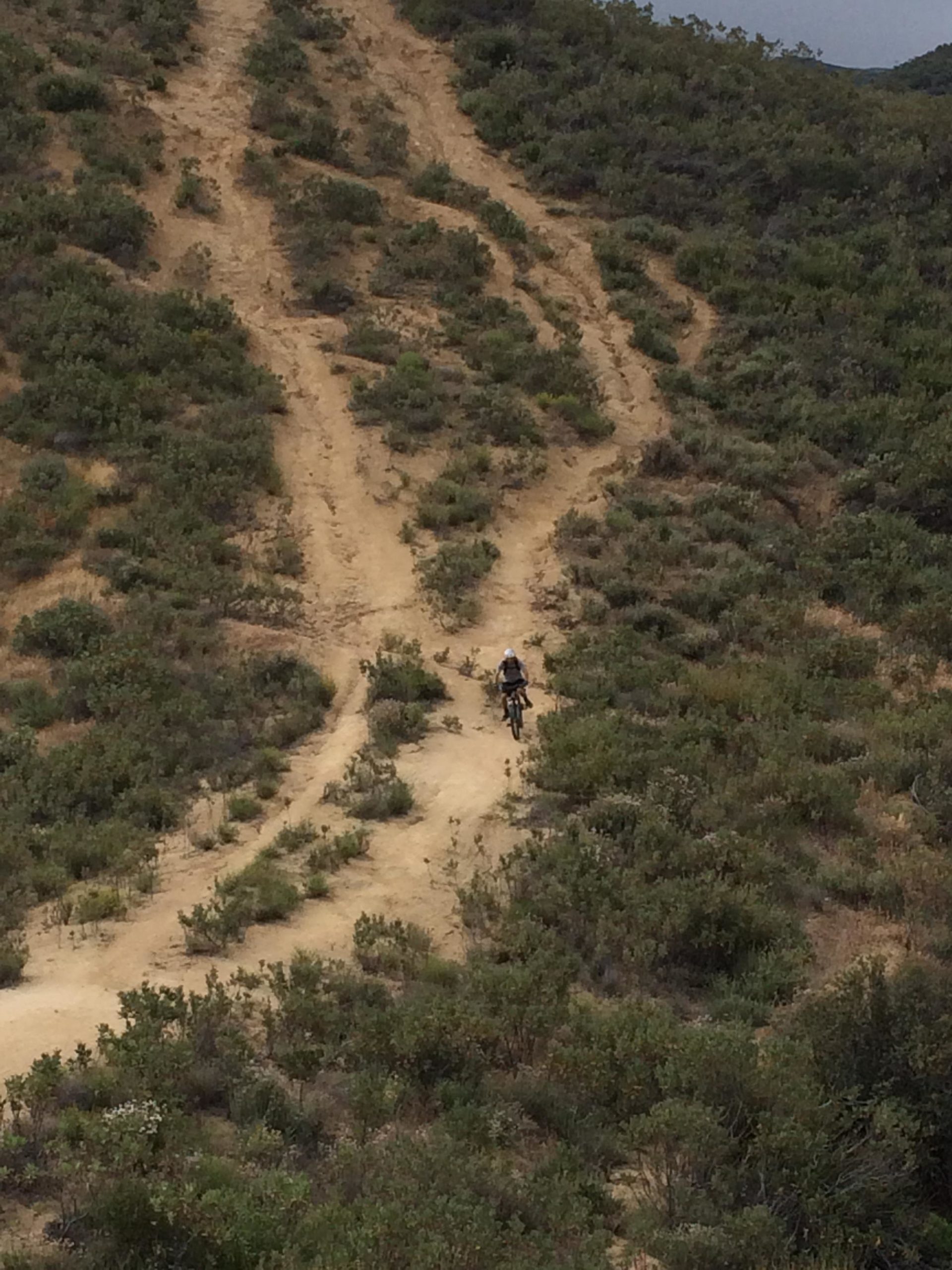
This trail is difficult. Considered the hardest trail in santa clarita and one of the longest. You sart at the parking lot and climb the fireroad for 4 miles then once you stop climbing and you hit the platuea just keep going straight. the entrance isnt marked yet but i will put 2 red flags there to mark it. If you hit the bathroom then you went to far. Remember it starts at the platuea. This trail will take you all the way back to the parking lot.
First added by Altitude30 on Mar 20, 2010. Last updated Apr 28, 2020. → add an update
Before you go
- Drinking water: unknown
- Lift service: unknown
- Night riding: unknown
- Pump track: unknown
- Restrooms: unknown
- Fat bike grooming: unknown
- E-bikes allowed: unknown
- Fee required: unknown
This trail information is user-generated. Help improve this information by suggesting a correction.
Exit at newhall Ave off the 14. Then park at the rideshare lot right next to on and off ramp. Parking might be tough. You can park at the carls jr. For those who live in santa clarita just go to the end of Newhall ave.


Loading reviews...View more