This trail has lots of problems with hikers be respectful or this trail will be lost. There used to be a box with bells to wear while you rode down it to warn hikers but last time it was empty bring a bell and use it. Be careful this trail has been known to be booby-trapped. Try and ride it during the week to avoid the crowds and hikers.
Look for the metal Tunnel trail sign and play around on the little hills before starting down the trail. This is a 6"+ full suspension rig with armor if you really want to enjoy this trail and not end up in the hospital or walking a bit. Check the pics last time I rode it I didn't bring my armor or downhill rig.
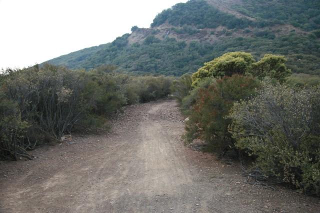
The trail starts off easy and you wonder why do I need a downhill bike don't worry the rocks, swtichbacks and drops come quickly. Did I mention rocks, the hard kind that hurt, cut and break things? The best way to ride this trail is as a shuttle. If you don't shuttle it you will pay on the climb up about 3500' in 10 miles or so.
Stay on Tunnel do not go onto Rattlesnake cutoff trail as it is off limits to bikes. Follow the dirt road down to Tunnel Road and hopefully your car if not. Go down and turn right on Mission Canyon, turn left onto Foothill, turn left on Mountain, turn right on Gibraltar and keep climbing up and up until you get to West Camino Cielo where you go left and one misely mile more and you are back at your car.


If you ride the entire trail, it's really steep and narrow. If you rode just the lower section that is loopable (it's a word) you still experience some of the larger drops but without needing to be shuttled and you won't need a 6" full suspension bike or the body armor. Regardless as to which part of the trail you opt for, please remember the bike bell.
| Thank