×

|
Rate it:
Tags:
Level: Beginner
Length: 1 mi (1.6 km)
Surface: Fire Road
Configuration: Network
Elevation: -
Total: 2 riders
Mountain Biking Sumac
#686 of 1,015 mountain bike trails in California
The Sumac "trail" is part of the crucial time from the bottom lot to the top of the ridge, accessing all of the singletrack. While Turnbull Canyon Trail below climbed at a pretty mellow rate, Sumac gets progressively steeper and steeper as you near the top, making you really earn your turns back down!
As for the tread, it is an old fire road that is gravelly down low and turns to old busted up pavement higher up.
First added by Greg Heil on Jul 9, 2012. Last updated Apr 28, 2020. → add an update
Before you go
- Drinking water: unknown
- Lift service: unknown
- Night riding: unknown
- Pump track: unknown
- Restrooms: unknown
- Fat bike grooming: unknown
- E-bikes allowed: unknown
- Fee required: unknown
This trail information is user-generated. Help improve this information by suggesting a correction.
Part of the crucial climb to the top of the ridge.
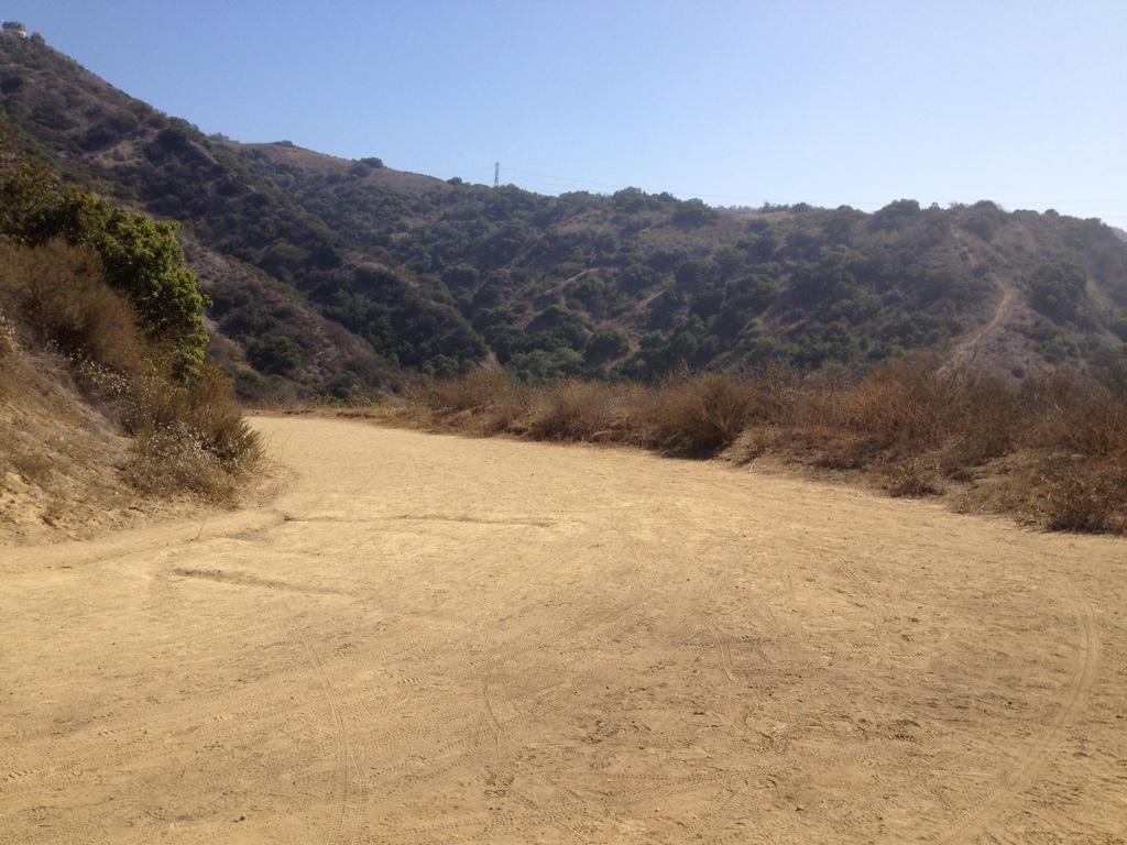

Not all that fun, but you've gotta climb it to get to the top
| Thank