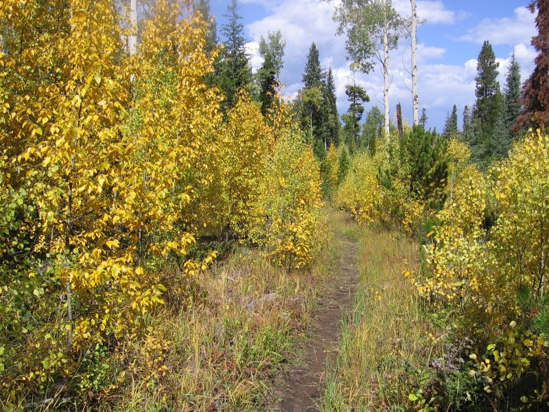
Some singletrack is a cut above the rest. This was a sweet ride. Most of the lodge pole pine in the area has either died or is dying. There are beautiful alpine meadows and thick spruce forest with lots of aspen.
Follow the road behind the High Lonesome Hut sign. Continue past the hut. Turn left at the first turn to Doe Creek .Follow this singletrack along a fence line to Doe Creek Trail. Ride Doe Creek Trail to Arapaho Bay Road. Doe Creek Trail is about 4 miles mostly smooth singletrack a couple climbs a little hike-a-bike and a couple really fun descents. Turn right when you reach Arapaho Bay Road ride a couple miles to Strawberry Lake Trail. I missed the turn there is no sign. Watch for a steep trail that takes off on the right between mm 7 and mm 8 this is Strawberry Lake Trail. It's about a 30 minute hike-a-bike up to the top. When you reach the T intersection at the top Turn right take Strawberry West Trail Back to your vehicle. The lollipop is probably better ridden in the other direction but Strawberry Lake Trail is not marked and kind of obscure. The Strawberry trails can also be ridden as an out and back for an easier ride.


This is a fun trail, very difficult for the weak. There were a few points on this trail where brakes didn't help much so be prepared for that. Two trees have blocked the path just before the Strawberry Creek trail but alt paths have been formed. I only saw one person the entire day which made for a peaceful adventure.
| Thank