×

|
Rate it:
Tags:
Level: Advanced
Length: 15 mi (24.1 km)
Surface: Singletrack
Configuration: Network
Elevation: +112/ -135 ft
Total: 10 riders
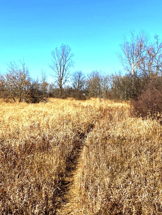
Mountain Biking Stony Swamp Conservation Area Trails
#105 of 317 mountain bike trails in Ontario
The Stony Swamp Conservation Area offers the greatest diversity of trails and activities, including: interpretive exhibits on geology and natural history; wetland boardwalks; a winter bird-feeding station; historic sites such as the Lime Kiln; and portions of the Rideau and Trans Canada trails.
Trails in the area include:
Bell Park, Bruce Pit, Jack Pine, Lime Kiln and Old Quarry trails.
First added by Icyrus on Nov 16, 2014. Last updated May 1, 2020. → add an update
Before you go
- Drinking water: unknown
- Lift service: unknown
- Night riding: yes
- Pump track: unknown
- Restrooms: unknown
- Fat bike grooming: yes
- E-bikes allowed: unknown
- Fee required: unknown
This trail information is user-generated. Help improve this information by suggesting a correction.
Stoney Swamp is bordered to the north by Robertson Road; to the east by Highway 416; to the south by Fallowfield Road and to the west by Eagleson Road. Numerous Parking lots off those roads.
System trails (5)


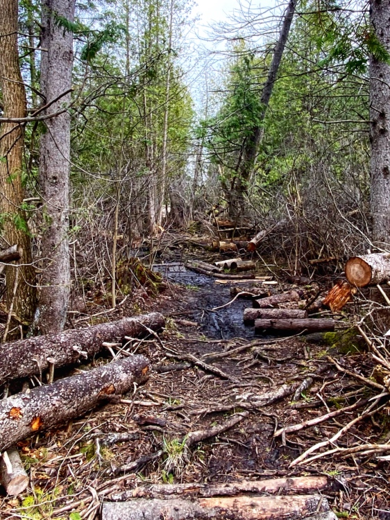
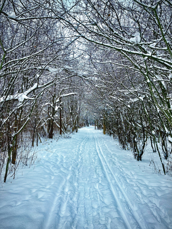


Deep and loose fresh snow with some areas slightly passed on by snow shoes , ski ‘s and hikers
| ThankToo much fresh snow , too deep to ride but dog walkers are doing their job
| ThankAppears to be lots of new side trails
| ThankSome wet spots
Through with a gravel bike
| ThankWet terrain due to recent rain and some wet snow . More new trails found
Lots of trees down due to recent wind storm
| ThankWet and muddy due to recent rain
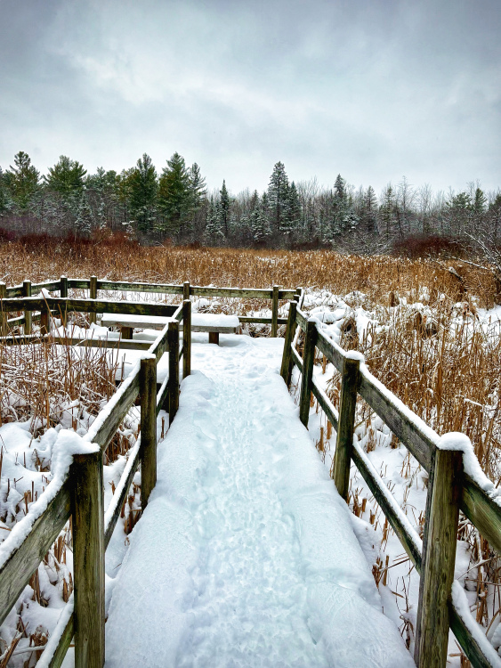
| ThankGreen belt area pathways not clearing only packed down in some sections
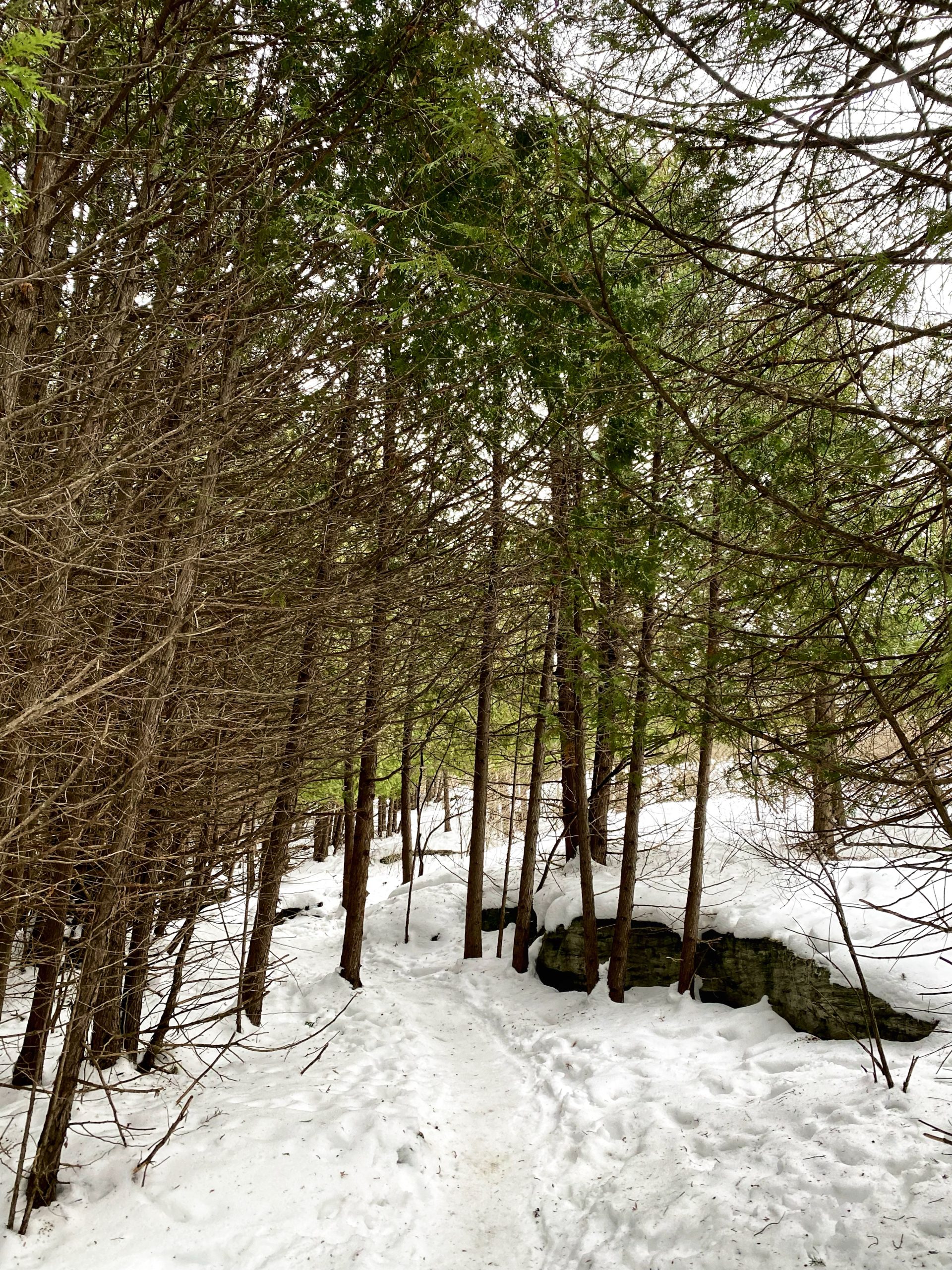
| ThankBruce pit well packed for fat tires
Bells corner area
| ThankMore flat rock with ledges
Freeze cycle starting
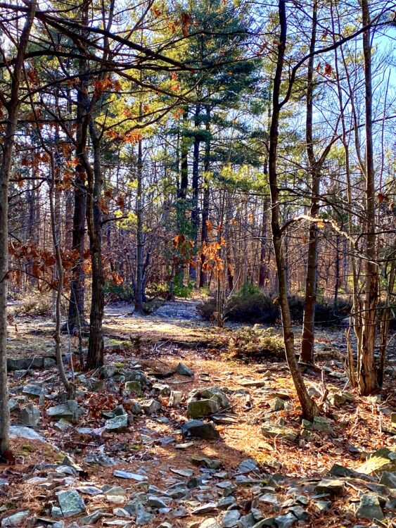
Gravel bike on the rocks , variable conditions
| ThankHard packed pathways due to the many hikers , soft shoulders
| ThankExcellent conditions
Many new trail additions in Stoney swamp area close to Eagleson.
| ThankSlightly wet due to recent rain
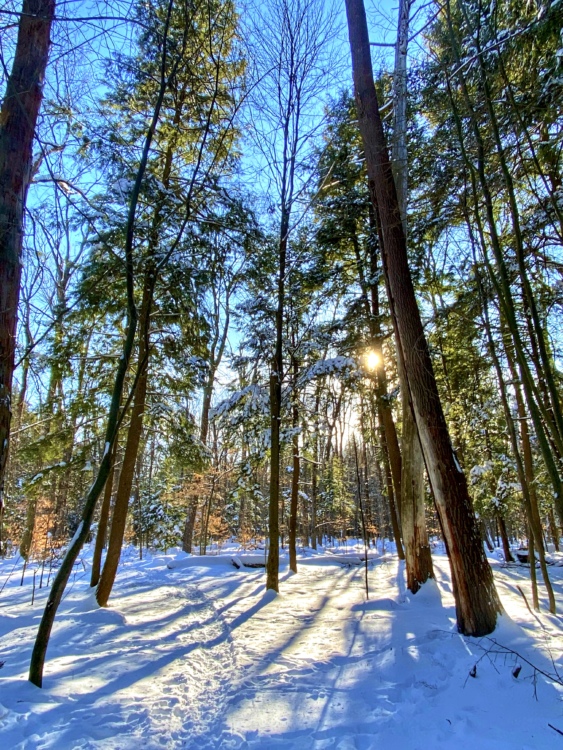
Hard pack snow surface with frozen foot prints through out . Fs fat bike took off the roughness. Deep snow along the edges if you have to put a foot down
| ThankHard packed and dry
| ThankHard packed and dry
| ThankPerfect winter conditions with cold -10c temps
| Thank. Plenty of foot traffic and Fat tires packing the trails down to highway like conditions . Fs fatbike took the edges of the bumps resulting in a fast ride for winter
Pretty basic trail. Great for beginners.
| ThankFun basic single and double track trails. If you stick to the actual tracks they are pretty boring double tracks with lots of people, but if you get off the beaten trail you can have some fun on some basic to intermediate tracks. The key is taking the trails that aren't marked.
| ThankGreat trails for beginners or if you are looking for a quick blow off some steam ride after work.
| Thank