×

|
Rate it:
Tags:
Level: Advanced
Length: 20 mi (32.2 km)
Surface: Singletrack
Configuration: Other
Elevation: -
Total: 5 riders
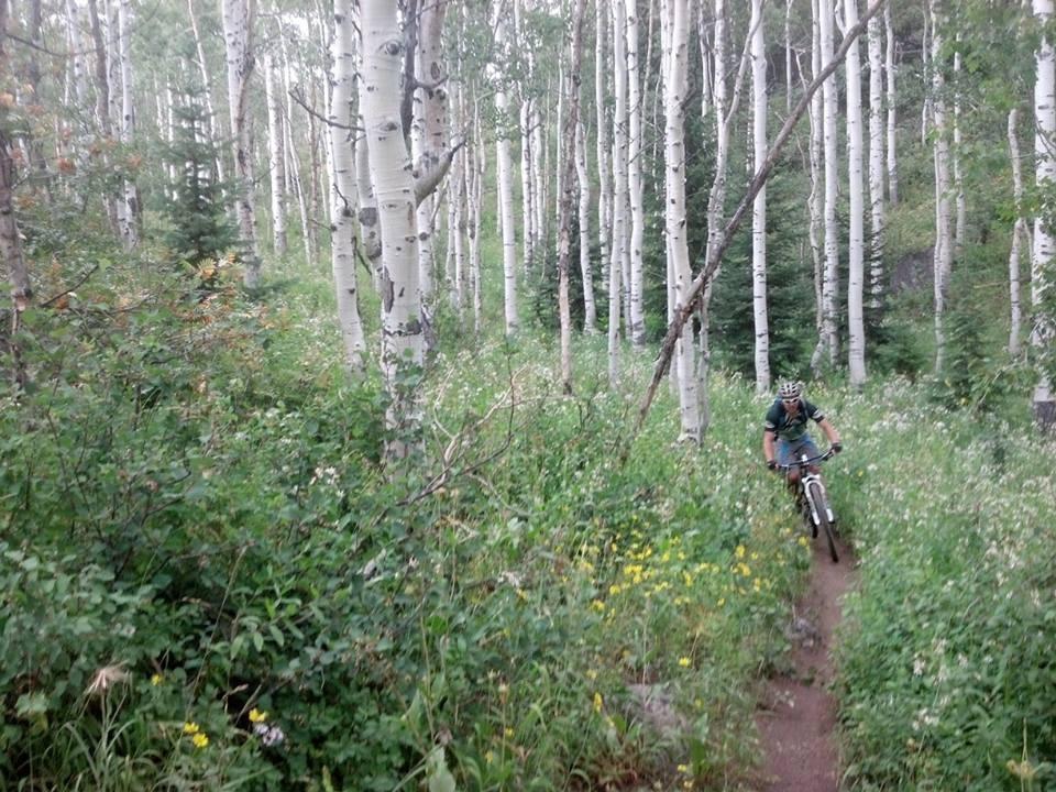
Mountain Biking Soda Mountain
#561 of 1,429 mountain bike trails in Colorado
Extremely technical climb up the back side of Soda Mountain(about two miles and about 2500 feet gain), then a balls to the walls descent(some may choose to hike down one section) to north fork fish creek, followed by a short but steep climb back up to dry lake campground. From dry lake, you can either ride back up to your car(dusty curvy road with cars) or take the screemer descent down spring creek trail and back into town, get a friend to shuttle you back up to your car.
First added by grendil on May 7, 2009. Last updated Apr 28, 2020. → add an update
Before you go
- Drinking water: unknown
- Lift service: unknown
- Night riding: unknown
- Pump track: unknown
- Restrooms: unknown
- Fat bike grooming: unknown
- E-bikes allowed: unknown
- Fee required: unknown
This trail information is user-generated. Help improve this information by suggesting a correction.
Start about six miles past dry lake campground on buffalo Pass Road. Trail is faint but visible across from a four wheel drive trail on the north side of the road.


I rode one trail that I think was in this network, and it was a blast! Markings are very scant around here, and most maps don't help, either. Don't get lost!
| Thank