×

|
Rate it:
Tags:
Level: Intermediate
Length: 14 mi (22.5 km)
Surface: Other
Configuration: Out & Back
Elevation: -
Total: 20 riders
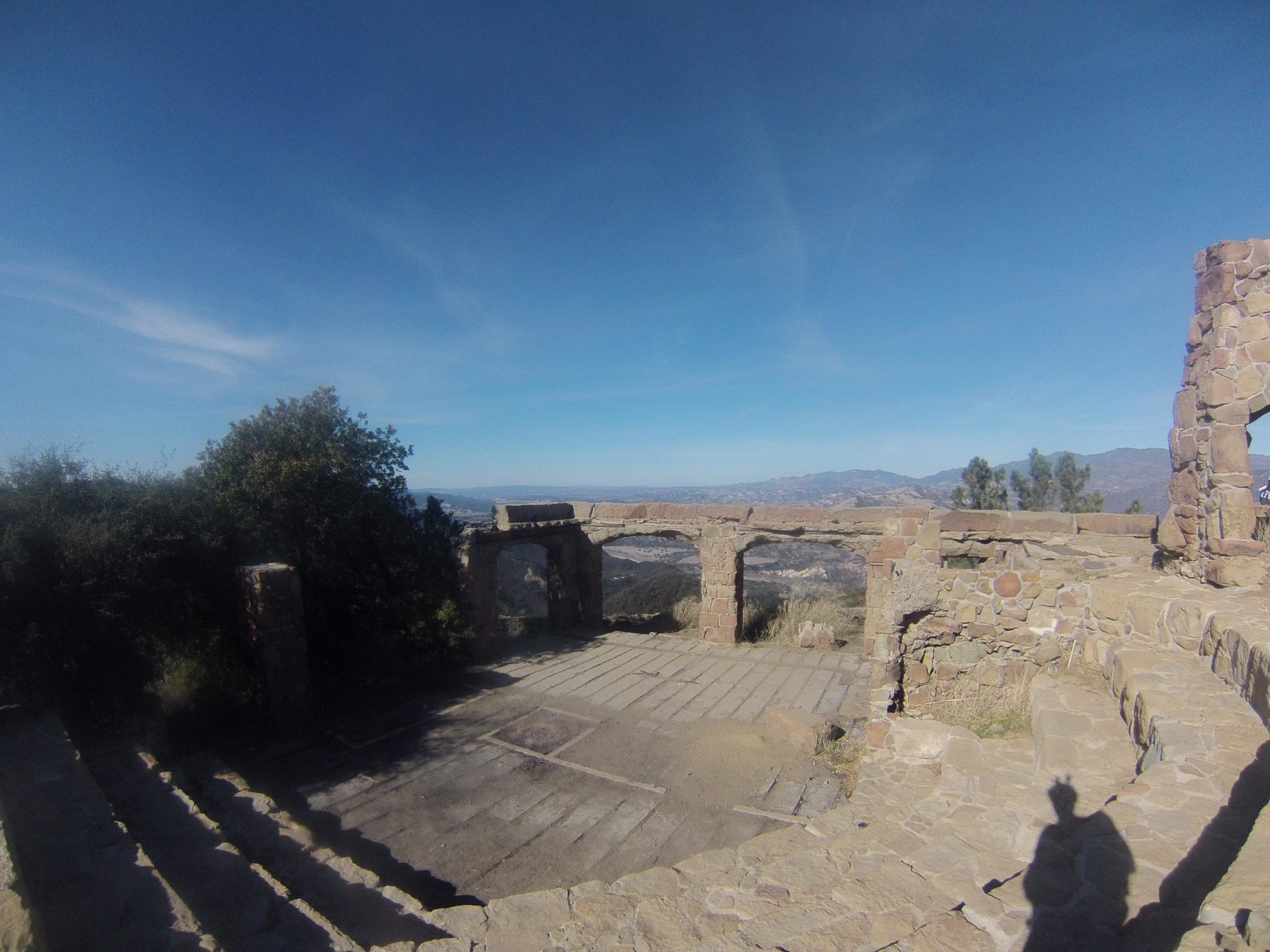
Mountain Biking Snyder Trail / Knapps Castle
#239 of 1,015 mountain bike trails in California
The trail is a combination of old roads and hiking trails (~14.5 miles for the loop option). Moderate difficulty. In Lower Santa Ynez Recreation Area. Elevation gain 2100 feet to East Camino Cielo Road. Popular for downhill mountain biking.
First added by searsandrewj on Dec 16, 2008. Last updated Apr 28, 2020. → add an update
Before you go
- Drinking water: unknown
- Lift service: unknown
- Night riding: unknown
- Pump track: unknown
- Restrooms: unknown
- Fat bike grooming: unknown
- E-bikes allowed: unknown
- Fee required: unknown
This trail information is user-generated. Help improve this information by suggesting a correction.
Off Hwy 101, 10 miles NW on Hwy 154, 4 miles E. on Paradise Road. The trailhead is on the south side of Paradise Road between Los Prietos Campground and the Ranger Station.


Total blast to shuttle. One of the best trails in the county.
| ThankTrail is in good condition, dirt is a little dry under drought conditions. Good work out to ride as up and back I don't reccomend as a loop unless you want to ride a long paved uphill road. A few tight switchbacks some fun fast sections to let it rip not super techy like some of the other front country trails. Fun reccomend the ride.
| Thanka serious workout to climb, I think most people shuttle this trail. The downhill is great with some technical areas.
| Thankstarting from the santa barbara ranger district park and go up fire road. great area for a short ride only went up about a mile or two cuz it was 6am and too foggy to explore for my 1st time but found great dh trail that spit into two others that looked good..
| Thank