×

|
Rate it:
Tags:
Level: Advanced
Length: 12 mi (19.3 km)
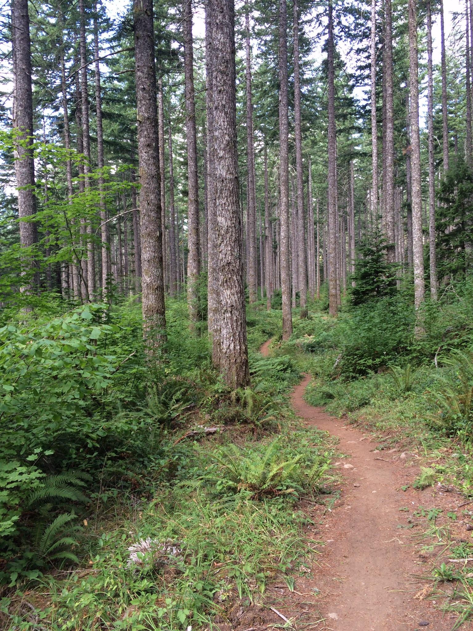
Surface: Singletrack
Configuration: Network
Elevation: +751/ -740 ft
Total: 15 riders
Mountain Biking Shelburg Falls
#62 of 321 mountain bike trails in Oregon
Head up the gravel road for several miles, past the lower falls, and then past the upper parking. There are multiple ways to configure loops. For the most trail, continue climbing to the intersection with Lookout Mountain road. A map is available from ODF.
First added by ACree on Jun 26, 2014. Last updated Apr 30, 2020. → add an update
Before you go
- Drinking water: unknown
- Lift service: unknown
- Night riding: yes
- Pump track: unknown
- Restrooms: unknown
- Fat bike grooming: unknown
- E-bikes allowed: unknown
- Fee required: unknown
This trail information is user-generated. Help improve this information by suggesting a correction.
From Highway 22, turn NW on to Fern Ridge rd. In approx. 1.5 miles, parking (a small lot) will be on the right.


Phenomenal trail with beautiful scenery and miles of singletrack. However, a base level of conditioning is required as this is a very demanding ride physically and the climbing is a grind.
| ThankNice riding up gravel road through private property for 1.5 miles. There is a small cattle operation which allows you to get close to the animals as you cross several cattle guards and around a metal gate before beginning the singletrack at August Mt. trail. Lots of climbing through beautiful forest as you reach Vine Maple Trail, which you can loop or continue your climb to Lost Creek Trail. There are sections of sharp, steep climbing and some hike-a-biking should be expected. Lost Creek trail continues to the park perimeter at Silver Falls SP. Turn around and enjoy the almost 6 mile DH run back to your car. Avoid the FreeRide area trails as it seems they have been abandoned. Overgrowth makes them almost impassable. All other trails are in fine condition.
| ThankNice set of trails that are well maintained. Plenty of climbing but once you top out there is great XC riding to enjoy. The DH return trips are a blast! The local bike group has built miles of trails just outside the east boundary of the park that are a bit more narrow and wild but nothing too extreme. I'd estimate 20 miles of trails total. Great place and I will return.
| ThankGreat single track. Trail conditions consistently good. Ride there often.
| Thank