×

|
Rate it:
Tags:
Level: Intermediate
Length: 5 mi (8 km)
Surface: Singletrack
Configuration: Loop
Elevation: -
Total: 2 riders
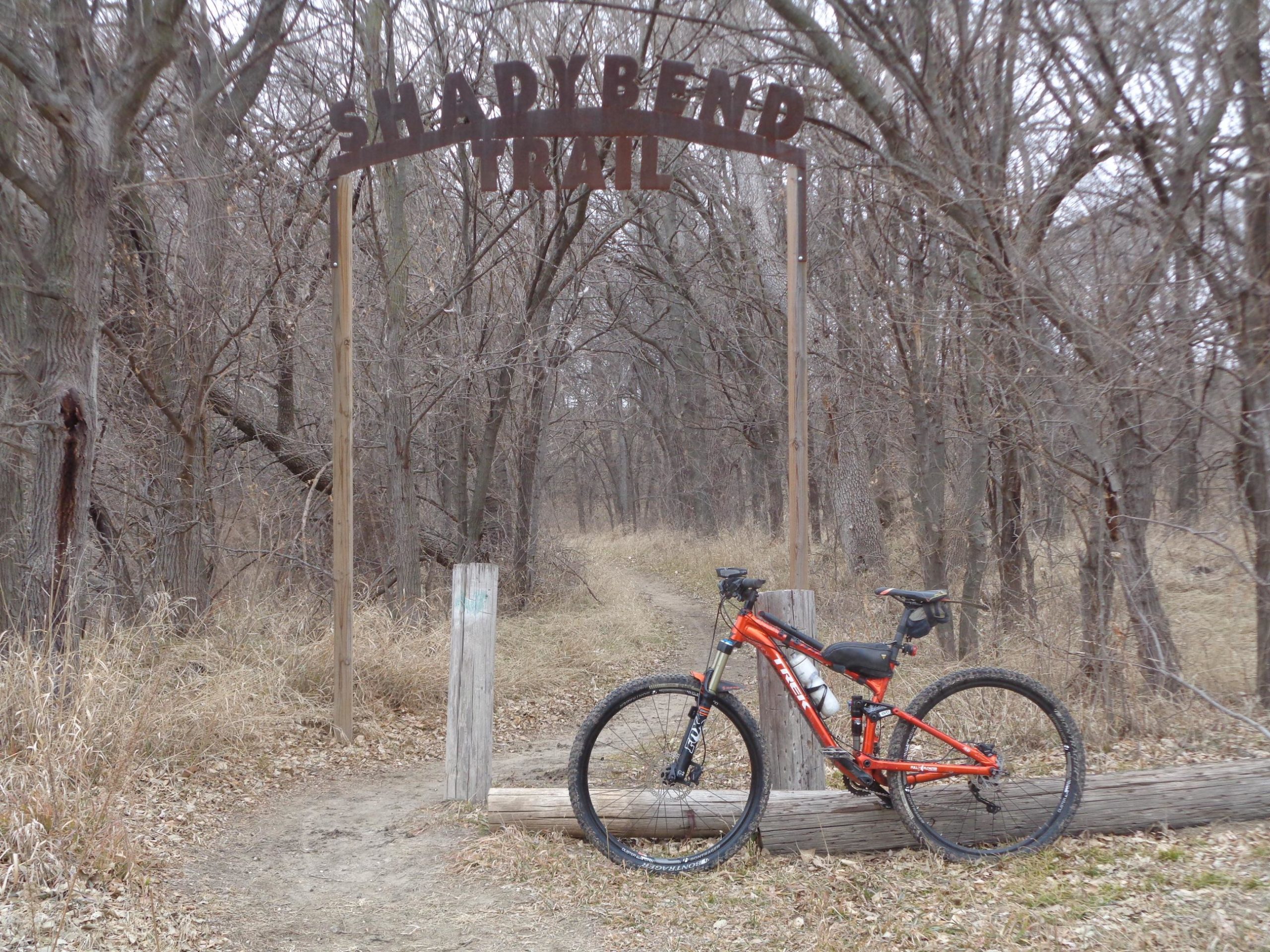
Mountain Biking Shady Bend Trail
#45 of 90 mountain bike trails in Kansas
The trail will follow the South Fork Solomon River winding back and forth. You will hit some sandy spots and lots of small dips and humps. The trail is not well used and still soft but is a fun ride.
First added by Schmo on Dec 27, 2019. Last updated Apr 30, 2020. → add an update
Before you go
- Drinking water: unknown
- Lift service: unknown
- Night riding: unknown
- Pump track: unknown
- Restrooms: unknown
- Fat bike grooming: unknown
- E-bikes allowed: unknown
- Fee required: unknown
This trail information is user-generated. Help improve this information by suggesting a correction.
Once you get into Osborne go to W main St. and go west. You will get to the edge of town at 11th St. and W Main will turn into W 90th St. Keep going west on W 90th St. and it will hook to the left. Turn to the right over the low water crossing and follow it to the trail head. A big archway sign SHADY BEND.


Rode the trail on 3/4/20, the trail was dry and in great shape. Some sections were soft however definitely great riding. Mostly flat with lots of tight turns around trees and some dips. Outside loop on the south side is alongside of the river and has some nice scenery. Great trail for beginners and intermediate riders. Fun riding definitely worth checking out.
| ThankThis trail has great potential. It's still in a pristine state. A little raw and soft due to lack of use. Lots of deer tracks. Very well groomed. This trail is a ways out there but needs some heavy traffic to help establish a good base for a solid trail. Lots of twisting and turning, and dips and small humps, narrow tree passages and light technical challenges to keep you on your toes. This trail needs some trail markers to keep you on the right track so you don't do like I did and miss out on some of the trail. She's pretty flat for the most part so it would be great for all the beginners to test your skills. Had a fun day exploring this one and hope this helps!
| Thank