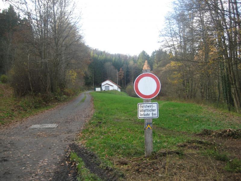
This trail should take you no more than a couple of hours riding time. You will start out with the green fence to your left side. Follow the paved road for .59 miles and then you will come to the woods. Keep going straight you will see a sign that is a blue triangle with a 3 on it. Follow the trail through the cross road down hill at .96 miles. There will be another cross roads that you will go straight through at 1.2 miles. The trail will vere left at 2.67 miles, you will pass a log cabin. Now here is when it gets a little tricky! You will see a white pump house on your left and soon after the trail intersects with a 2 lane road(K51). Your odo should say around 4.69 miles at the intersection, you will turn right onto the road, and then make your immediate leftonto a gravel trail, which forks...stay left. You will see a pond on the left of the trail. There is another fork, but stay left, slightly downhill. At 5.52 miles you will see a camp ground of sorts, with trailers and campers, at 5.83 miles take a SHARP RIGHT. There will be a very large tree stump at the base of the EPIC HILL that you will be climbing, which I like to call Damien's Hill. The hill is only about a third of a mile up, but it is a doosie. It is a 214 foot altitude increase! Hard to get traction! At 6.13 miles, you hit a cross road, but go straight, oh yeah, and there is another hill. This is trail #4. Not to worry, at 6.38 you start going downhill. I have seen a few deer on this trail around this area, so keep your eyes open. You will descend for a while until 8.24 miles, gives your legs a nice rest. Now you are back to that 2 lane(K51). Take the right then your next left back onto the gravel trail, trail #2. Pass the white pump house, which will be on your right now at 8.68 miles. Keep straight, but DON'T turn left onto trail #2, go straight which will take you to trail #3 again. There will be a fork at 9.53 miles, stay right. At 9.8 miles there will be a cross roads, go right, there will be another fork at 10.05 miles, go right. At mile 11.31, take a right by a BIG white and brown house, there will also be a little building on the left that says Wasserwerk Steltzenberg. You will see a 2 lane road ahead. Cross the road and go left onto some sweet singletrack. If you want to ride the while single track keep going straight at mile 11.74, if you would like to go down a rocky and very steep downhill, turn left. If you chose to go down the rocky hill, you can cross the street at the red fence and get a beverages or food(I suggest the Gold Export beer)! If you choose to stay on the single track, stay straight at mile 11.74 and at mile 12.72 you will see a white house. There is a small trail to the right of the house, but watch out for a big root going across the trail. Go on the small trail which will lead you around to the other side of the house. At the other side of the house, the trail ends at a 2 lane. Turn left and go until you see that red fence and make that right. You will end up at the NATURFRUEHAUS, which has the food and tasty beverages. After you get "rested" up, keep to the left and you will see a trail on the left going uphill, take that trail. Keep straight and it will take you back to your vehicle. Try not to get lost and Enjoy!


Pretty sweet starter area! Lots of kickers!
| ThankIt was pretty fun. There is a huge network of trails in the area. A lot of single tracks and a truck load of double tracks. There area a lot of hills to get your heart going. I did this trail with a few friends and had a great time.
| ThankThere are many trails that connect to this one, many easier ones. If you are not big into raising your heart rate, don't go on this trail. If you enjoy excercise and great scenery this is a good trail to hit.
| ThankSome hard uphills with great downhill sections and awesome scenery.
| Thank