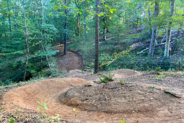
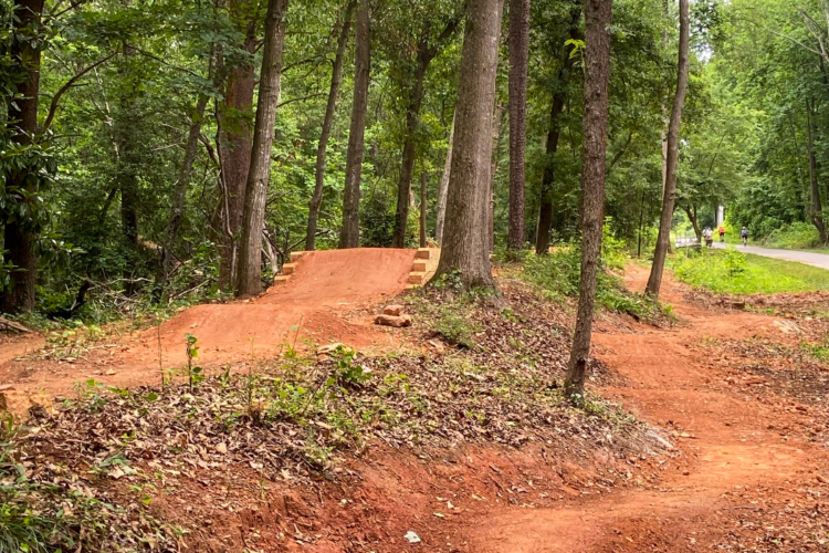
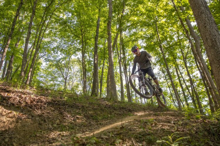
14 Trails in North Augusta, South Carolina
| Trail Name | Difficulty | Length (mi) | Rating | City |
|---|---|---|---|---|
| Brown Wave (Forks Area Trail System (FATS)) |  |
6.0 | Clarks Hill | |
| Deep Step Loop (Forks Area Trail System (FATS)) | |
5.0 | Clarks Hill | |
| Forks Area Trail System (FATS) | |
37 | Clarks Hill | |
| Great Wall Loop (Forks Area Trail System (FATS)) | |
7.0 | Clarks Hill | |
| Tower Loop (Forks Area Trail System (FATS)) |  |
4.0 | Clarks Hill | |
| Skinny Loop (Forks Area Trail System (FATS)) | |
6.0 | Clarks Hill | |
| Big Rock Loop (Forks Area Trail System (FATS)) | |
4.0 | Clarks Hill | |
| Pumping Station | |
3.0 | Augusta | |
| Boyd Pond | |
5.0 | Beech Island | |
| Modoc (Stevens Creek Trail) | |
12.0 | Modoc | |
| Augusta Canal |  |
12.0 | Augusta | |
| North Augusta Greeneway | |
5.0 | North Augusta | |
| Lick Fork (Horn Creek) | |
6.0 | North Augusta | |
| Turkey Creek | |
14.0 | Plum Branch |
Know of a new mountain bike trail not listed here? Please tell us about it using this form. Find mountain bike trails near you or for even more trail inspiration and how we ranked the mountain bike trails, see this list of the best mountain bike trails in the world.