×

|
Rate it:
Tags:
Level: Beginner
Length: 9 mi (14.5 km)
Surface: Fire Road
Configuration: Network
Elevation: +446/ -379 ft
Total: 83 riders
Mountain Biking Redwood Regional Park
#221 of 1,015 mountain bike trails in California
Follow Ridge trail to West ridge trail Right on Stream Trail then left onto Canyon. There are maps at trail head most days. Your Basic East Bay steep rolling loop. Ride Lake Chabot lower to Redwood is a change up also
First added by Juan_Gear on Mar 10, 2006. Last updated May 1, 2020. → add an update
Before you go
- Drinking water: unknown
- Lift service: unknown
- Night riding: unknown
- Pump track: unknown
- Restrooms: unknown
- Fat bike grooming: unknown
- E-bikes allowed: unknown
- Fee required: unknown
This trail information is user-generated. Help improve this information by suggesting a correction.
From Castro Valley take Lake Chabot road to Redwood Road north to Pinehurst Road take a right. Park at staging area


Great Trails.
| ThankGood double track like bikerboy13 says. There are some good spots to get speed, to make the ride more interesting, go through juoquin miller park, there is some good single track in there.
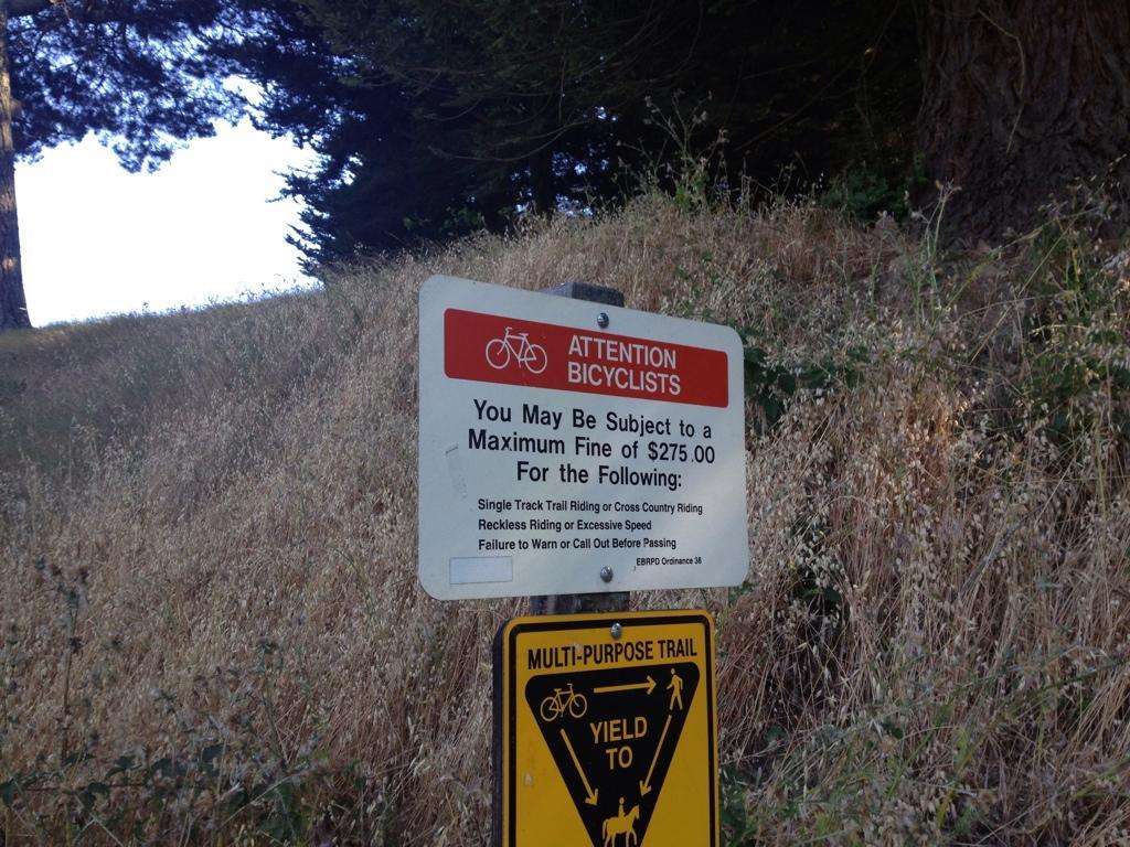
| ThankPretty good riding, nice doubletrack! but the stupid parks make all the singletrack illegal to bikers!!?? So messed!
| ThankFresh air and fire roads. Nice being in nature but you're not going to find anything too extreme. Joaquin Miller is a fun addition/alternative and is right next door.
| ThankNot a bad place to go. It has some pretty good doubletrack, but all the singletrack is illegal for bikers. Which is dumb. Anyways, the doubletrack is not too bad and there are some good fast spots. A better place to go is Joaquin Miller.
| ThankRedwood Regional does not require dogs on leash. I mountain bike with my pup all the time, but stick to Joaquin Miller cause duh it's more fun... Still. I hate the hate towards other trail users and animals, we all must share and to be happy outside on multi-use trails, not against each other. I see too much of this. Say hello and excuse me and on your left and it's really that simple... Don't be in such a rush to go in a circle, it's just not that serious.
| ThankThe East Ridge, West Ridge loop is OK, and made much better with the addition of the JM trails.
| ThankRedwood fire trails we ride during the day, but late at night with lights, riders descend upon the illegal single tracks in between the 2 ridges.
East ridge trail is fun for my beginner boy, age 6. Dropped off at skyline blvd. access to east ridge trail and it's easy rutted fire road. Nice downhill for 3 miles. Then turn off at canyon trail for a steep descent into the picnic playground grove at the Redwood rd. entrance of the park.
| ThankThis trail used to be much more fun before the bulldozed the downhill for those damn horses. Thats right, lots of horses on this trail.
| ThankSome trails are closed now. So up canyon north on ridge which hooks up to west ridge for the loop back south and will drop a sketchy down hill to the valley. Was fun in a fire road kinda way. Would be good for beginners that are gutsie
| Thank