×

|
Rate it:
Tags:
Level: Intermediate
Length: 27 mi (43.5 km)
Surface: Singletrack
Configuration: One-way
Elevation: +1,862/ -2,597 ft
Total: 5 riders
Mountain Biking Pakihi Track
#18 of 170 mountain bike trails in North Island
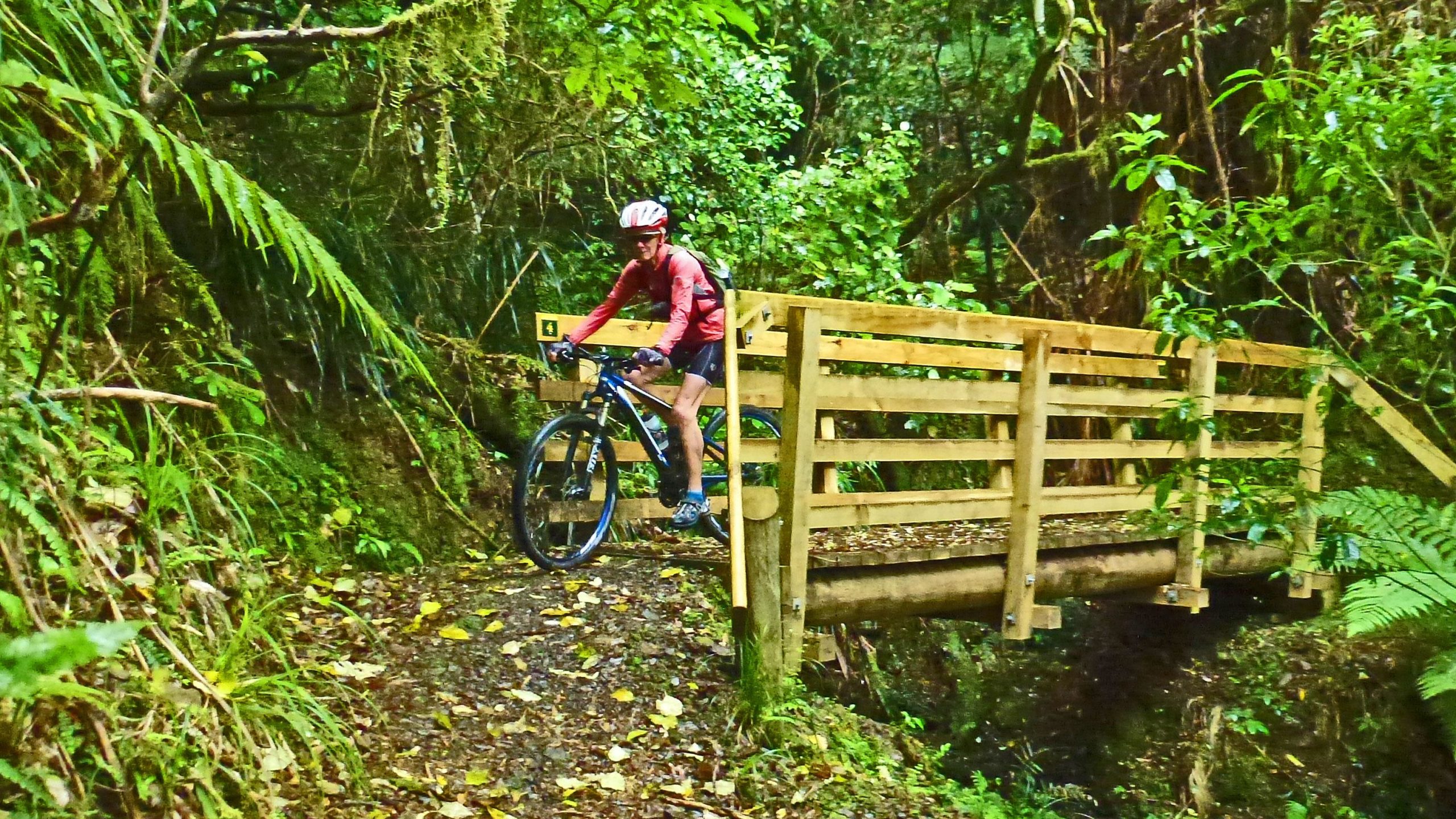
This is the most challenging of the Motu Trails and it's isolated and rugged - a one day wilderness adventure. Twenty three kilometers of the trail is singletrack. It crosses 24 bridges and one of them is a 30 metre long swingbridge. The last 21 kms take you along roads to Opotiki on the coast.
The trail is an alternative to the Motu Road Trail or can be combined with it to form a loop.
First added by Jim Cummings on Jul 14, 2014. Last updated Sep 17, 2024. → add an update
Before you go
- Drinking water: yes
- Lift service: unknown
- Night riding: unknown
- Pump track: unknown
- Restrooms: yes
- Fat bike grooming: unknown
- E-bikes allowed: unknown
- Fee required: unknown
This trail information is user-generated. Help improve this information by suggesting a correction.
Turn off the Opotiki-Gisborne highway at Matawai and go down the Motu Road for 17km to the roadend. Most people arrange a shuttle from Opotiki.


Lovely down hill ride, easy cruise rather than steep hard out down hill. Lots of tree cover, leaves and rocks on the first half of the track. Lower half of the track is along the river bank, some drop offs and one tricky section requiring clambering over a rockfall. Allow a couple of hours for a cruise ride
| ThankIt's officially a grade 4 (advanced) trail because of the steep side exposure in some parts but many grade 3 riders (intermediate) ride it, walking the scary parts.
| ThankThe Pakihi Track deserves its legenday reputation. It's a remote back-country icon. The remarkable thing about it that it's not difficult despite traversing such a steep, rugged wilderness.
| Thank