zleehw February 25, 2017 Fun simple morning ride, 1 crossing had water but the rest of the trail was fun. Reply | Thank


Wide pathway, better suited as a gravel bike ride.
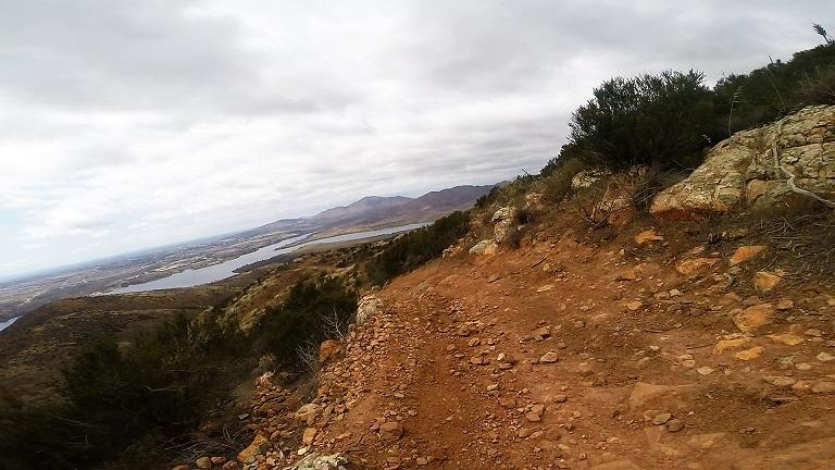
| ThankIt a vary fun trail with a nice view of a lake
| ThankMuddy, but fun
| ThankFun simple morning ride, 1 crossing had water but the rest of the trail was fun.
| Thank