×

|
Rate it:
Tags:
Level: Intermediate
Length: 15 mi (24.1 km)
Surface: Singletrack
Configuration: Network
Elevation: +439/ -435 ft
Total: 51 riders
Mountain Biking Nassahegan State Forest
#6 of 113 mountain bike trails in Connecticut
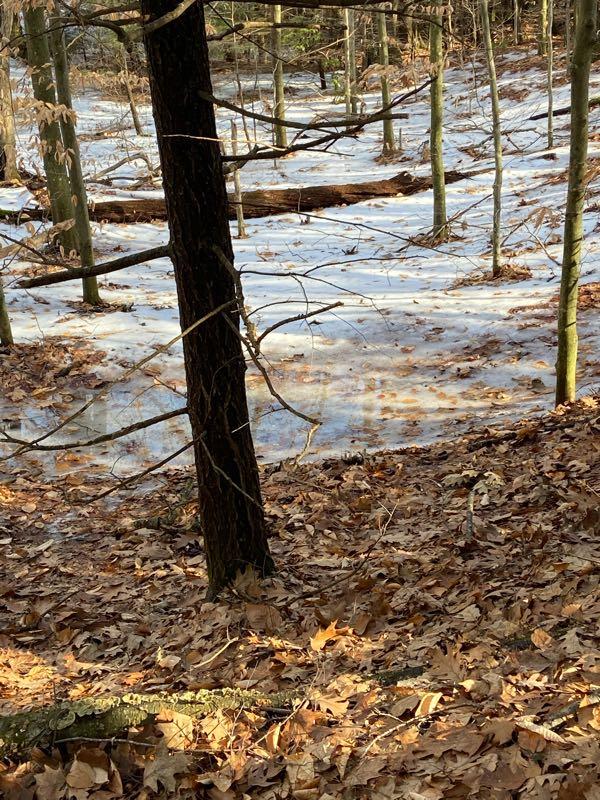
A good network of trails in the Nassahegan State Forest. A main loop with a number of side trails. A large loop exist that will bring you past a road. Parking is Avaliable at the park across from the trail head.
First added by arouil1 on Jul 9, 2016. Last updated May 11, 2020. → add an update
Before you go
- Drinking water: unknown
- Lift service: unknown
- Night riding: unknown
- Pump track: unknown
- Restrooms: unknown
- Fat bike grooming: unknown
- E-bikes allowed: unknown
- Fee required: unknown
This trail information is user-generated. Help improve this information by suggesting a correction.
From Heartford, CT if on I-84
Head west on I-84
Use the right 2 lanes to take exit 39 towards CT-4/Farmington
Continue onto State Hwy 508
State Hwy 508 turns slightly right and becomes CT-4 W
Turn Left onto CT-10 S
Turn right onto Meadow Rd.
Continue straight onto Red Oak Hill Rd.
Continue onto Coppermine Rd
Turn Right onto W District Rd.
Continue onto Burlington Rd.
Continue onto George Washington Turnpike.
Slight right to stay on George Washington Turnpike.
Turn right onto Case Rd.
Turn Left onto Punch Brook Rd.
Arrive at Nassahegan Recreational Complex.
Park a complex and Trail head is across the street from the Soccer Field.


Nass is a must for any avid MTBer in central CT. Park at the ball fields off Punch Brook, find the main White trail just south of the baseball diamond and go. The place is huge with over 1000 acres and 30-40 miles of singletrack goodness. Stay on the well-marked White-blazed trails (Red/Blue/Green/Purple/Yellow) and avoid the blue trails (for hikers). Kudos to the state forest keepers and NEMBA for working out an awesome trail system. Watch out for bears!
| ThankSome really great riding, something for everyone. Miles and miles of trails. in all got in a good 15 miles. Great single track. The trail to sessions woods is really something. One thing to watch for is someone walking two dogs. The first dog is small Border collie, black and white, and very happy to see you. Running off leash, he is no problem. His name is Jake. The other dog is a large Bloodhound. You have to watch for this guy. While he was leashed he was able to pull away and attacked me, bighting me on the thigh, leaving two puncture wounds. The owner had to pull the dog off, I did not get the owners name I just wanted to get away from dog. This was on the white trail right at the connection with the green and white when your coming up from the ball fields.
| ThankYesterday was my first time at Nassahegon. It was probably the most fun I've ever had on a mountain bike. Great flowey trails that were just a hoot to ride.
| ThankIn my backyard so lucky to be close. Great riding and great people. NEMBA keeps trails awesome. Join a chapter and help keep trails clear.
| ThankGreat mix of flowy trails, fast downs, and efficient climbs. Miller time is a stand out trail. Huge berms for what feels like miles. I feel like there are way more trails that we didn't hit so find a good map and plan for a long ride.
| ThankGreat ride. Enter at the main gate and follow blue/purple to blue/yellow. Lots of single track trails up and down hills. Definitely a great place to ride.
| Thank