The Mount Wilson Trail is located near the Mount Lowe Railway descent, but it is a much less mountain bike-friendly descent. The upper and middle trail, at least, are very narrow in spots, and the trail is even washed out in a couple of places. Crazy switchbacks will force you to dismount at least a couple of times.
However, it IS still a pretty fun ride, especially once you reach the lower half of the trail which is better maintained. Anytime you drop almost 5,000 vertical feet in less than 8 miles on your mountain bike is a good time in my book!
To start, I highly recommend shuttling this trail. It would be a painful climb to the top if you started from the bottom. GPS coordinates for the top of the trail are given, and if you are parking a car at the bottom the coordinates for the end are: 34.190454,-118.107142
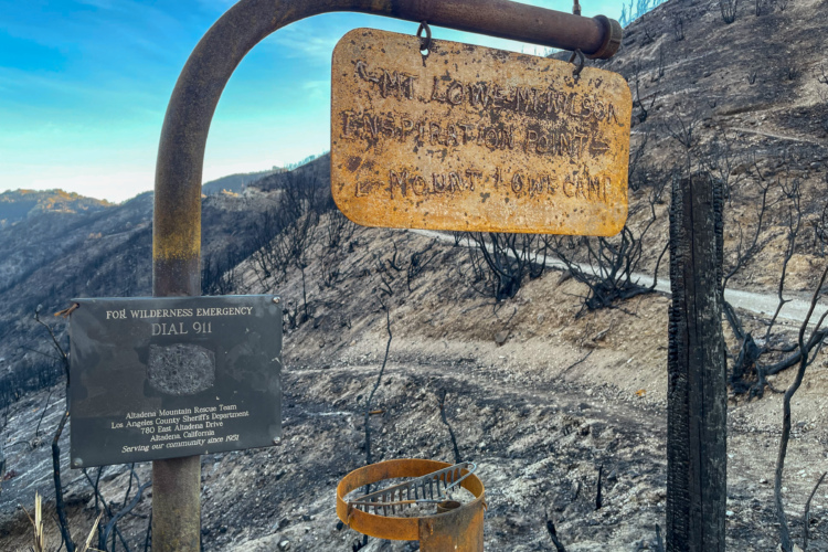
Begin by heading down the Mount Willson Toll Road, past the white gate. A few hundred yards down the road, hang a left onto the Mount Wilson Trail. From here on out the trail signs are few and far between, but at one major intersection be sure to take the trail down to the right instead of the one with the big sign that says "Trail" heading down to the left off the ridge towards Chantry Flats.
Be sure to watch out for hikers on this trail. I rode it on the 4th of July (probably a bad choice) and there were a ton of people out!


 2
2

good piece of dh enduro allmountain
| Thankride
Nice single track most of the way. Watch out for hikers near the top and bottom. Couple sections washed out.
| ThankLots of hikers on this trail, overgrown in places, and some spots are unrideable... but I still recommend checking it out!
| Thank