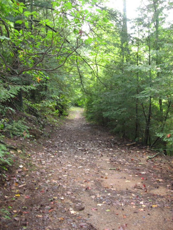
This is a doubletrack loop of about 8.5 miles in length. The majority of the loop is a gated forest road, with part of it being an open forest road. This ride is a great option for a shorter, easier ride in the area, and is also great when the nearby singletrack is too wet to ride. I personally find myself riding this loop a lot during the winter, and also combine it with the other nearby forest service roads for more mileage.
However, there is one very deep creek crossing that used to have a bridge over it but does not anymore, but if you head down stream on some of the unmarked singletrack you can cross a shallower spot on some gravel bars.
Route: From the church outside of Camp Frank D. Merril (the ranger camp), head left on the gravel road about a quarter of a mile. Turn into the ranger camp under the gate (not the main entrance near the church) and drop down the pavement, past the rec hall. Ride onto the grass and hang around the back side of the rec hall, and then off the back corner hang left and look for the bridge over the creek.
After crossing the creek, continue straight, past some ranger obstacles and onto the gravel. Take the quick left up the hill, and now you're on the main section of gated gravel road.
Follow that main gravel road until it T's into FS 28-1. Hang a left on 28-1 and climb back to the truck. See the GPS map for more help with navigation.
 | Creek Crossing To Bee Trail | 2 mi | |
 | Deep Creek Crossing | 2 mi | |
| The Bee Trail | 10 mi |


This is a fun section of singletrack that I typically ride west-east starting off FS141. It's flowy and mostly smooth and has a very backcountry feel even though it's not very far out from main roads. After you pass the falls the trail widens and climbs a little until you get back to FS141 near the Ranger base.
| ThankJust cruising more forest service road.
| ThankThis trail is in much better shape than it was from when MTBGreg wrote his last review. There are no longer any ruts of significance and the gravel is all packed down to create a pretty smooth and fast ride. This is a good loop for a good speed/cardio workout, especially when all of the singletrack trails are too wet or muddy to ride on.
| ThankThis was another Trail right near the Ranger Camp where I work. Basically added it to the "List". If your in the area there are many more trails to ride that present a much more satisfying time.
| ThankI rode this loop on 1/26/13, and the logging operations have completely torn the gravel road up. To compensate for the wet conditions, they have spread large-bore gravel over most of the length of the road that is a PITA to ride through. Add in the ruts from the machinery, and I probably won't be riding this route again for several months.
Also, note that the bridge across the deep stream crossing has been removed.
| ThankHard to find trailhead. Not a single track. Some strenuous uphill sections, not for the faint of heart, but DH sections were a thrill. There is a single track off the trail. That single track section should be rated Advanced due to obstacles, but there is a beautiful water fall that is worth to visit. I started using clip less pedals 4 months ago, and still found hard to unclip on the single track section many times. I have done MTB for only 4 months and enjoyed this trail. Note: I was too confident on the wide sections and speed up too much going DH and exceeded my skill level and had a bad accident. Have fun, but bee careful.
| Thank3 stars. Would be nicer if in better shape.
| Thank3 stars. Cool location, but the ride isn't all that great.
| ThankThe Fools Gold 50/100 mile race is getting routed down this trail tomorrow. I rode it today, and the main section (which is referred to as the Bee Trail) is very rideable except for 2 downed trees. The big waterfall is a nice touch too!
| Thankat the time of this post, there were a couple of large trees down at points along the trail, but it was rideable for the most part. Great singletrack!
| ThankThis trail is AKA "Camp Wahsega" in Jim Parham's Off the Beaten Path. Also, the trail length should be 8.5 miles, according to the book.
| ThankRode from the Jake Mountain parking lot to turn this 8 mile loop into about a 17 mile lollipop. Pretty sweet ride forest road ride. Got a little turned around trying to find a turn and ended up having some interesting detours. All in all, a fun ride.
| Thank