×

|
Rate it:
Tags:
Level:
Length: 20 mi (32.2 km)
Surface: Singletrack
Configuration: Network
Elevation: +217/ -217 ft
Total: 3 riders
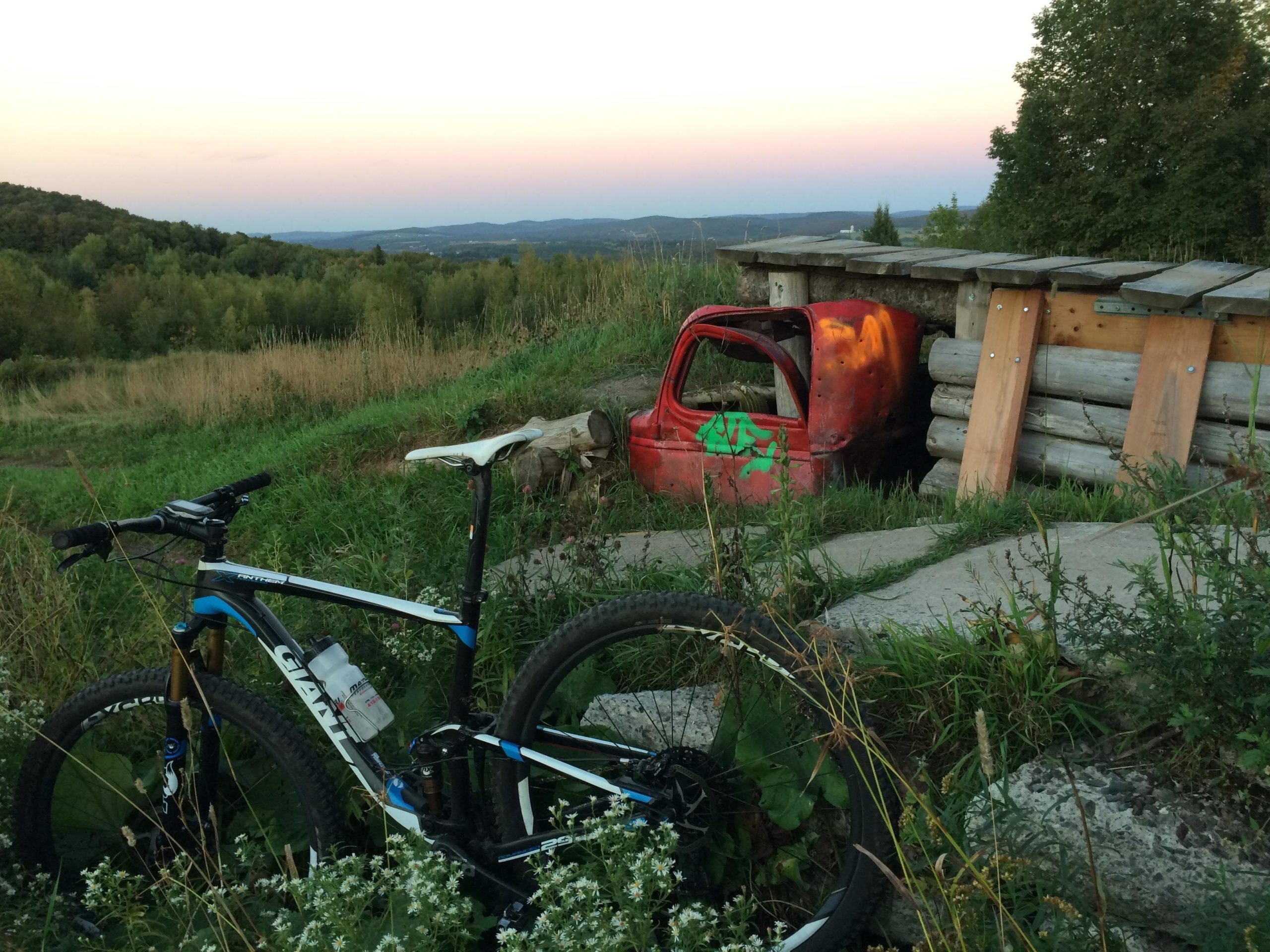
Mountain Biking Mont Arthabaska
#63 of 106 mountain bike trails in Quebec
Trails are set from easy (green), intermediate (BLUE) and hard (BLACK). The
best ride up is through the 24 and then getting the 22 to the Chalet. A
Variation is to get to the Mont-St Michael through the 25. Nice rides very
techinical and the city will invest to improve the trails.
First added by C4ipp3r on Jul 17, 2012. Last updated Apr 28, 2020. → add an update
Before you go
- Drinking water: unknown
- Lift service: unknown
- Night riding: unknown
- Pump track: unknown
- Restrooms: unknown
- Fat bike grooming: unknown
- E-bikes allowed: unknown
- Fee required: unknown
This trail information is user-generated. Help improve this information by suggesting a correction.
From Downtown Victoriaville, drive south towards the Hospital on the Blvd Bois
Francs Sud, turn left on rue des Hospitalieres, right at rue Girouard and drive
uphill to the end of rue Girouard and the parking lot at the bottom of the
mountain.