×

|
Rate it:
Tags:
Level: Intermediate
Length: 1.4 mi (2.3 km)
Surface: Singletrack
Configuration: Connector
Elevation: +89/ -121 ft
Total: 6 riders
Mountain Biking Monitor & Merrimac Singletrack
#153 of 713 mountain bike trails in Utah
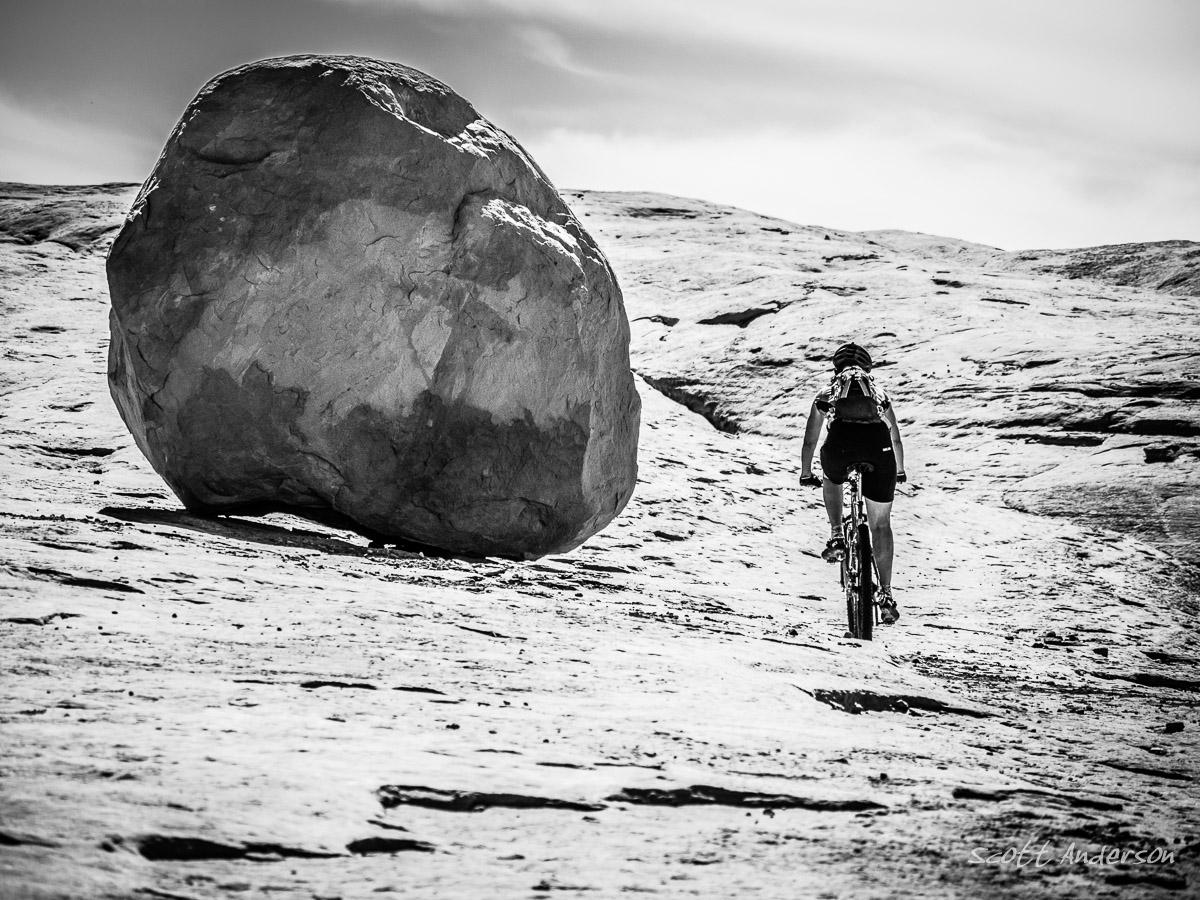
Review: Please note, this is NOT the old sandy jeep road that shares the same name. This trail does start out on a fire road, but turns off onto singletrack and eventually ends up on a slickrock shelf that goes around and between two buttes. You can play around as long as you want on the slickrock, and then head back out, stopping to hike the short footpath near the end whee you can see dinosaur bones in the rocks. (follow the signs) This is a short, but fun and scenic trail and is a good one to do if you are new to Moab.
First added by Corey Maddocks on Oct 4, 2013. Last updated Apr 28, 2020. → add an update
Before you go
- Drinking water: unknown
- Lift service: unknown
- Night riding: unknown
- Pump track: unknown
- Restrooms: unknown
- Fat bike grooming: unknown
- E-bikes allowed: unknown
- Fee required: unknown
This trail information is user-generated. Help improve this information by suggesting a correction.
Monitor and Merrimac. You can drive in a little ways to the new parking lot.


Fun, fun slickrock riding. The entrance trail through Mill Canyon sucks, though. This would be better done on a fat bike because of all the sand. Instead I would recommend going in via the east leg, playing around on the slickrock then come out the same way.
| ThankThe slickrock and the views on this trail are pretty fantastic! Overall this trail is pretty easy, but it's a great introduction to Moab. Think of this as Moab lite... if you can't handle this, I wouldn't suggest riding much else in Moab. Head back to Fruita and ride 18 Road.
| Thank