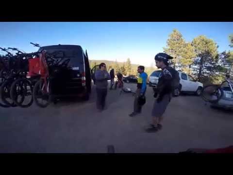
This is an almost advanced XC trail or intermediate DH trail. Very fast, multiple terrain types. This is only the lower section of the trail. Shuttle or ride to top.
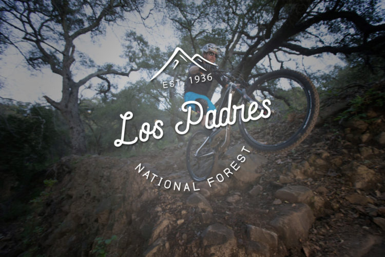
The Los Padres National Forest near Santa Barbara and San Luis Obispo, California, offers great mountain biking on trails like West Cuesta Ridge, Little Pine Mountain, and Romero Canyon
Do not ride this trail during winter. I can handle perma frost and snow, but there are deceitful patches of ice that develop in some of the turns. I'll definitely come back to this one during warmer months.
Hey R.Basconcillo Mr MTB pro..,.you didn't look like a professional the day you went over the edge on that rocky section???????????? do you need me to post a picture of you walking back to the trail with no shoe because it flew off when you ate shit????????????????
Really fun trail. Has a little bit of everything. Narrow trails, Rocky sections couple of switchbacks. The trail can get really fast if you let it. Beautiful scenery and easy to follow


Do not ride this trail during winter. I can handle perma frost and snow, but there are deceitful patches of ice that develop in some of the turns. I'll definitely come back to this one during warmer months.
| ThankHey R.Basconcillo Mr MTB pro..,.you didn't look like a professional the day you went over the edge on that rocky section???????????? do you need me to post a picture of you walking back to the trail with no shoe because it flew off when you ate shit????????????????
| ThankWhat the fuck do you know you probably just started riding!!!!!!
| ThankReally fun trail. Has a little bit of everything. Narrow trails, Rocky sections couple of switchbacks. The trail can get really fast if you let it. Beautiful scenery and easy to follow
| Thank